Paris, KY
Advertisement
Paris Map
Paris is a city in and the county seat of Bourbon County, Kentucky, United States. It is part of the Lexington-Fayette, KY Metropolitan Statistical Area. Settled in 1775, it lies 113 miles (182 km) east of Louisville, on the Stoner Fork of the Licking River. The town was originally known as Hopewell, Virginia when it was chartered in 1789. The name was changed in 1790 to reflect appreciation for French assistance during the Revolutionary War. Its tourism motto is "Horses, history and hospitality".
Paris was first chartered as a city in 1862. In 1900, 4,603 people lived here; in 1910, 5,859; and in 1940, 6,697. The population was 9,183 at the 2000 census. Its ZIP code is 40361.
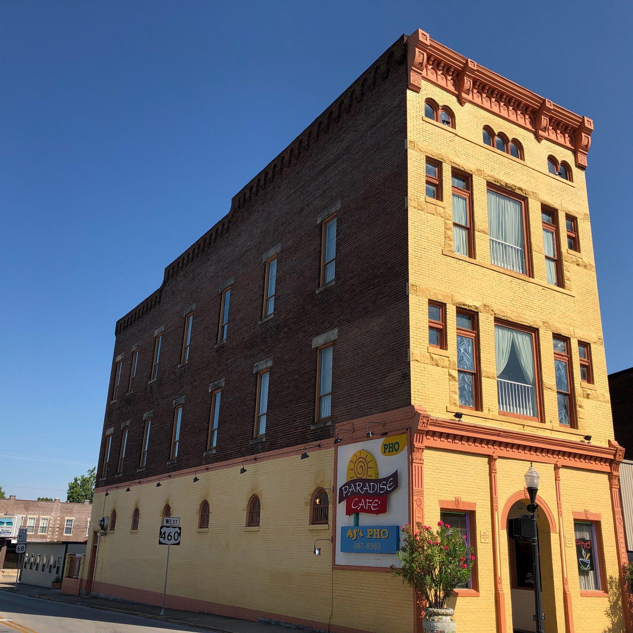
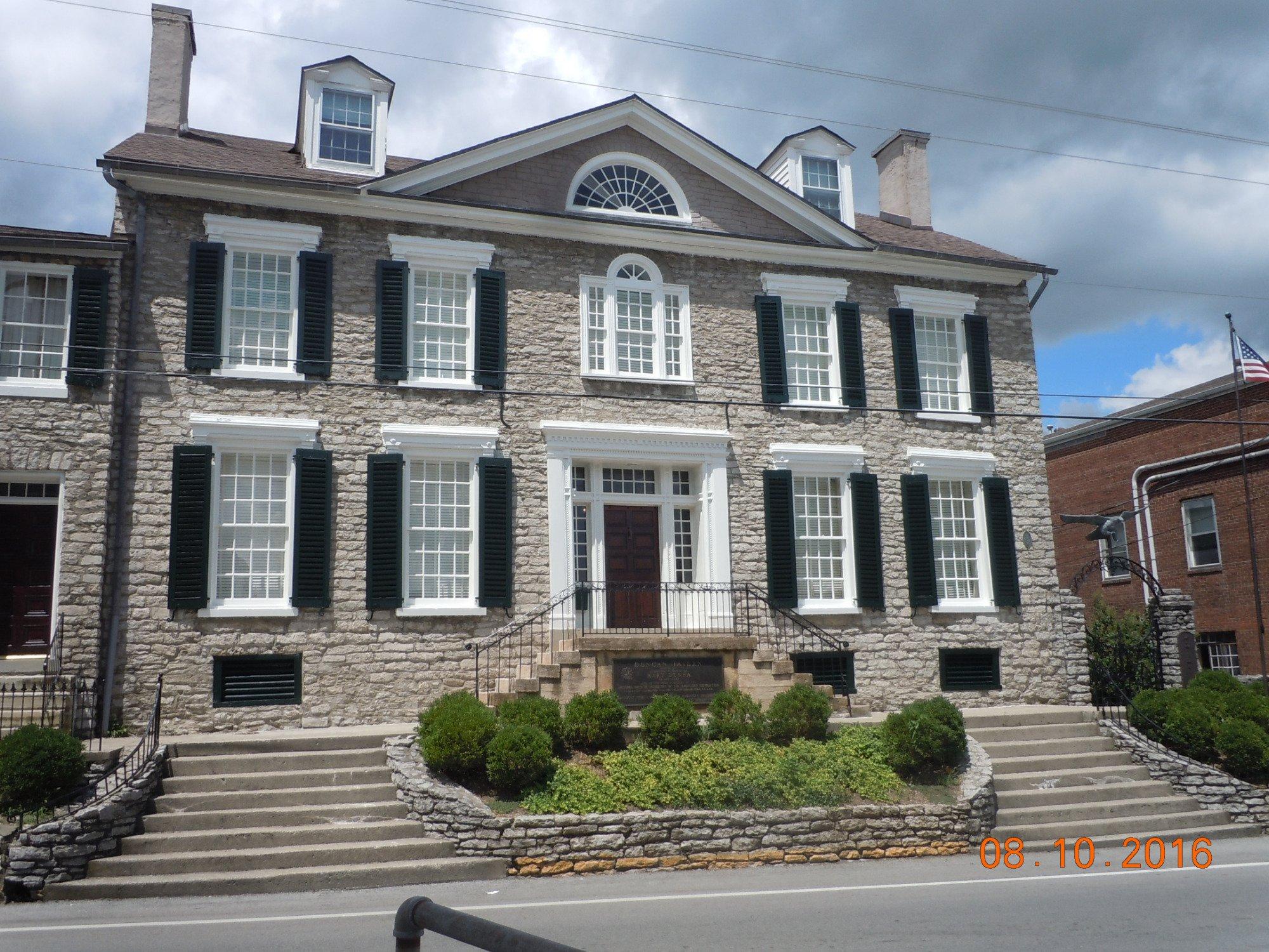
The Main Street stretch of Paris, Kentucky, is a product of much time, effort, and money put into the preservation and revitalization of historic buildings downtown. With a handful of new restaurants garnering attention from the Central Kentucky region and beyond, a variety of downtown Paris businesses are reaping the benefits.
Nearby cities include Cynthiana, Carlisle, Winchester, Georgetown, Sharpsburg.
Places in Paris
Dine and drink
Eat and drink your way through town.
Can't-miss activities
Culture, natural beauty, and plain old fun.
Places to stay
Hang your (vacation) hat in a place that’s just your style.
Advertisement


