Harlan, KY
Advertisement
Harlan, KY Map
Harlan is a US city in Harlan County in the state of Kentucky. Located at the longitude and latitude of -83.320000, 36.841400 and situated at an elevation of 363 meters. In the 2020 United States Census, Harlan, KY had a population of 1,776 people. Harlan is in the Eastern Standard Time timezone at Coordinated Universal Time (UTC) -5. Find directions to Harlan, KY, browse local businesses, landmarks, get current traffic estimates, road conditions, and more.
Harlan, located in the southeastern part of Kentucky, is a city with a rich history deeply rooted in coal mining, which has shaped its cultural and economic landscape. Known for its rugged Appalachian charm, Harlan offers a glimpse into the region's storied past and the resilient spirit of its people. The Kentucky Coal Museum provides an informative look into the coal industry's impact on the area, showcasing artifacts and exhibits that tell the story of the miners and their families. Additionally, visitors can explore the Portal 31 Exhibition Mine, where they can experience a guided underground tour that delves into the history of mining in Harlan.
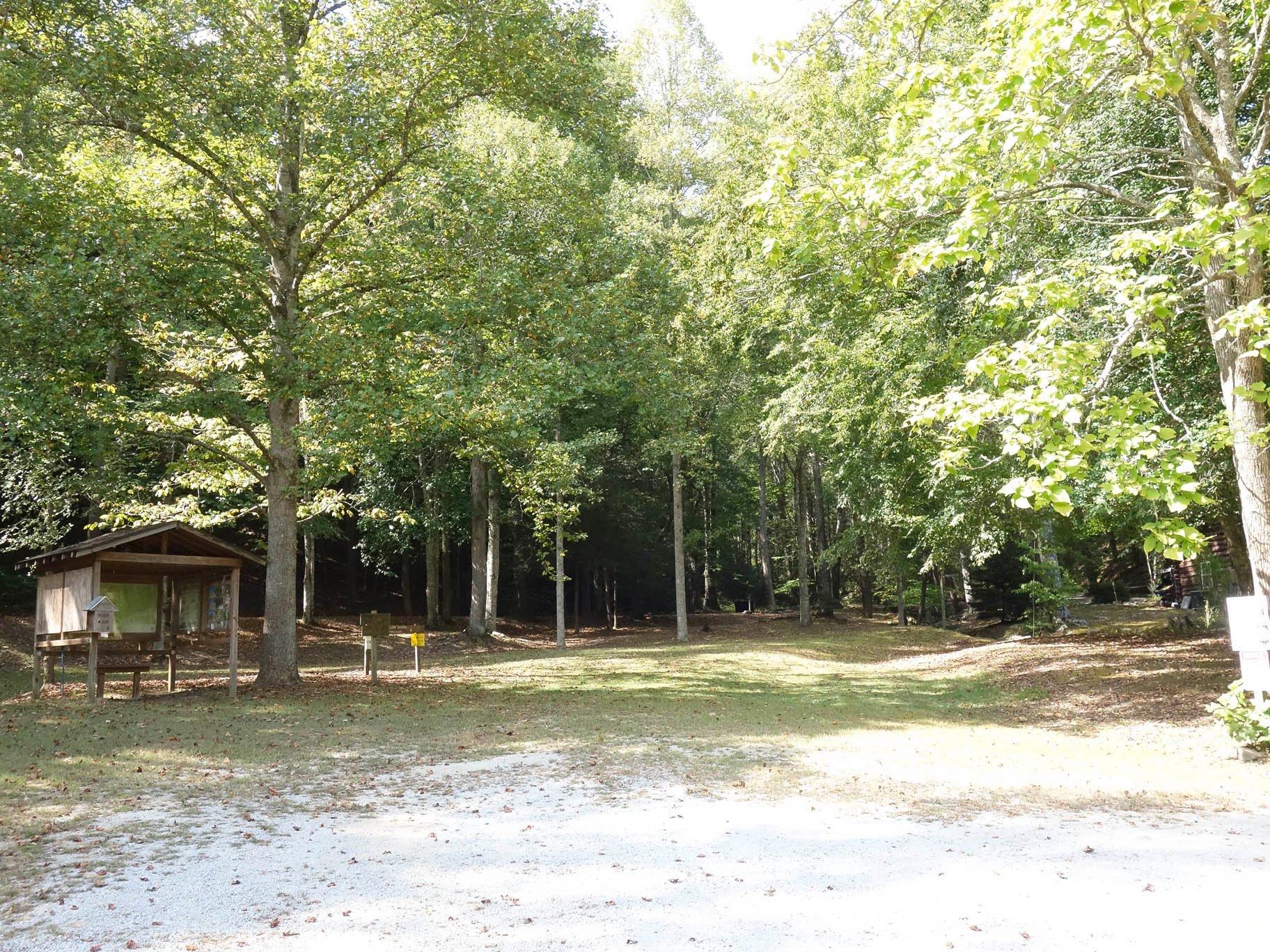
Outdoor enthusiasts will find the surrounding natural beauty of Harlan captivating, with opportunities for hiking, fishing, and wildlife observation in the nearby Black Mountain and Kingdom Come State Park. These areas are noted for their picturesque landscapes and diverse ecosystems, offering a serene escape for nature lovers. The city also hosts various cultural events and festivals throughout the year, celebrating Appalachian music, crafts, and traditions, which provide a vibrant insight into the local community's heritage and lifestyle. Harlan's blend of history, culture, and natural beauty makes it a unique destination in the heart of Kentucky.
Nearby cities include: Loyall, KY, Wallins Creek, KY, Cawood, KY, Evarts, KY, Coldiron, KY, Kenvir, KY, Pathfork, KY, Rose Hill, VA, Ewing, VA, Jonesville, VA.
Places in Harlan
Dine and drink
Eat and drink your way through town.
Can't-miss activities
Culture, natural beauty, and plain old fun.
Places to stay
Hang your (vacation) hat in a place that’s just your style.
Advertisement


