Rozel, KS
Advertisement
Rozel, KS Map
Rozel is a US city in Pawnee County in the state of Kansas. Located at the longitude and latitude of -99.402500, 38.195800 and situated at an elevation of 632 meters. In the 2020 United States Census, Rozel, KS had a population of 102 people. Rozel is in the Central Standard Time timezone at Coordinated Universal Time (UTC) -6. Find directions to Rozel, KS, browse local businesses, landmarks, get current traffic estimates, road conditions, and more.
Rozel, Kansas, is a small city that encapsulates the quintessential charm of rural America, offering a glimpse into the simpler, yet profound aspects of Midwestern life. Known primarily for its agricultural roots, Rozel is surrounded by expansive fields that reflect the community's strong farming heritage. The city serves as a quiet retreat for those seeking to explore the vast Kansas landscape, with its wide-open skies and gently rolling plains. While Rozel may not boast a bustling urban center, its community spirit is palpable, making it a welcoming stop for travelers looking to experience genuine hospitality.
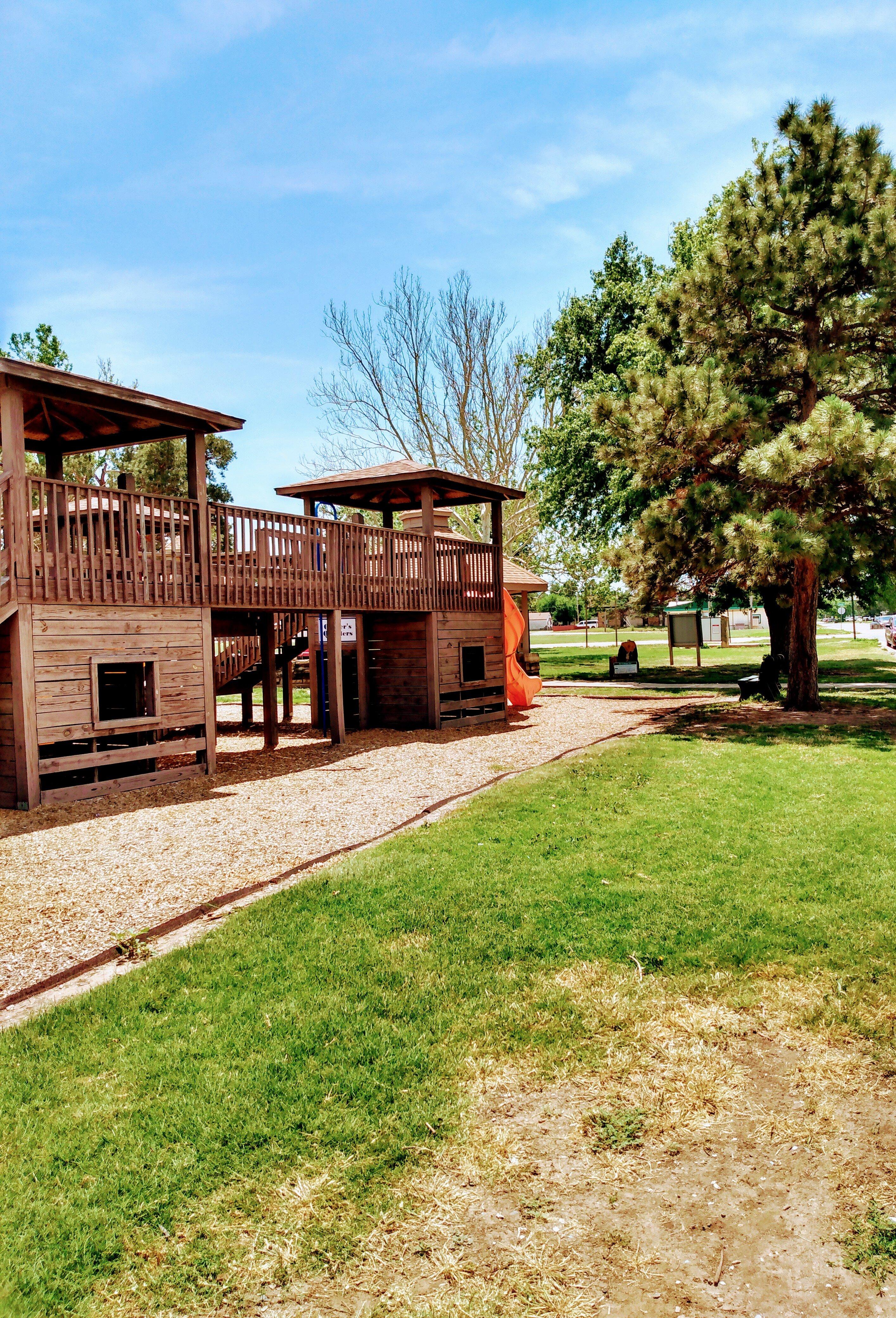
One notable spot in Rozel is the Rozel City Park, a local gathering place that hosts community events and provides a peaceful setting for picnics and leisurely strolls. The park is a testament to the city's commitment to maintaining communal spaces where residents and visitors alike can enjoy the outdoors. History buffs might also appreciate the stories of pioneer settlers that permeate the area, offering a historical context that enriches any visit. While Rozel might be understated in its offerings, its authenticity and serene environment provide a unique perspective on life in the heartland of the United States.
Nearby cities include: Keysville, KS, Browns Grove, KS, Burdett, KS, Sawmill, KS, Pleasant Ridge, KS, Conkling, KS, Shiley, KS, Garfield, KS, Pawnee, KS, Santa Fe, KS.
Places in Rozel
Dine and drink
Eat and drink your way through town.
Can't-miss activities
Culture, natural beauty, and plain old fun.
Places to stay
Hang your (vacation) hat in a place that’s just your style.
Advertisement


