Olpe, KS
Advertisement
Olpe, KS Map
Olpe is a US city in Lyon County in the state of Kansas. Located at the longitude and latitude of -96.169400, 38.261900 and situated at an elevation of 365 meters. In the 2020 United States Census, Olpe, KS had a population of 519 people. Olpe is in the Central Standard Time timezone at Coordinated Universal Time (UTC) -6. Find directions to Olpe, KS, browse local businesses, landmarks, get current traffic estimates, road conditions, and more.
Olpe, located in the state of Kansas, is a small town known for its tight-knit community and rural charm. This quaint locale is particularly famous for its annual Olpe Downhome Festival, which draws locals and visitors alike with its parade, live music, and a variety of family-friendly activities. The town's rich history is reflected in its longstanding establishments like the Olpe Chicken House, a beloved restaurant known for its homestyle cooking and welcoming atmosphere. This eatery has become a staple in the community, offering a taste of local hospitality and tradition.
Visitors to Olpe can enjoy the serene beauty of the Kansas landscape, especially at the nearby Olpe Lake, which offers opportunities for fishing, picnicking, and leisurely walks. The town also features several parks and recreational facilities that provide a backdrop for community events and outdoor activities. While Olpe may not boast the hustle and bustle of larger cities, its charm lies in its simplicity and the warmth of its residents, making it an inviting stop for those exploring the heartland of America.
Nearby cities include: Elmendaro, KS, Emporia, KS, Madison, KS, Emporia, KS, Madison, KS, Pike, KS, Hartford, KS, Neosho Rapids, KS, Shell Rock, KS, Lincoln, KS.
Places in Olpe
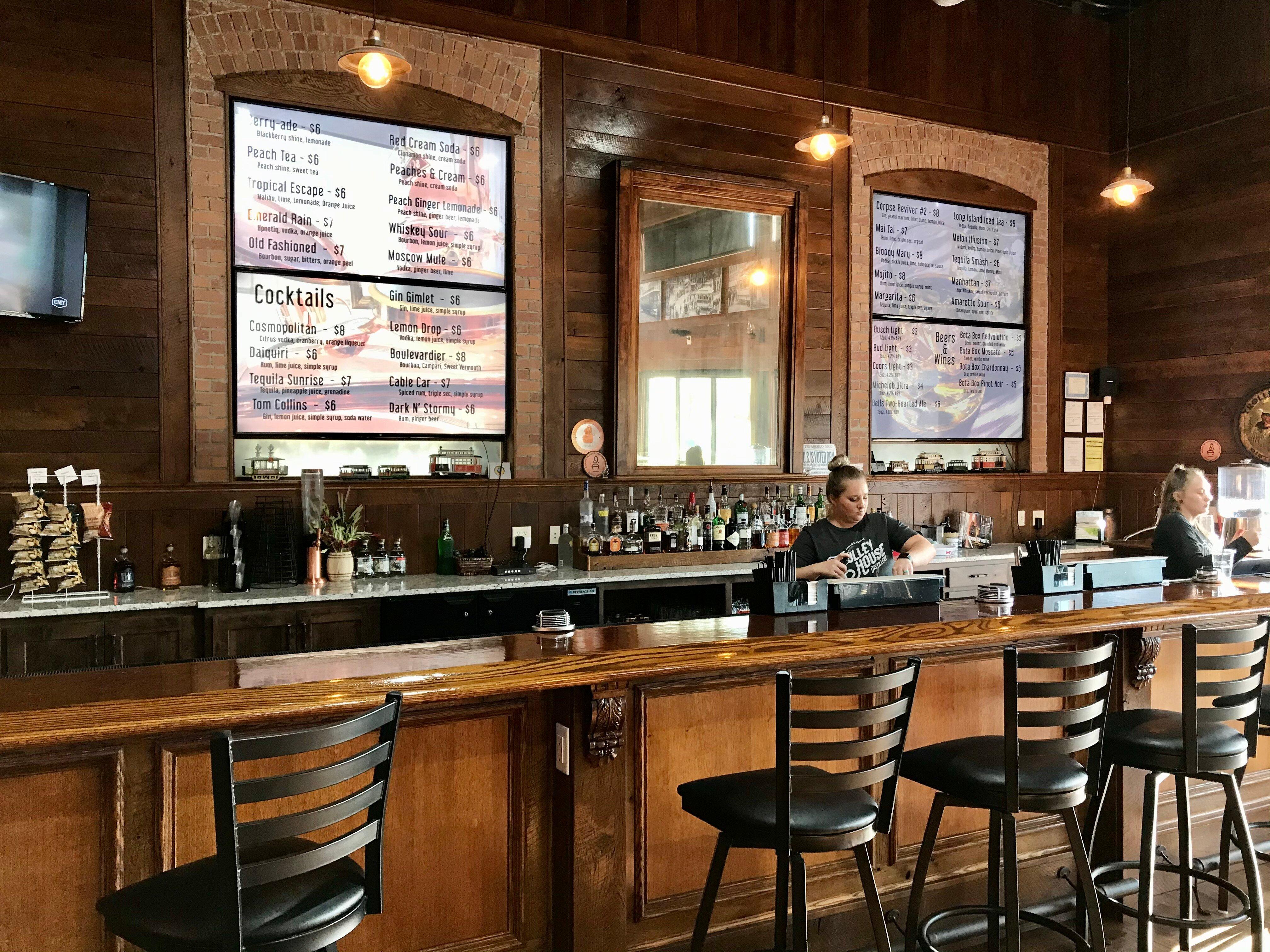
Dine and drink
Eat and drink your way through town.
Can't-miss activities
Culture, natural beauty, and plain old fun.
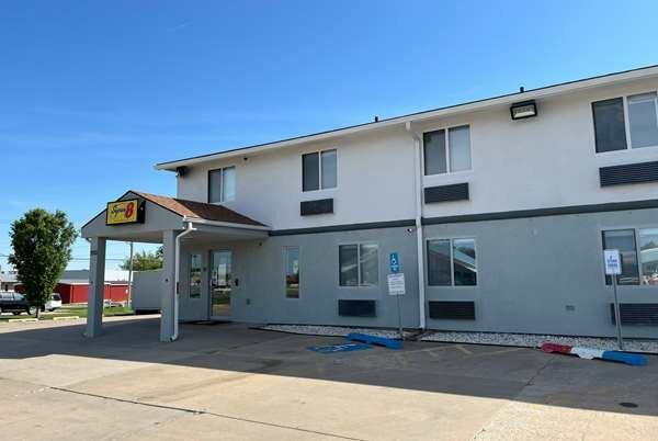
Places to stay
Hang your (vacation) hat in a place that’s just your style.
Advertisement


