Mahaska, KS
Advertisement
Mahaska, KS Map
Mahaska is a US city in Washington County in the state of Kansas. Located at the longitude and latitude of -97.352220, 39.986940 and situated at an elevation of 487 meters. In the 2020 United States Census, Mahaska, KS had a population of 46 people. Mahaska is in the Central Standard Time timezone at Coordinated Universal Time (UTC) -6. Find directions to Mahaska, KS, browse local businesses, landmarks, get current traffic estimates, road conditions, and more.
Mahaska, Kansas, is a small city that embodies the charm and tranquility of rural America. Known for its tight-knit community and serene landscapes, Mahaska offers a glimpse into the heartland's rich agricultural heritage. While the city itself may not boast a bustling urban scene, its appeal lies in its simplicity and the warmth of its residents. Visitors often appreciate the peaceful atmosphere and the opportunity to explore the surrounding countryside, which is dotted with family-owned farms and open fields.
Historically, Mahaska has roots that trace back to the late 19th century, a period marked by the westward expansion and the establishment of small towns across the Midwest. Although the city does not host major tourist attractions, it serves as a perfect starting point for those interested in exploring the broader region's historical sites and natural beauty. The community often gathers for local events that celebrate its agricultural roots, making it an ideal location for experiencing authentic Kansas culture.
Nearby cities include: Narka, KS, Reynolds, NE, Hubbell, NE, Haddam, KS, Lowe, KS, Farmington, KS, Haddam, KS, Rose Creek, KS, Munden, KS, Gilead, NE.
Places in Mahaska
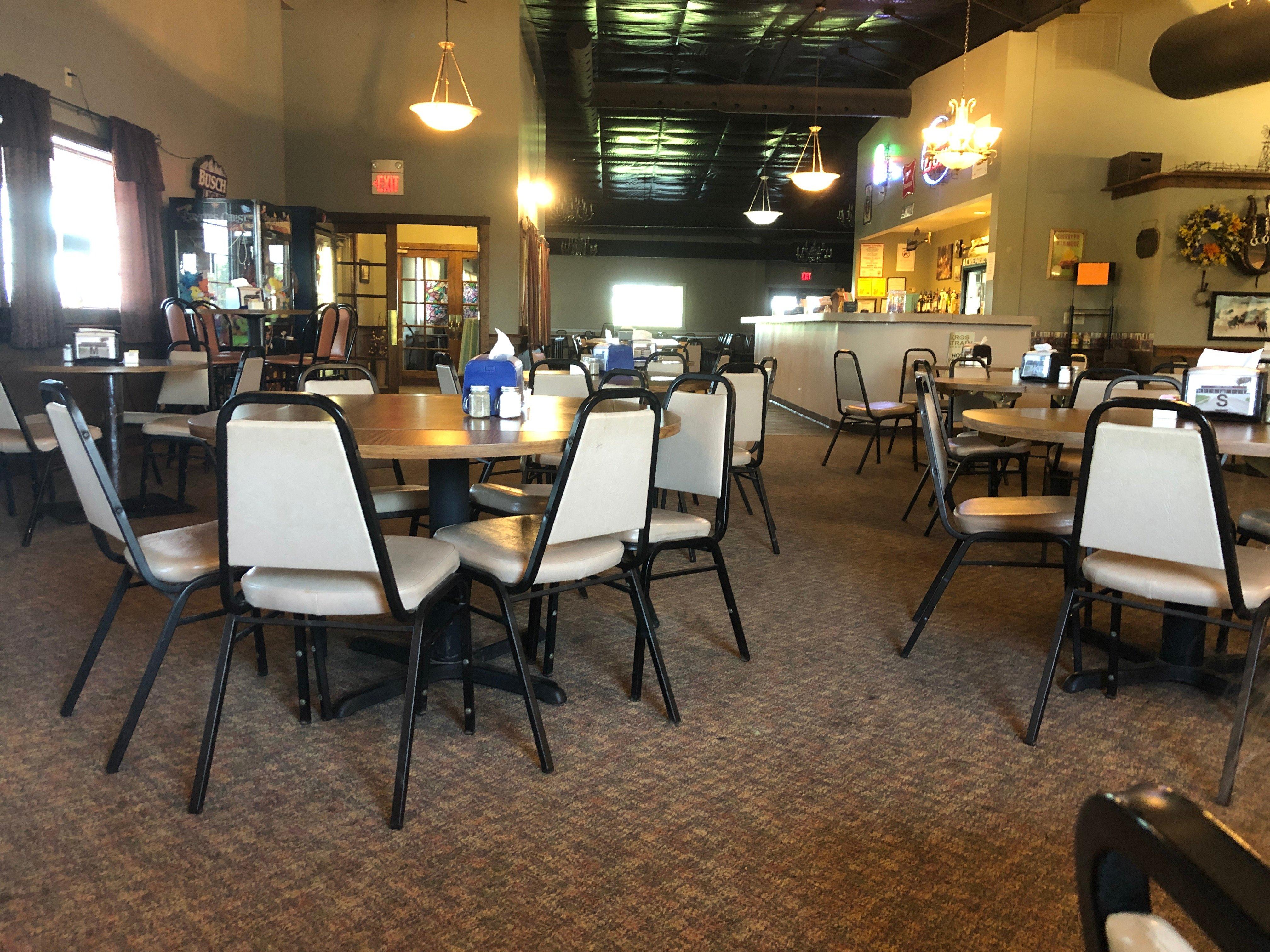
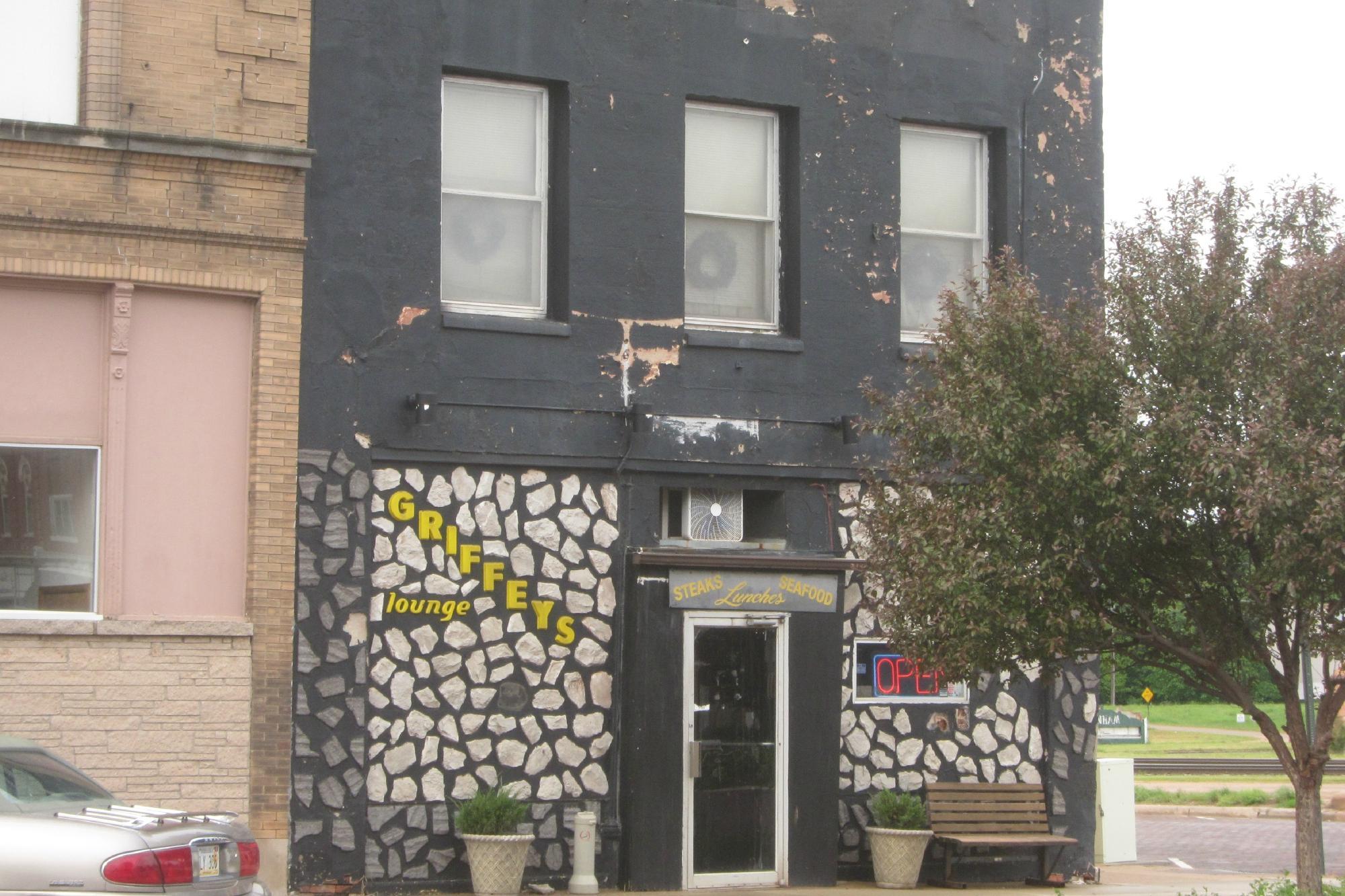
Dine and drink
Eat and drink your way through town.
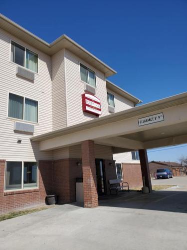
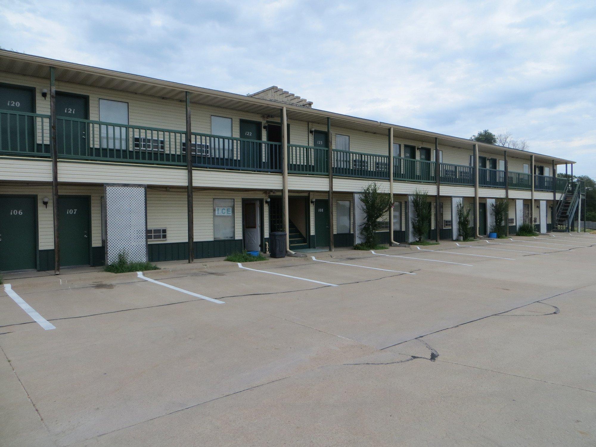
Places to stay
Hang your (vacation) hat in a place that’s just your style.
Advertisement


