Columbus, KS
Advertisement
Columbus, KS Map
Columbus is a US city in Cherokee County in the state of Kansas. Located at the longitude and latitude of -94.840800, 37.171400 and situated at an elevation of 278 meters. In the 2020 United States Census, Columbus, KS had a population of 2,929 people. Columbus is in the Central Standard Time timezone at Coordinated Universal Time (UTC) -6. Find directions to Columbus, KS, browse local businesses, landmarks, get current traffic estimates, road conditions, and more.
Columbus, Kansas, is a small city with a rich historical background and a welcoming community atmosphere. Known for its quaint charm and historical significance, Columbus offers visitors a glimpse into the past with its well-preserved architecture and local museums. The city's history is deeply rooted in the mining industry, which played a pivotal role in its development during the late 19th and early 20th centuries. This history is celebrated and preserved at local venues, providing an educational experience for those interested in the region's industrial heritage.
Among the popular places in Columbus, the Columbus Museum stands out as a key attraction. It offers a detailed look into the city's past, featuring exhibits on local history and the impact of mining on the area. Visitors can also enjoy outdoor activities at the surrounding parks and recreational areas, which provide opportunities for hiking, picnicking, and enjoying the natural beauty of Kansas. Columbus's small-town charm, coupled with its historical significance, makes it a unique destination for those exploring the heartland of America.
Nearby cities include: Crawford, KS, Salamanca, KS, Ross, KS, Scammon, KS, Mineral, KS, Crestline, KS, Roseland, KS, Spring Valley, KS, Lyon, KS, West Mineral, KS.
Places in Columbus
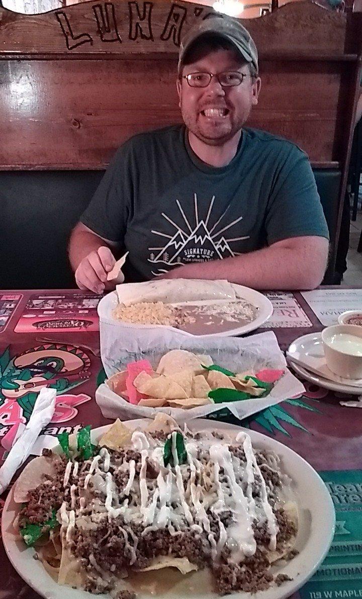
Dine and drink
Eat and drink your way through town.
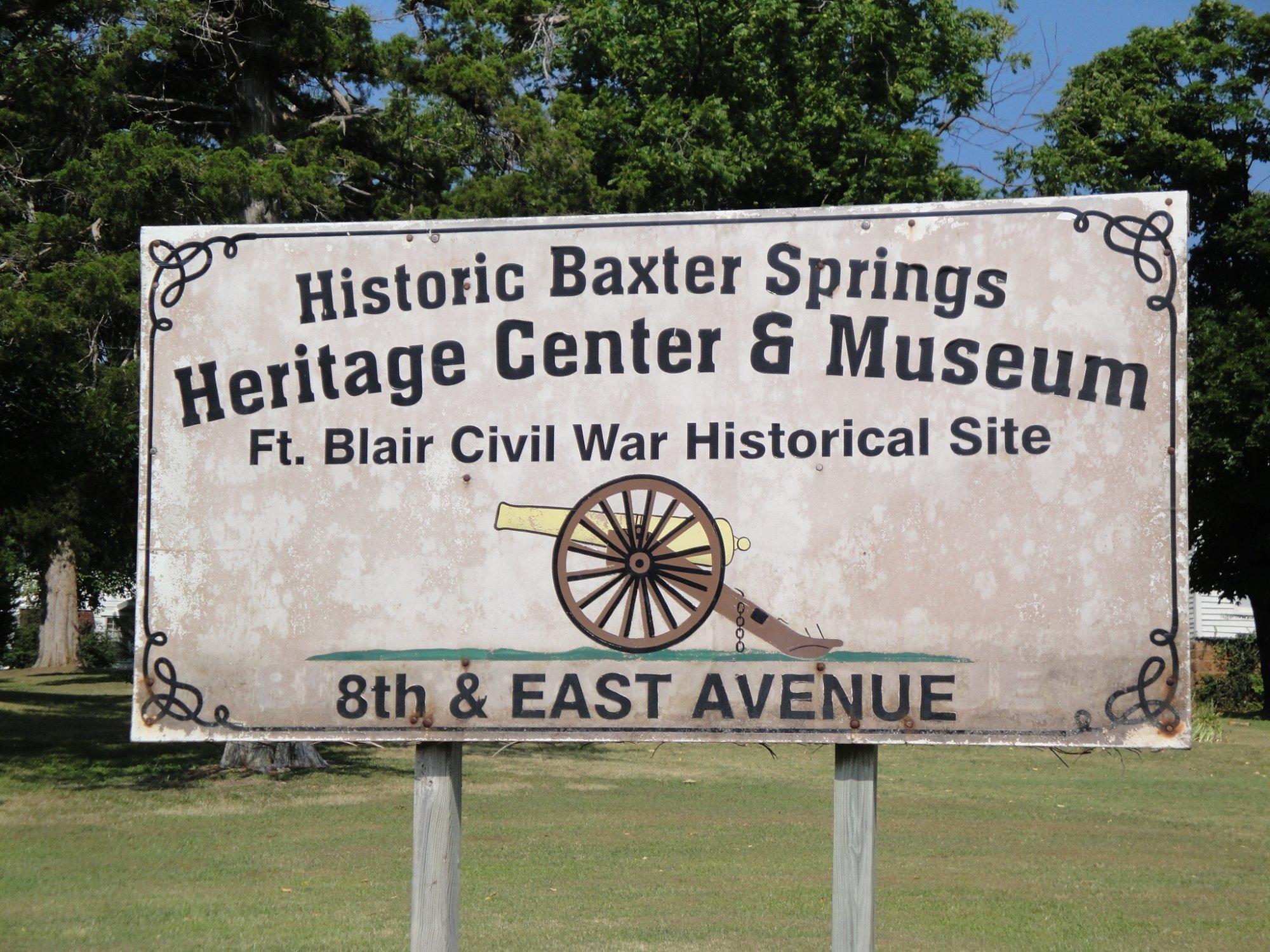
Can't-miss activities
Culture, natural beauty, and plain old fun.
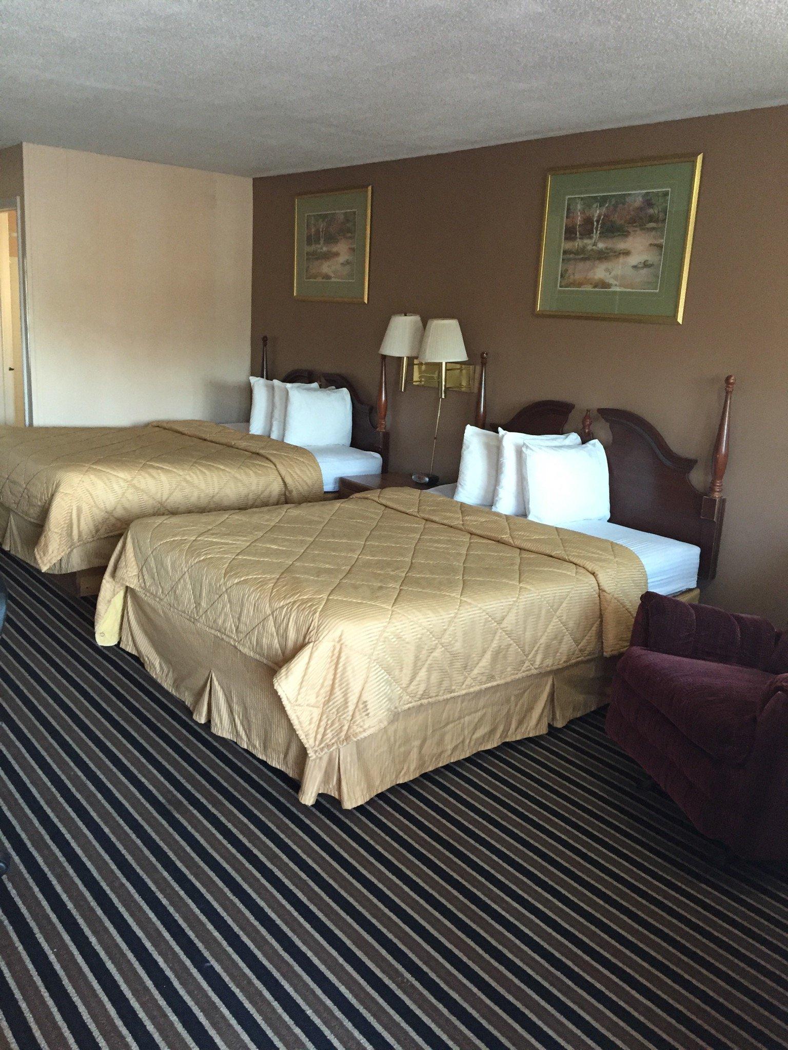
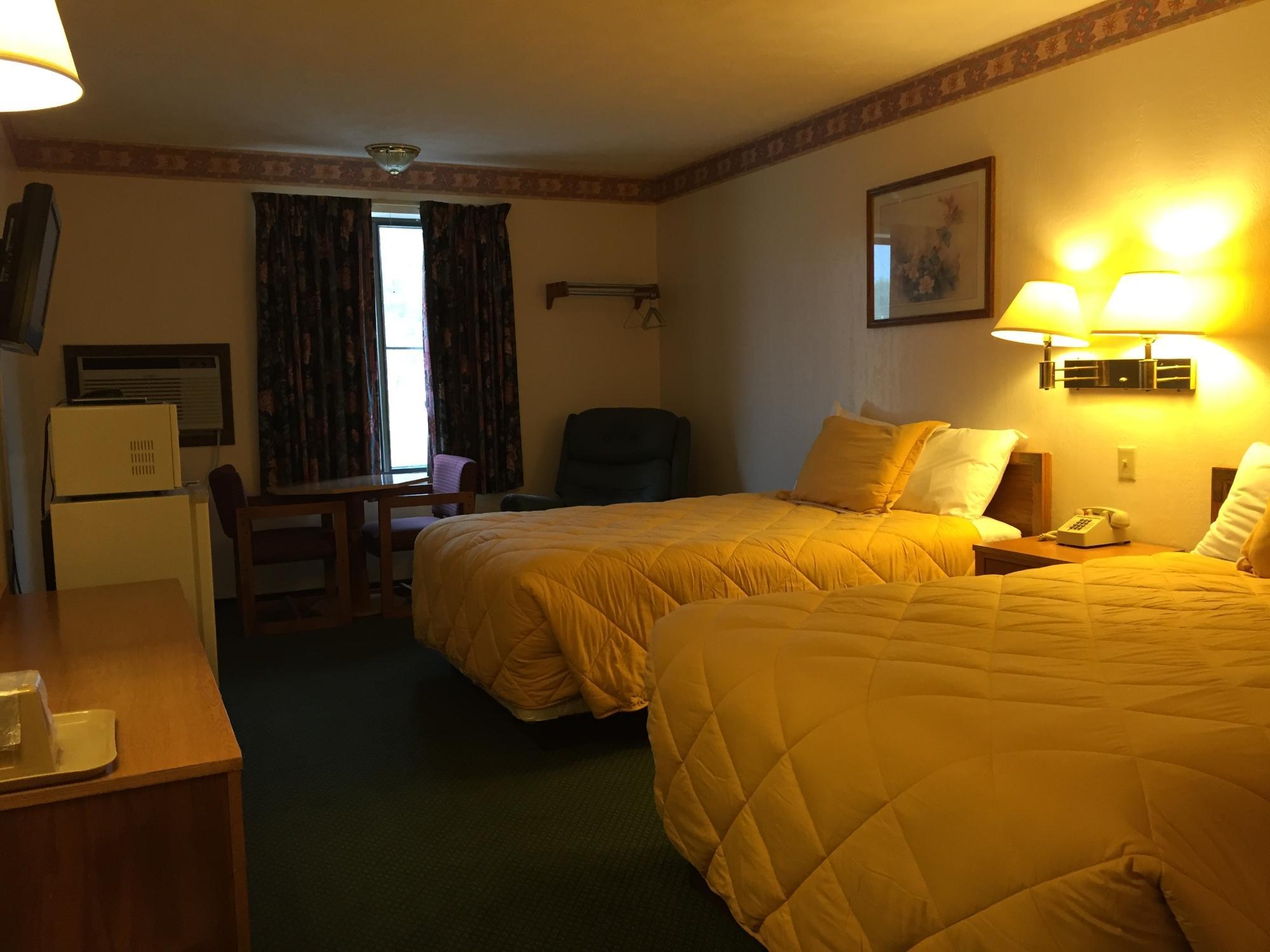
Places to stay
Hang your (vacation) hat in a place that’s just your style.
Advertisement


