St. Ansgar, IA
Advertisement
St. Ansgar, IA Map
St. Ansgar is a US city in Mitchell County in the state of Iowa. Located at the longitude and latitude of -92.919444, 43.378889 and situated at an elevation of 357 meters. In the 2020 United States Census, St. Ansgar, IA had a population of 1,160 people. St. Ansgar is in the Central Standard Time timezone at Coordinated Universal Time (UTC) -6. Find directions to St. Ansgar, IA, browse local businesses, landmarks, get current traffic estimates, road conditions, and more.
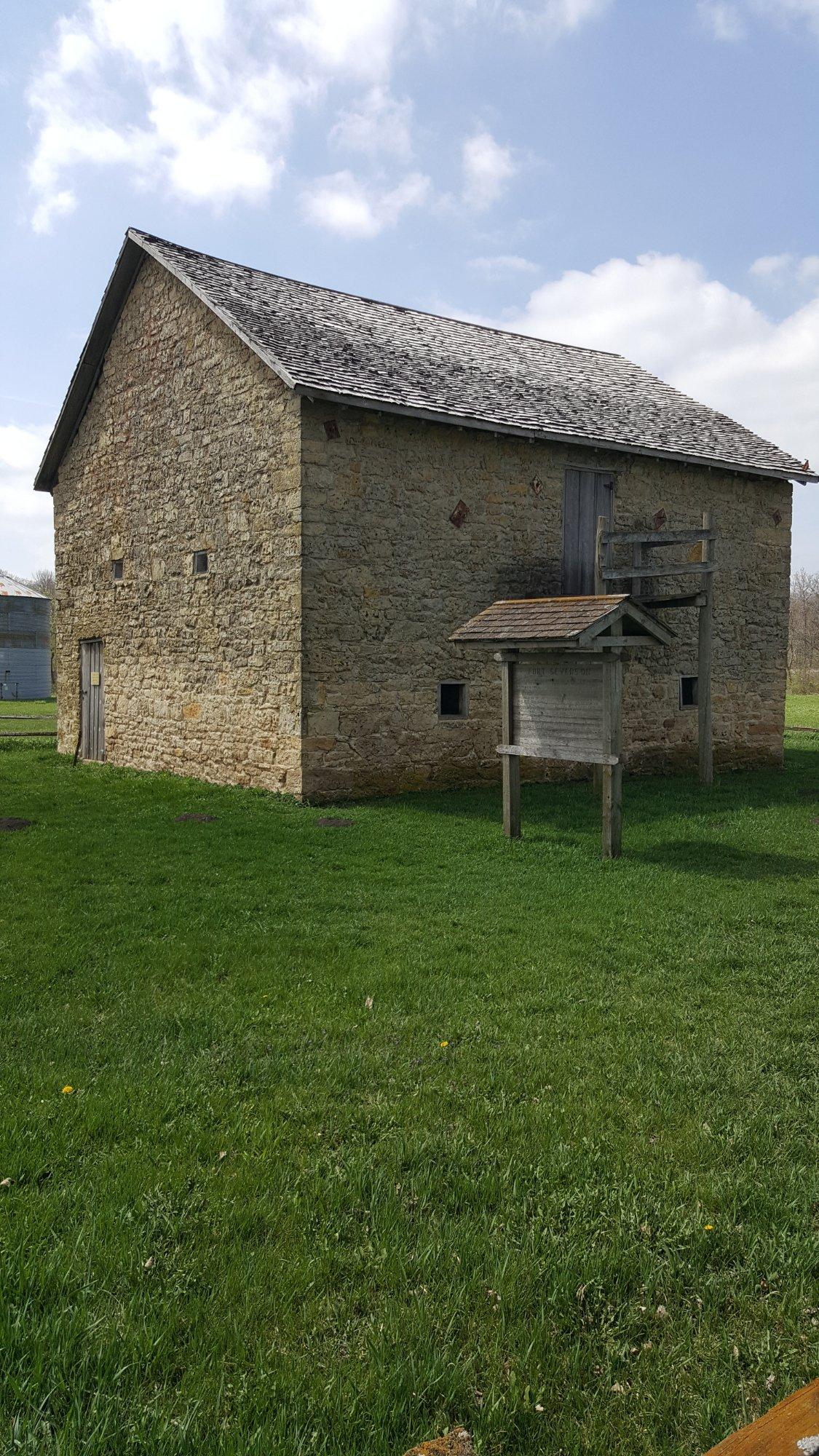
St. Ansgar, located in Iowa, is a charming city renowned for its rich historical background and tight-knit community atmosphere. The city is named after a Danish saint, reflecting its early settlers' heritage, and it maintains a quaint, small-town feel while offering a glimpse into its storied past. Visitors can explore the St. Ansgar Heritage Association Museum, which showcases artifacts and exhibits detailing the area's history. The city is also known for its well-preserved architecture, including the historic First Lutheran Church, which adds to its picturesque appeal.
Beyond its historical significance, St. Ansgar is celebrated for its vibrant local culture and natural beauty. The city is home to several parks and recreational areas, such as the Clausen Park, which provides an ideal setting for leisurely strolls or community events. For those interested in unique local experiences, the annual St. Ansgar Fall Festival draws visitors with its array of crafts, food, and entertainment. The city's commitment to preserving its heritage while fostering a sense of community makes it a noteworthy destination in Iowa.
Nearby cities include: Toeterville, IA, Mitchell, IA, Carpenter, IA, Stacyville, IA, Grafton, IA, Osage, IA, Lyle, MN, Little Cedar, IA, Nevada, MN, Lyle, MN.
Places in St Ansgar
Places to stay
Hang your (vacation) hat in a place that’s just your style.
Advertisement


