Sageville, IA
Advertisement
Sageville, IA Map
Sageville is a US city in Dubuque County in the state of Iowa. Located at the longitude and latitude of -90.712200, 42.552800 and situated at an elevation of 189 meters. In the 2020 United States Census, Sageville, IA had a population of 95 people. Sageville is in the Central Standard Time timezone at Coordinated Universal Time (UTC) -6. Find directions to Sageville, IA, browse local businesses, landmarks, get current traffic estimates, road conditions, and more.
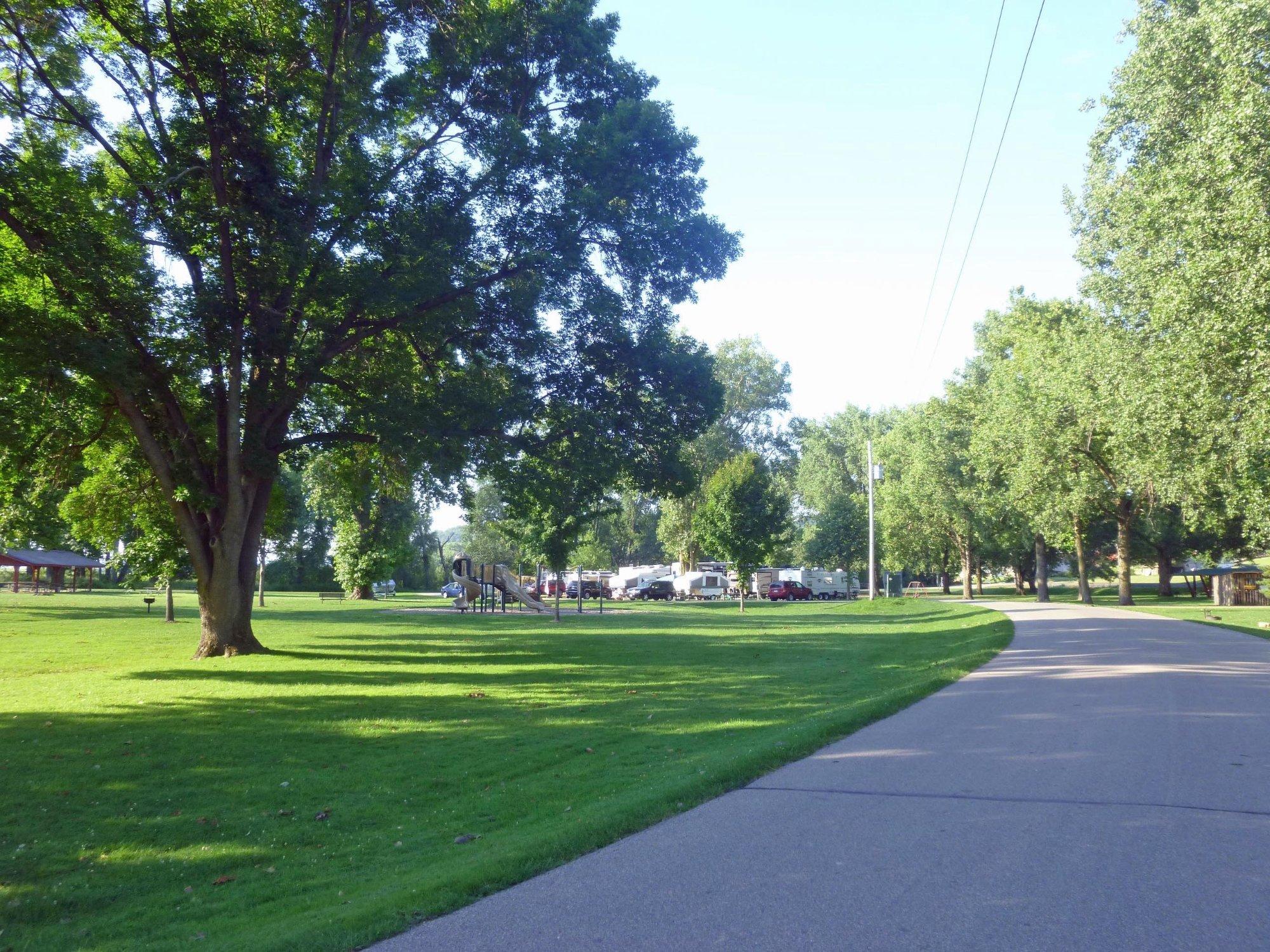
Sageville, Iowa, is a quaint city that offers a serene slice of Midwestern life, characterized by its peaceful rural landscapes and welcoming community atmosphere. Known for its charming small-town vibe, Sageville is a place where visitors can experience a slower pace of life and enjoy the simplicity of its natural surroundings. The city is home to several picturesque parks and recreational areas, making it a great destination for those who appreciate outdoor activities such as hiking and picnicking.
Historically, Sageville has roots that trace back to the early settlement days of Iowa, reflecting the agricultural heritage that continues to influence the area. Visitors can explore local landmarks that tell the story of its past, while also enjoying community events that highlight the city’s cultural vibrancy. Although it may not boast large-scale tourist attractions, Sageville offers a genuine and authentic Iowa experience, making it a worthwhile stop for those exploring the heartland of America.
Nearby cities include: Durango, IA, Dubuque, IA, Asbury, IA, Sherrill, IA, East Dubuque, IL, Kieler, WI, Center, IA, Dunleith, IL, Dickeyville, WI, Centralia, IA.
Places in Sageville
Dine and drink
Eat and drink your way through town.
Can't-miss activities
Culture, natural beauty, and plain old fun.
Places to stay
Hang your (vacation) hat in a place that’s just your style.
Advertisement


