


Rippey, IA
Advertisement
Rippey, IA Map
Rippey is a US city in Greene County in the state of Iowa. Located at the longitude and latitude of -94.201111, 41.933889 and situated at an elevation of 327 meters. In the 2020 United States Census, Rippey, IA had a population of 220 people. Rippey is in the Central Standard Time timezone at Coordinated Universal Time (UTC) -6. Find directions to Rippey, IA, browse local businesses, landmarks, get current traffic estimates, road conditions, and more.
Rippey, a small city in Iowa, is known for its charming rural atmosphere and a strong sense of community. One of the most notable events in Rippey is the annual BRR (Bike Ride to Rippey), which draws cycling enthusiasts from across the region for a chilly winter ride. This event highlights the town's welcoming spirit and its residents' enthusiasm for outdoor activities. Rippey's history is deeply rooted in agriculture, and the local landscape is dotted with picturesque farms that have been family-owned for generations, offering a glimpse into the traditional lifestyle of the region.
Visitors to Rippey can explore its small-town charm through local spots like the Rippey Public Library, which serves as a community hub and a testament to the town's commitment to education and literacy. The Rippey United Methodist Church, another cornerstone of the community, reflects the town's historical and cultural heritage. While Rippey might not boast a plethora of tourist attractions, its genuine and welcoming atmosphere, coupled with its community-focused events, make it a unique destination for those looking to experience the heart of rural Iowa.
Nearby cities include: Berkley, IA, Dawson, IA, Grand Junction, IA, Jamaica, IA, Beaver, IA, Perry, IA, Spring Valley, IA, Jefferson, IA, Peoples, IA, Ogden, IA.
Places in Rippey
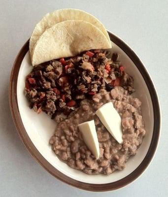
Dine and drink
Eat and drink your way through town.


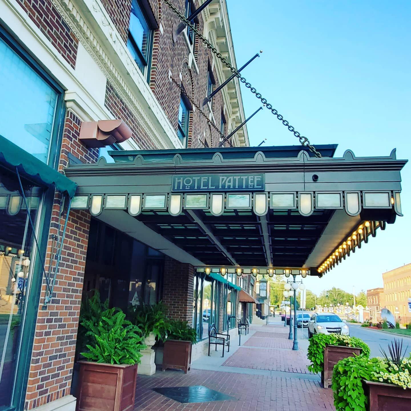
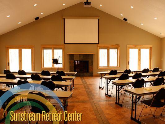
Places to stay
Hang your (vacation) hat in a place that’s just your style.


Advertisement