Popejoy, IA
Advertisement
Popejoy, IA Map
Popejoy is a US city in Franklin County in the state of Iowa. Located at the longitude and latitude of -93.426944, 42.594167 and situated at an elevation of 353 meters. In the 2020 United States Census, Popejoy, IA had a population of 77 people. Popejoy is in the Central Standard Time timezone at Coordinated Universal Time (UTC) -6. Find directions to Popejoy, IA, browse local businesses, landmarks, get current traffic estimates, road conditions, and more.
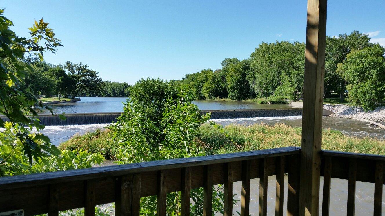
Popejoy, Iowa, offers a quintessential small-town experience characterized by its rural charm and tight-knit community. While it may not be widely known for any major tourist attractions, the town embodies the peacefulness and simplicity of Midwestern life. Visitors and residents alike appreciate the surrounding natural landscapes, which provide a serene backdrop for outdoor activities such as hiking and birdwatching. The town's history, like many in this region, is rooted in agriculture, and this heritage is still evident today in its community events and local gatherings.
One of the highlights of Popejoy is its community spaces, where locals often convene for events and celebrations. Although the town itself is small, its community center and local parks are popular spots for socializing and recreation. The town's events calendar frequently features seasonal activities that bring the community together, reflecting the shared values and history of the residents. Popejoy’s charm lies in its simplicity and the genuine hospitality of its people, making it a peaceful stop for those traveling through Iowa's countryside.
Nearby cities include: Oakland, IA, Dows, IA, Alden, IA, Williams, IA, Bradford, IA, Iowa Falls, IA, Coulter, IA, Galt, IA, Rowan, IA, Latimer, IA.
Places in Popejoy
Dine and drink
Eat and drink your way through town.
Can't-miss activities
Culture, natural beauty, and plain old fun.
Places to stay
Hang your (vacation) hat in a place that’s just your style.
Advertisement


