Pella, IA
Advertisement
Pella, IA Map
Pella is a US city in Marion County in the state of Iowa. Located at the longitude and latitude of -92.917222, 41.407222 and situated at an elevation of 270 meters. In the 2020 United States Census, Pella, IA had a population of 10,464 people. Pella is in the Central Standard Time timezone at Coordinated Universal Time (UTC) -6. Find directions to Pella, IA, browse local businesses, landmarks, get current traffic estimates, road conditions, and more.
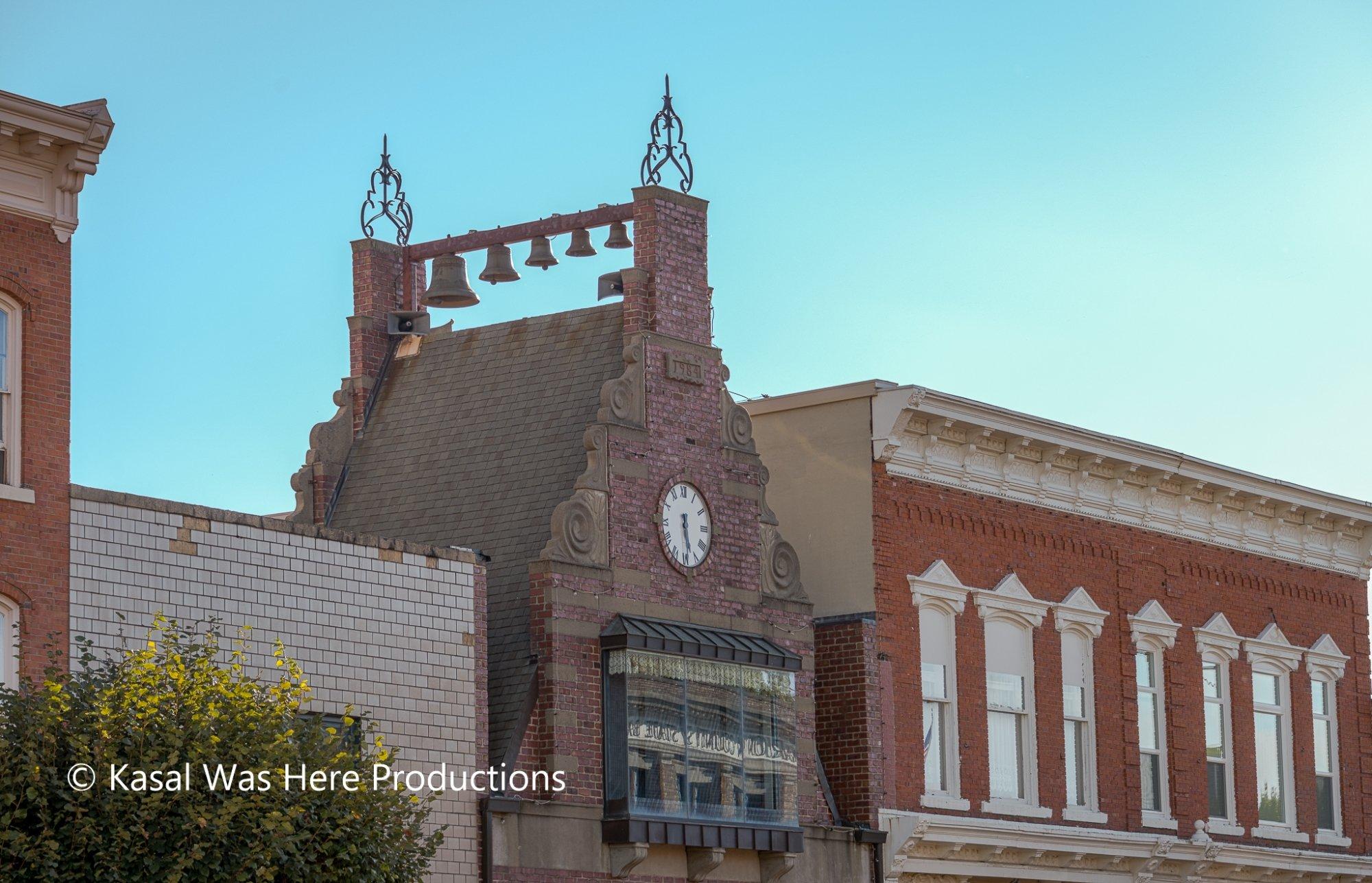
Pella, Iowa, is renowned for its rich Dutch heritage, which is celebrated vibrantly throughout the city. Founded in 1847 by Dutch immigrants, Pella has maintained its cultural roots, most notably showcased in the annual Tulip Time Festival, where the streets are adorned with colorful tulips and residents don traditional Dutch attire. This festival attracts visitors from all over, eager to experience the lively parades, performances, and authentic Dutch crafts and cuisine. Pella's Dutch influence is evident in its charming architecture, with structures like the Vermeer Mill, the tallest working windmill in the United States, providing a picturesque nod to the Netherlands.
Visitors to Pella can explore a variety of attractions that celebrate its unique heritage and community spirit. The Historical Village, Museum, and Vermeer Windmill offer insights into the city's past, with exhibits that span from the time of the early settlers to the modern day. The Molengracht Plaza is a popular spot, featuring a canal reminiscent of those found in Holland, surrounded by shops and eateries that offer a taste of local flavors. For those seeking outdoor activities, Lake Red Rock, Iowa's largest lake, is nearby, offering opportunities for fishing, boating, and hiking. Pella's blend of history, culture, and scenic beauty makes it a distinctive destination in the heart of Iowa.
Nearby cities include: Harvey, IA, Leighton, IA, Knoxville, IA, Sully, IA, Monroe, IA, Reasnor, IA, Lynnville, IA, Bussey, IA, New Sharon, IA, Beacon, IA.
Places in Pella
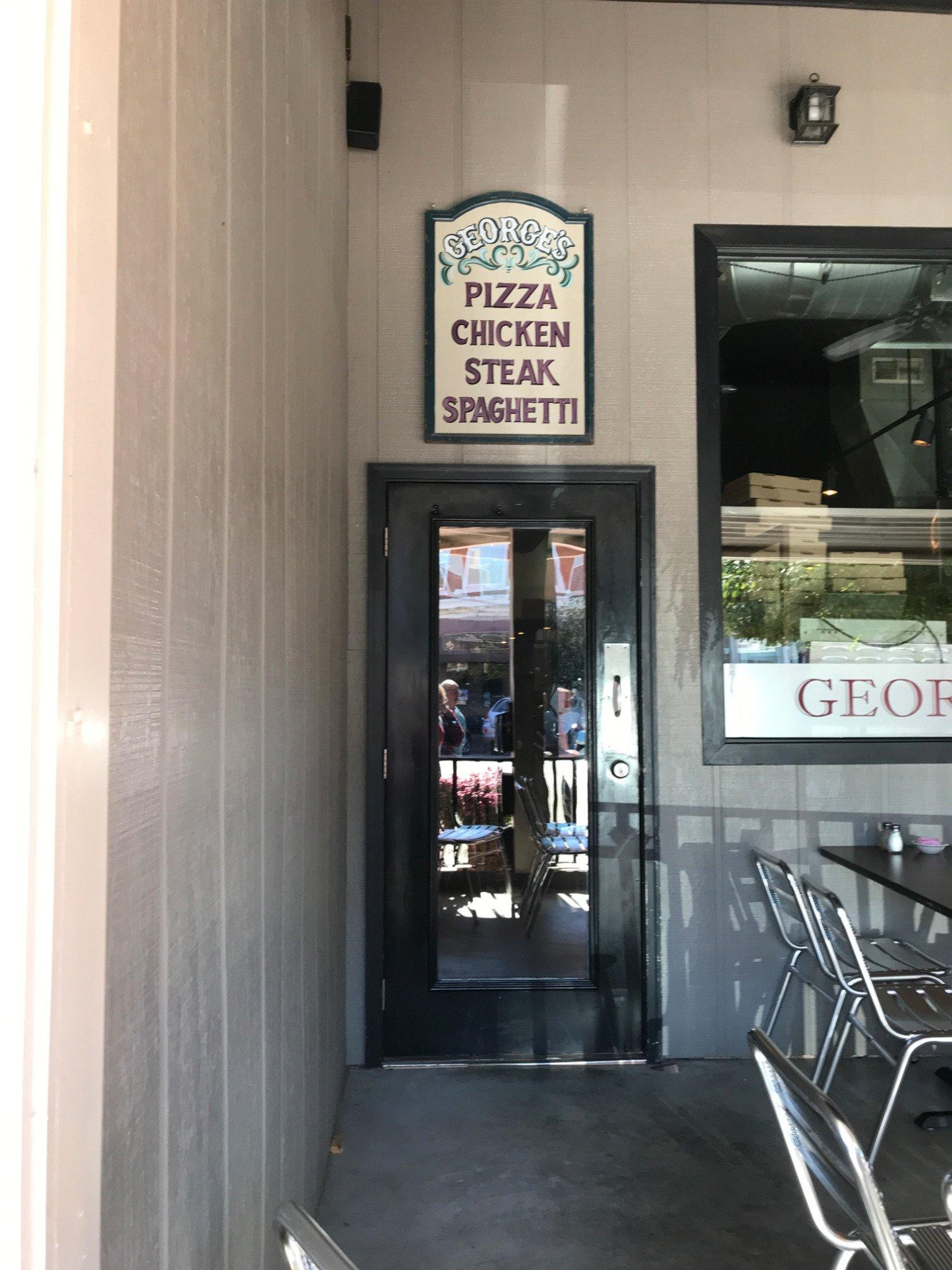
Dine and drink
Eat and drink your way through town.
Can't-miss activities
Culture, natural beauty, and plain old fun.
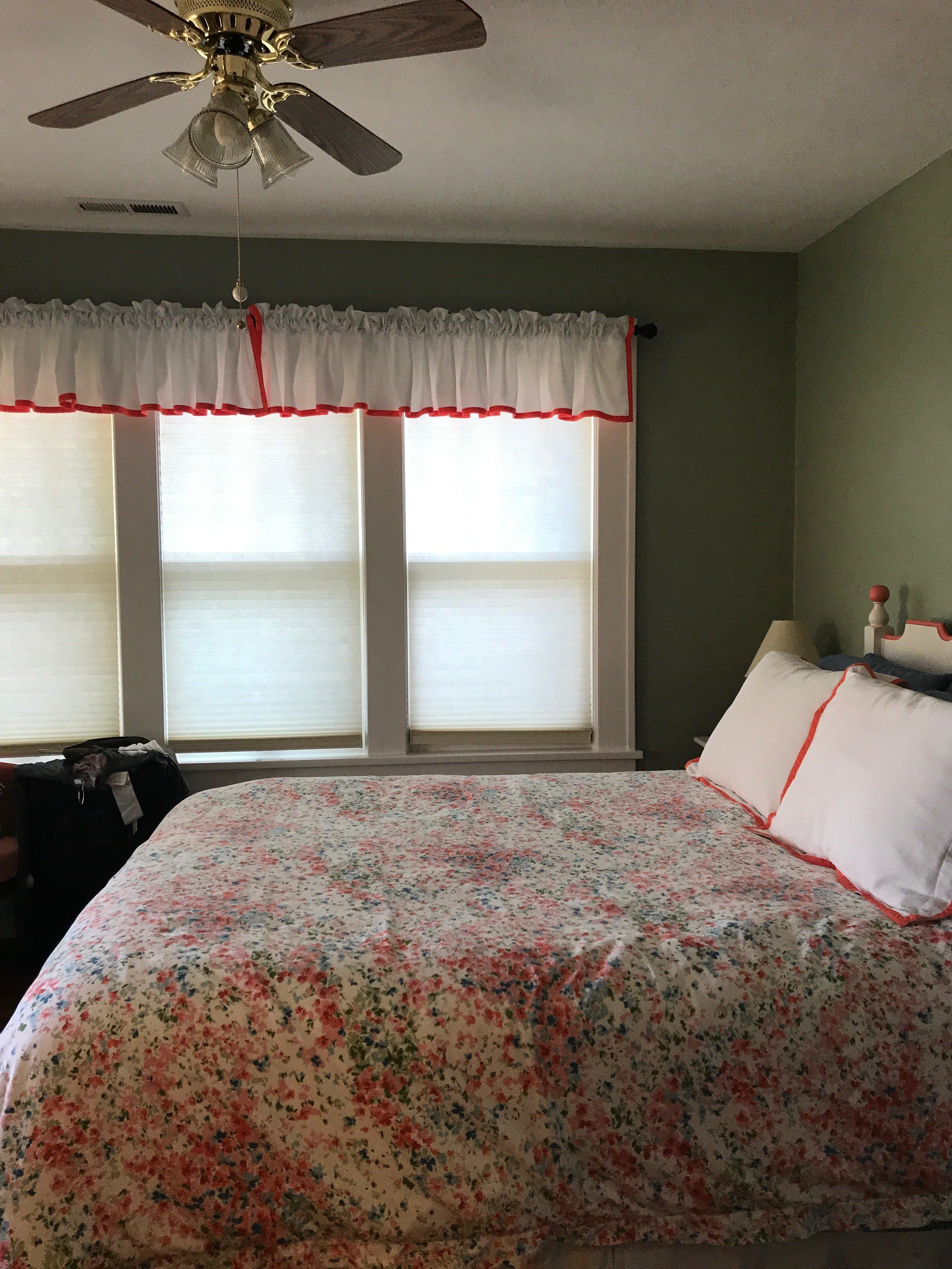
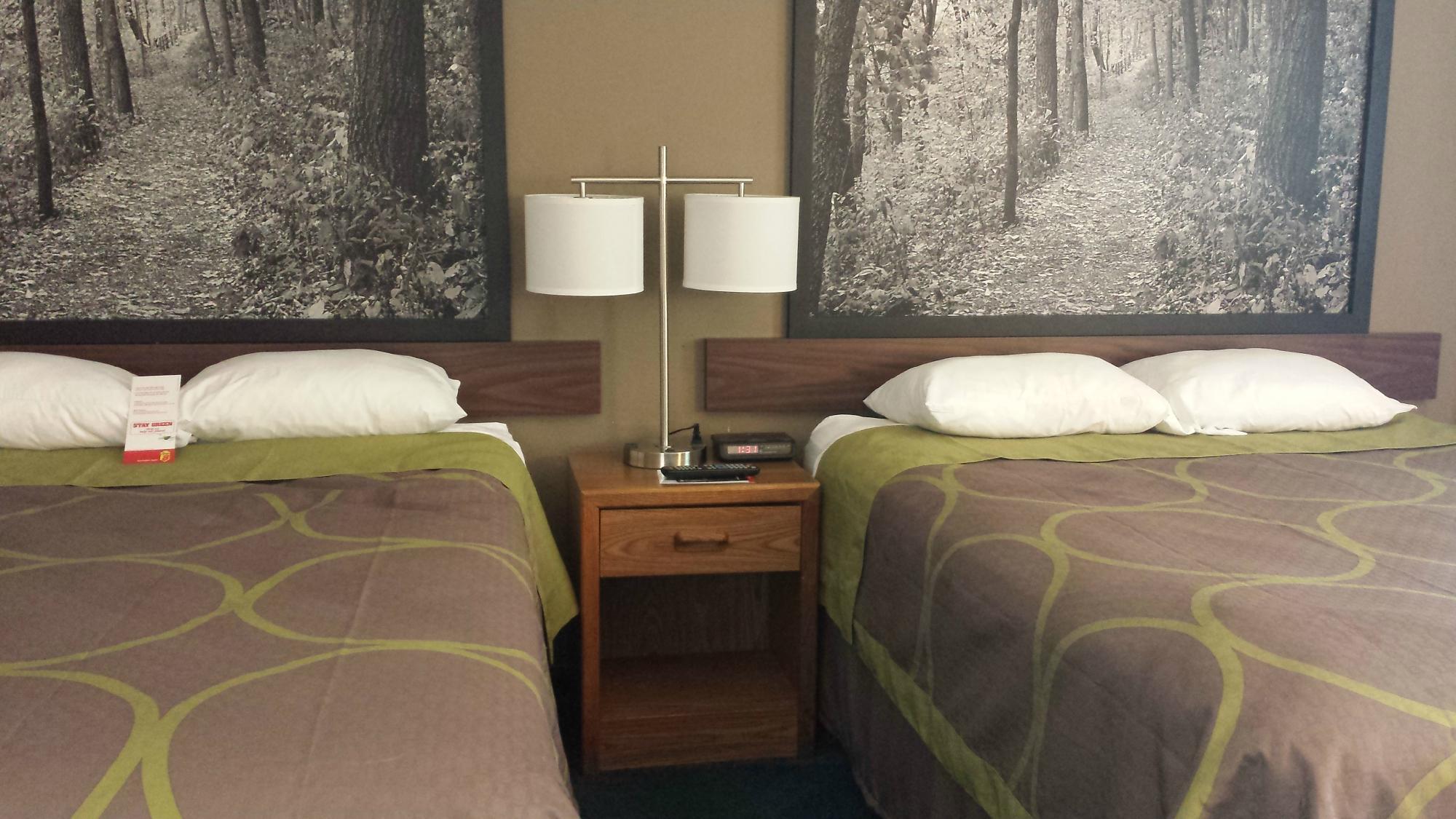
Places to stay
Hang your (vacation) hat in a place that’s just your style.
Advertisement


