Meservey, IA
Advertisement
Meservey, IA Map
Meservey is a US city in Cerro Gordo County in the state of Iowa. Located at the longitude and latitude of -93.476111, 42.913056 and situated at an elevation of 381 meters. In the 2020 United States Census, Meservey, IA had a population of 222 people. Meservey is in the Central Standard Time timezone at Coordinated Universal Time (UTC) -6. Find directions to Meservey, IA, browse local businesses, landmarks, get current traffic estimates, road conditions, and more.
Meservey, located in the heartland of Iowa, is a quintessential small American town that offers a tranquil escape with a touch of historical charm. Known for its strong community spirit and agricultural roots, Meservey provides a glimpse into the rural life of the Midwest. The town's history dates back to the late 19th century, with its founding closely tied to the expansion of the railroad, which played a significant role in its development. Visitors to Meservey can enjoy a leisurely stroll through its quiet streets, where historic buildings tell stories of its past.
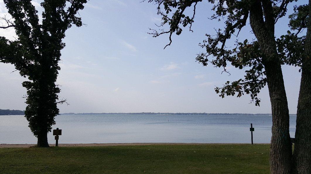
One of the notable spots in Meservey is the local park, which serves as a central gathering place for community events and offers a peaceful setting for picnics and relaxation. The town is also home to a few charming churches that reflect its deep-rooted traditions and community values. While Meservey may not boast an extensive list of attractions, its appeal lies in its simplicity and the warm hospitality of its residents. It's a place where visitors can experience the slower pace of rural life and appreciate the beauty of Iowa's countryside.
Nearby cities include: Grimes, IA, Avery, IA, Thornton, IA, Goodell, IA, Alexander, IA, Belmond, IA, Klemme, IA, Ell, IA, Swaledale, IA, Twin Lake, IA.
Places in Meservey
Dine and drink
Eat and drink your way through town.
Can't-miss activities
Culture, natural beauty, and plain old fun.
Places to stay
Hang your (vacation) hat in a place that’s just your style.
Advertisement


