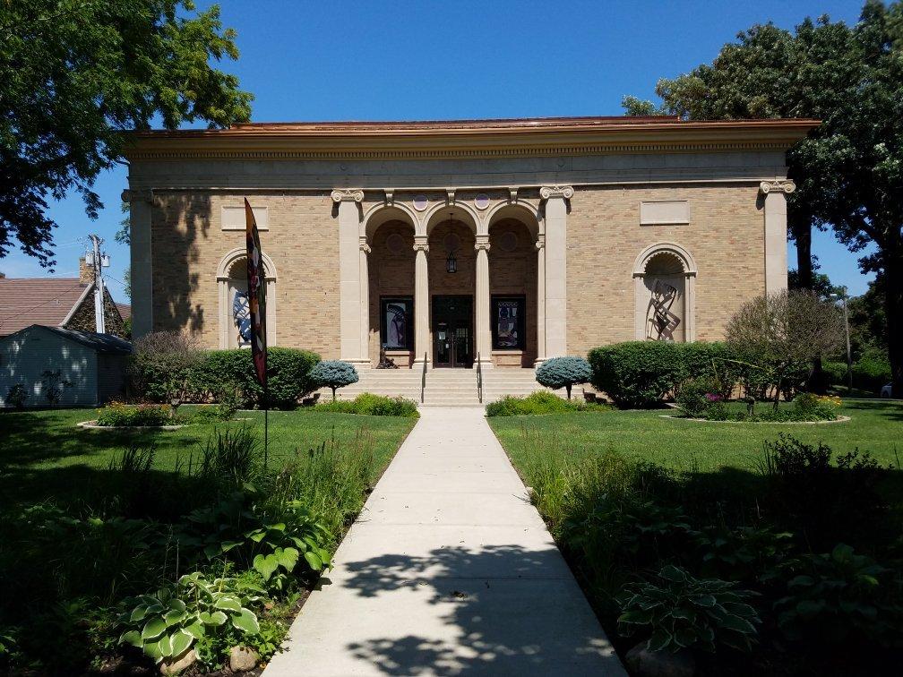
Knierim, IA
Advertisement
Knierim, IA Map
Knierim is a US city in Calhoun County in the state of Iowa. Located at the longitude and latitude of -94.456389, 42.455278 and situated at an elevation of 360 meters. In the 2020 United States Census, Knierim, IA had a population of 53 people. Knierim is in the Central Standard Time timezone at Coordinated Universal Time (UTC) -6. Find directions to Knierim, IA, browse local businesses, landmarks, get current traffic estimates, road conditions, and more.
Knierim, located in the heart of Iowa, is a small city that embodies the quintessential charm of rural America. Known for its agricultural roots, Knierim offers a serene landscape dotted with sprawling fields and classic Midwestern farms. This city is a haven for those looking to experience the tranquility of the countryside and the warm hospitality of its residents. While Knierim may not boast a plethora of tourist attractions, it does offer a slice of genuine Iowan life, making it an ideal spot for visitors interested in agritourism and exploring local farming practices.
Historically, Knierim has been shaped by its agricultural heritage, playing a vital role in the region's grain production. Visitors can explore the surrounding areas to gain a deeper understanding of the agricultural processes that sustain this community. While the city itself is small, its proximity to other attractions in Iowa allows for convenient day trips to explore more of what the state has to offer. In essence, Knierim is perfect for those looking to escape the hustle and bustle of urban life and enjoy the simplicity and beauty of rural Iowa.
Nearby cities include: Greenfield, IA, Somers, IA, Barnum, IA, Manson, IA, Rinard, IA, Moorland, IA, Sherman, IA, Rockwell City, IA, Callender, IA, Clare, IA.
Places in Knierim
Can't-miss activities
Culture, natural beauty, and plain old fun.
Places to stay
Hang your (vacation) hat in a place that’s just your style.
Advertisement


