Fort Dodge, IA
Advertisement
Fort Dodge, IA Map
Fort Dodge is a US city in Webster County in the state of Iowa. Located at the longitude and latitude of -94.180278, 42.506667 and situated at an elevation of 352 meters. In the 2020 United States Census, Fort Dodge, IA had a population of 24,871 people. Fort Dodge is in the Central Standard Time timezone at Coordinated Universal Time (UTC) -6. Find directions to Fort Dodge, IA, browse local businesses, landmarks, get current traffic estimates, road conditions, and more.
Fort Dodge, located in Iowa, is a city with a rich historical tapestry and industrial significance. Known primarily for its gypsum deposits, Fort Dodge has earned the moniker "The Gypsum City," owing to its long-standing history of gypsum mining and production. This industrial heritage is celebrated at the Fort Museum and Frontier Village, which offers visitors a glimpse into the city's frontier past through reconstructed historical buildings and exhibits. The museum also houses the Cardiff Giant, a famous 19th-century hoax that draws curious visitors.
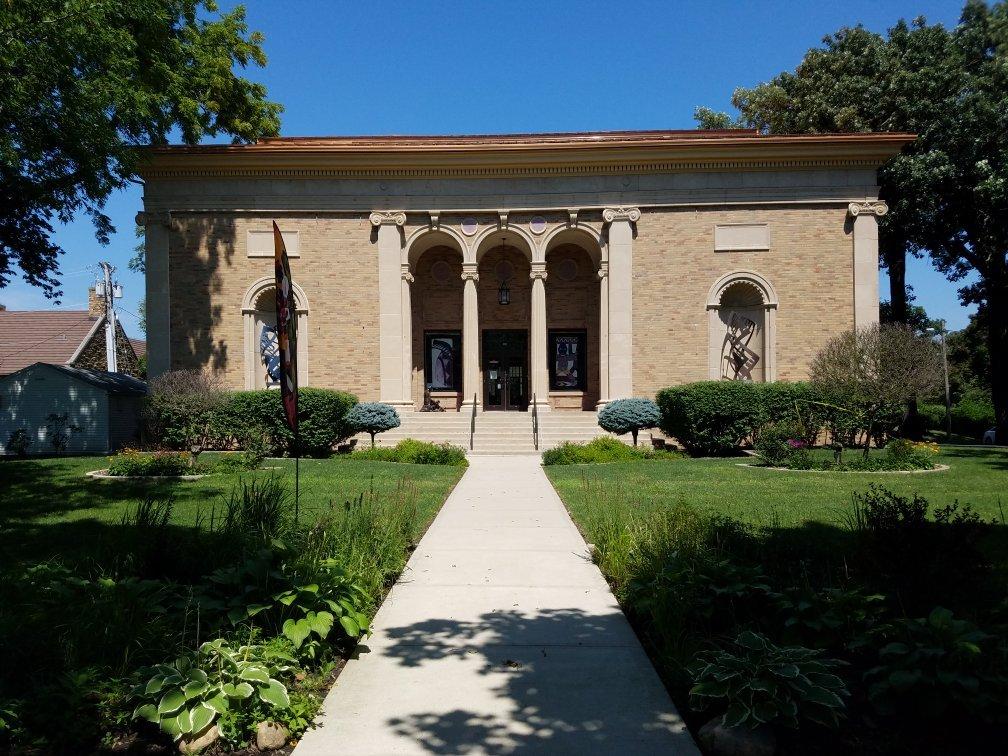
In addition to its industrial roots, Fort Dodge provides several recreational opportunities. The city's natural beauty is showcased at the expansive Kennedy Park, which features a picturesque lake, camping facilities, and a golf course. For those interested in arts and culture, the Blanden Memorial Art Museum is a notable institution, offering an impressive collection of 19th and 20th-century American and European art. Fort Dodge also boasts the annual Dragon Boat Bash, a unique event that combines competitive racing with cultural festivities, drawing participants and spectators from across the region.
Nearby cities include: Otho, IA, Moorland, IA, Badger, IA, Barnum, IA, Duncombe, IA, Clare, IA, Vincent, IA, Callender, IA, Lehigh, IA, Corinth, IA.
Places in Fort Dodge
Dine and drink
Eat and drink your way through town.
Can't-miss activities
Culture, natural beauty, and plain old fun.
Places to stay
Hang your (vacation) hat in a place that’s just your style.
Advertisement


