


Farley, IA
Advertisement
Farley, IA Map
Farley is a US city in Dubuque County in the state of Iowa. Located at the longitude and latitude of -91.009444, 42.443889 and situated at an elevation of 341 meters. In the 2020 United States Census, Farley, IA had a population of 1,766 people. Farley is in the Central Standard Time timezone at Coordinated Universal Time (UTC) -6. Find directions to Farley, IA, browse local businesses, landmarks, get current traffic estimates, road conditions, and more.
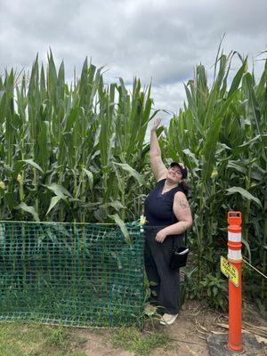
Farley, located in Iowa, is a city that offers a quintessential Midwestern experience, characterized by its close-knit community and picturesque landscapes. Known primarily for its strong agricultural roots, Farley provides visitors with an authentic glimpse into rural life in the heartland of America. The city is home to the Farley Speedway, a popular local attraction that draws racing enthusiasts from across the region. This dirt track hosts thrilling stock car races and is a staple of entertainment in the area, reflecting the community's passion for motorsports.
In addition to its vibrant racing scene, Farley boasts a rich history that can be explored through its charming architecture and local historical sites. The city's development was significantly influenced by the arrival of the railroad in the late 19th century, which played a crucial role in shaping its economic and social landscape. Visitors can enjoy a leisurely stroll through town, taking in the classic Midwestern charm and friendly atmosphere that Farley is known for. Whether you're a motor racing aficionado or simply seeking a peaceful getaway, Farley offers a welcoming retreat with a touch of historical intrigue.
Nearby cities include: Epworth, IA, Dodge, IA, Bankston, IA, Dyersville, IA, Worthington, IA, Cascade, IA, Graf, IA, Peosta, IA, New Vienna, IA, Centralia, IA.
Places in Farley
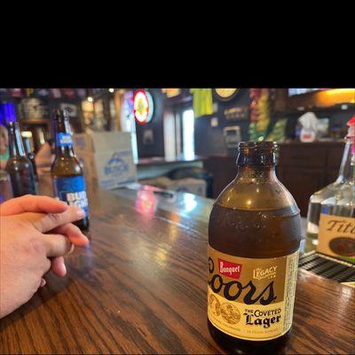
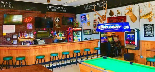
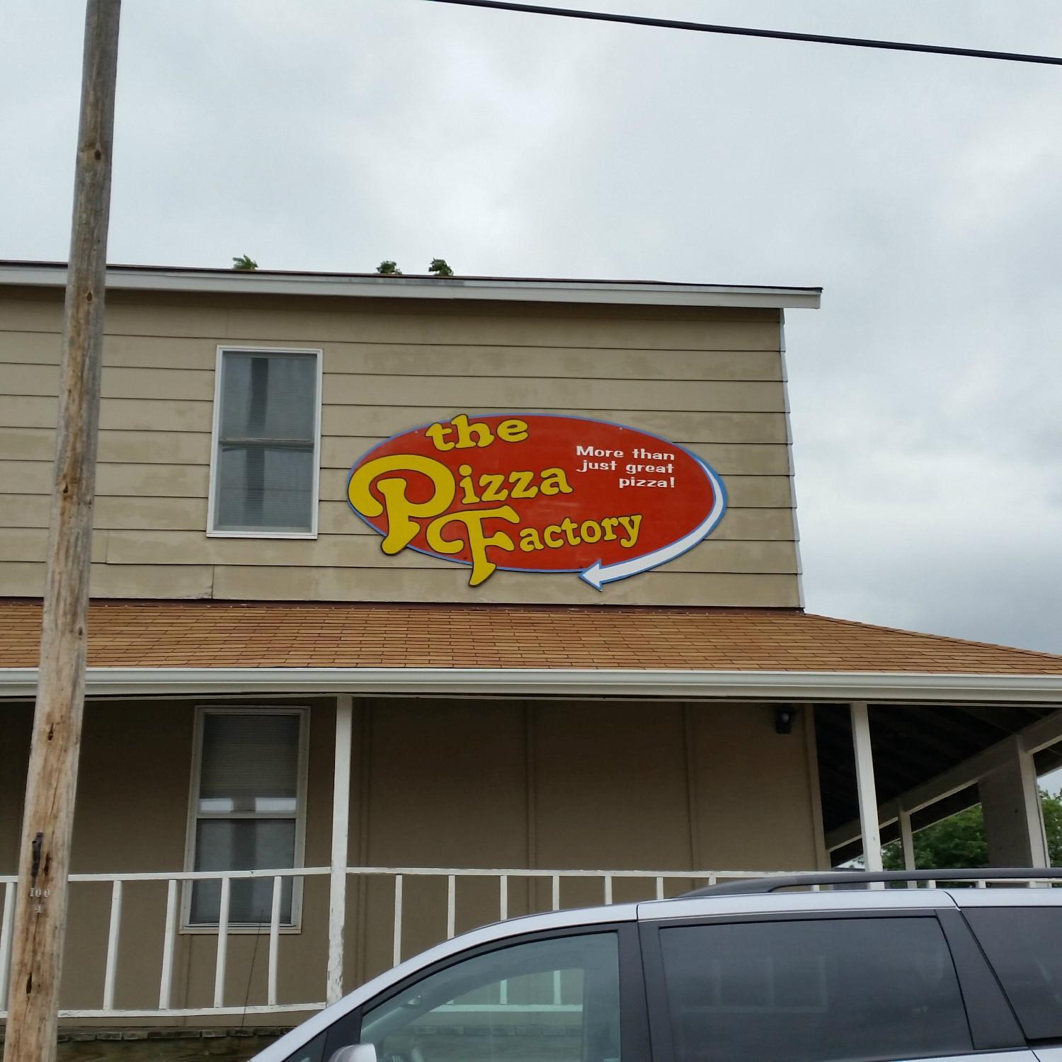
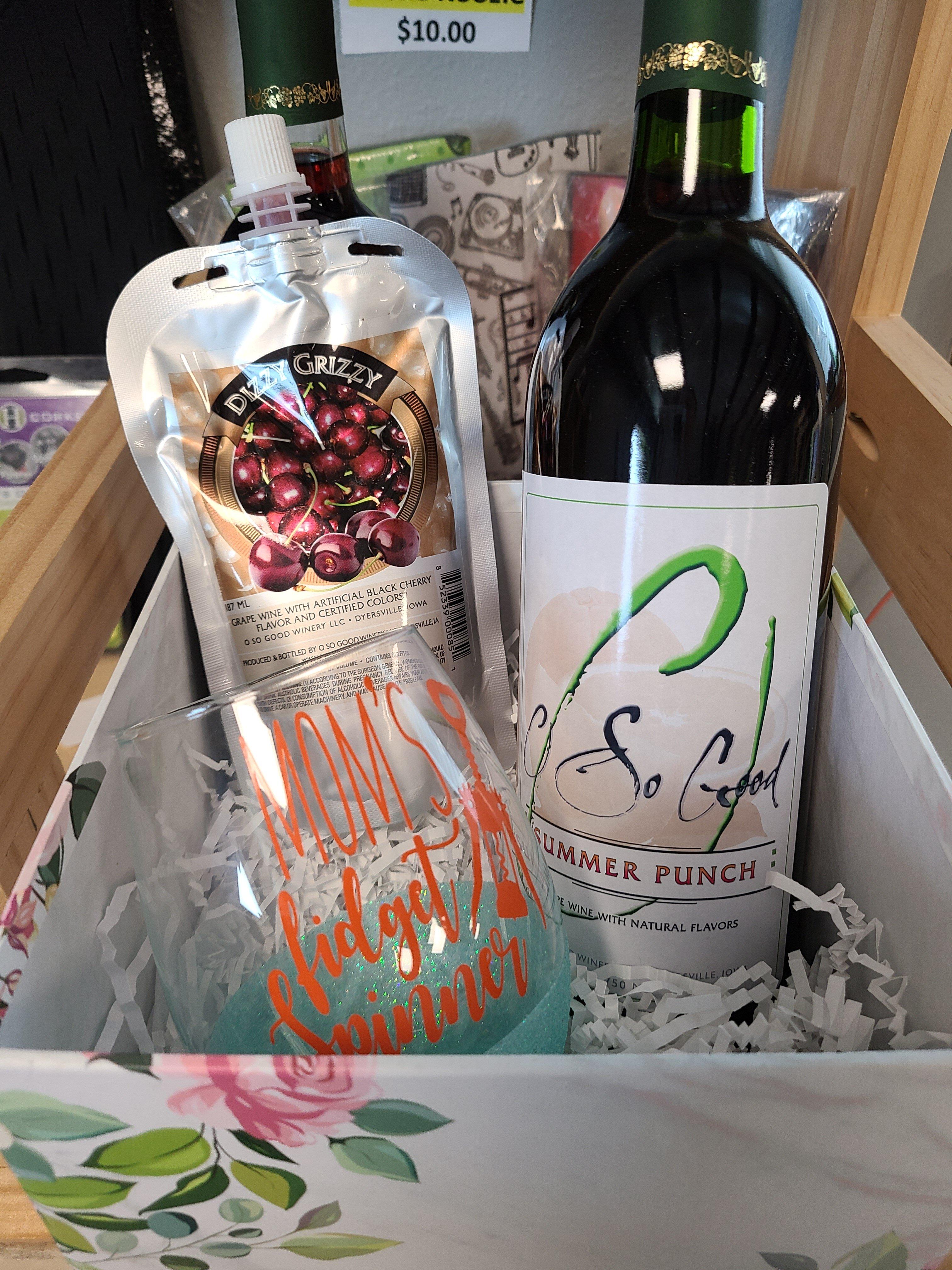
Dine and drink
Eat and drink your way through town.

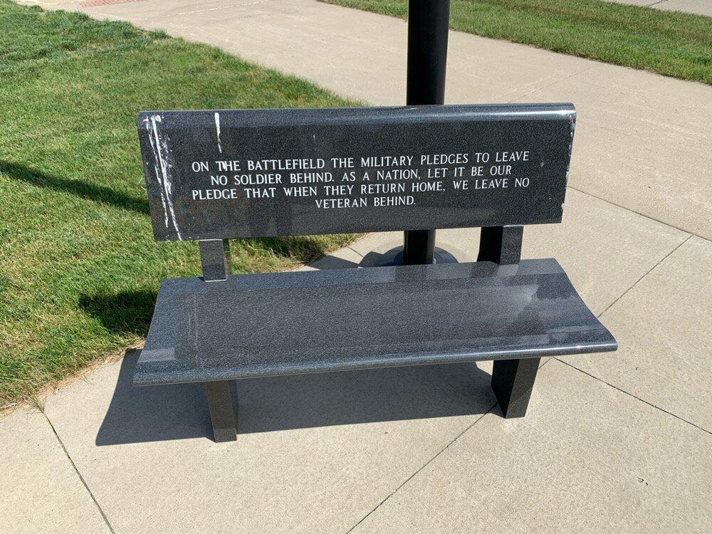
Can't-miss activities
Culture, natural beauty, and plain old fun.
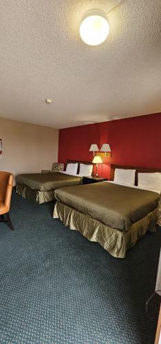
Places to stay
Hang your (vacation) hat in a place that’s just your style.


Advertisement