Elberon, IA
Advertisement
Elberon, IA Map
Elberon is a US city in Tama County in the state of Iowa. Located at the longitude and latitude of -92.317500, 42.005278 and situated at an elevation of 269 meters. In the 2020 United States Census, Elberon, IA had a population of 184 people. Elberon is in the Central Standard Time timezone at Coordinated Universal Time (UTC) -6. Find directions to Elberon, IA, browse local businesses, landmarks, get current traffic estimates, road conditions, and more.
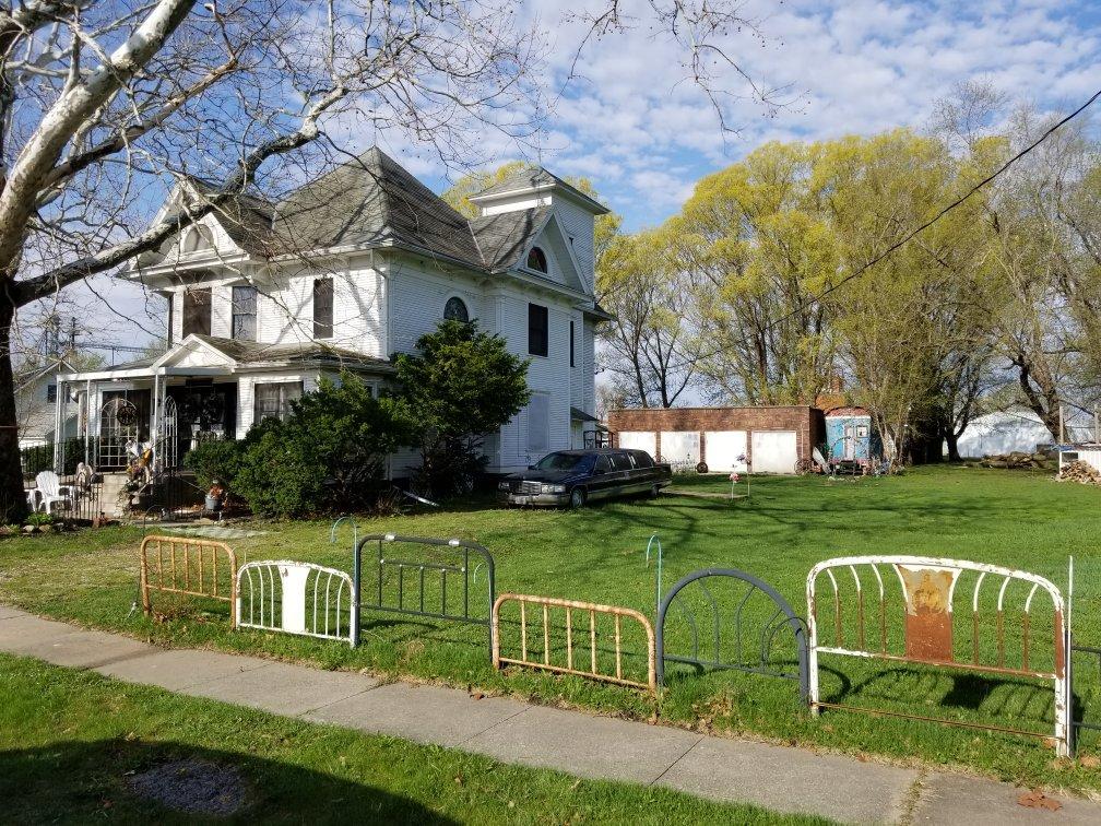
Elberon, located in the heart of Iowa, is a quintessential small town known for its rich agricultural heritage and close-knit community spirit. The town exudes a serene rural charm, with its landscape dominated by vast expanses of farmland that tell the story of its agrarian roots. A highlight for visitors is the Elberon Community Center, which often serves as a hub for local events and gatherings, offering a glimpse into the town's vibrant community life. The town's history is reflected in its architecture, with several buildings showcasing the classic Midwestern style that dates back to the late 19th and early 20th centuries.
While Elberon may not boast large attractions, it offers a peaceful retreat for those looking to explore Iowa's countryside. The local parks provide a perfect setting for picnics and leisurely walks, allowing visitors to soak in the tranquility of the rural environment. Additionally, the town's commitment to preserving its historical roots is evident in the various community-led initiatives aimed at maintaining its historical sites and promoting local history. Elberon's charm lies in its simplicity and the warm hospitality of its residents, making it a unique stop for travelers seeking an authentic small-town experience in Iowa.
Nearby cities include: York, IA, Vining, IA, Kane, IA, Keystone, IA, Homer, IA, Clutier, IA, Chelsea, IA, Chelsea, IA, Belle Plaine, IA, Carroll, IA.
Places in Elberon
Dine and drink
Eat and drink your way through town.
Can't-miss activities
Culture, natural beauty, and plain old fun.
Places to stay
Hang your (vacation) hat in a place that’s just your style.
Advertisement


