Decorah, IA
Advertisement
Decorah, IA Map
Decorah is a US city in Winneshiek County in the state of Iowa. Located at the longitude and latitude of -91.790300, 43.301700 and situated at an elevation of 268 meters. In the 2020 United States Census, Decorah, IA had a population of 7,587 people. Decorah is in the Central Standard Time timezone at Coordinated Universal Time (UTC) -6. Find directions to Decorah, IA, browse local businesses, landmarks, get current traffic estimates, road conditions, and more.
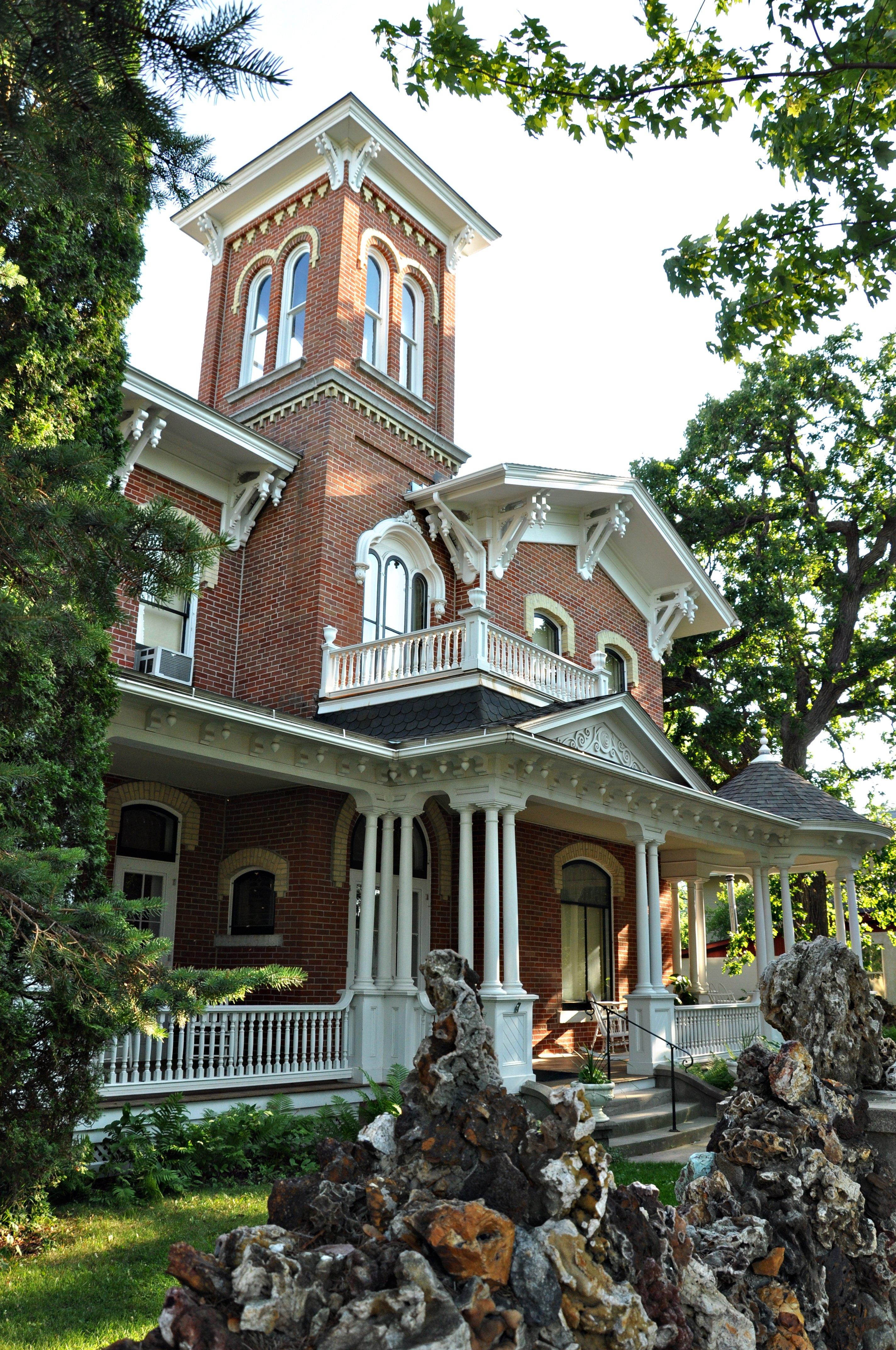
Decorah, Iowa, is renowned for its rich Norwegian heritage, which is celebrated annually during Nordic Fest, a lively event featuring traditional music, crafts, and cuisine. The city is home to Luther College, a liberal arts institution that contributes significantly to the town's cultural and intellectual vibrancy. Decorah's historic downtown area, with its well-preserved 19th-century architecture, offers a charming array of boutiques, cafes, and galleries, making it a delightful destination for visitors.
Nature enthusiasts are drawn to Decorah for its picturesque landscapes, including the scenic Trout Run Trail, a 12-mile loop perfect for biking and hiking, which offers stunning views of the Upper Iowa River and the surrounding bluffs. The Decorah Fish Hatchery is another popular spot, known for its famous bald eagle nest that has been the subject of live-streaming eagle cams. Additionally, the Vesterheim Norwegian-American Museum, one of the most comprehensive museums in the United States dedicated to a single immigrant group, provides an in-depth look into the area's cultural roots and history.
Nearby cities include: Calmar, IA, Ridgeway, IA, Spillville, IA, Ossian, IA, Burr Oak, IA, Union Prairie, IA, Fort Atkinson, IA, Hanover, IA, Castalia, IA, Mabel, MN.
Places in Decorah
Dine and drink
Eat and drink your way through town.
Can't-miss activities
Culture, natural beauty, and plain old fun.
Places to stay
Hang your (vacation) hat in a place that’s just your style.
Advertisement


