Clive, IA
Advertisement
Clive, IA Map
Clive is a US city in Polk County in the state of Iowa. Located at the longitude and latitude of -93.724167, 41.603056 and situated at an elevation of 254 meters. In the 2020 United States Census, Clive, IA had a population of 15,447 people. Clive is in the Central Standard Time timezone at Coordinated Universal Time (UTC) -6. Find directions to Clive, IA, browse local businesses, landmarks, get current traffic estimates, road conditions, and more.
Clive, located in the state of Iowa, is a city that offers a blend of suburban tranquility and natural beauty. It is renowned for its extensive trail system, particularly the Clive Greenbelt Trail, which meanders through the city's lush landscapes and is a favorite among walkers, runners, and cyclists. This trail is part of the larger Central Iowa Trail Network, making Clive a hub for outdoor enthusiasts looking to explore the region's natural offerings. The city is also known for its community events and a welcoming atmosphere that fosters a strong sense of belonging among residents and visitors alike.
One of Clive's historical highlights includes its development as a coal mining town in the late 19th century, which laid the groundwork for its growth into a thriving suburban community. Today, Clive combines its rich history with modern amenities, offering visitors a chance to enjoy both its past and present. The city is home to several parks, including Campbell Recreation Area, which provides ample spaces for sports, picnics, and family gatherings. Clive's commitment to preserving its green spaces while fostering community engagement makes it a unique destination in Iowa. Whether you're visiting for a day or planning a longer stay, Clive’s charm and hospitality are sure to leave a lasting impression.
Nearby cities include: Windsor Heights, IA, West Des Moines, IA, Urbandale, IA, Johnston, IA, Des Moines, IA, Grimes, IA, Boone, IA, Waukee, IA, Saylorville, IA, Walnut, IA.
Places in Clive
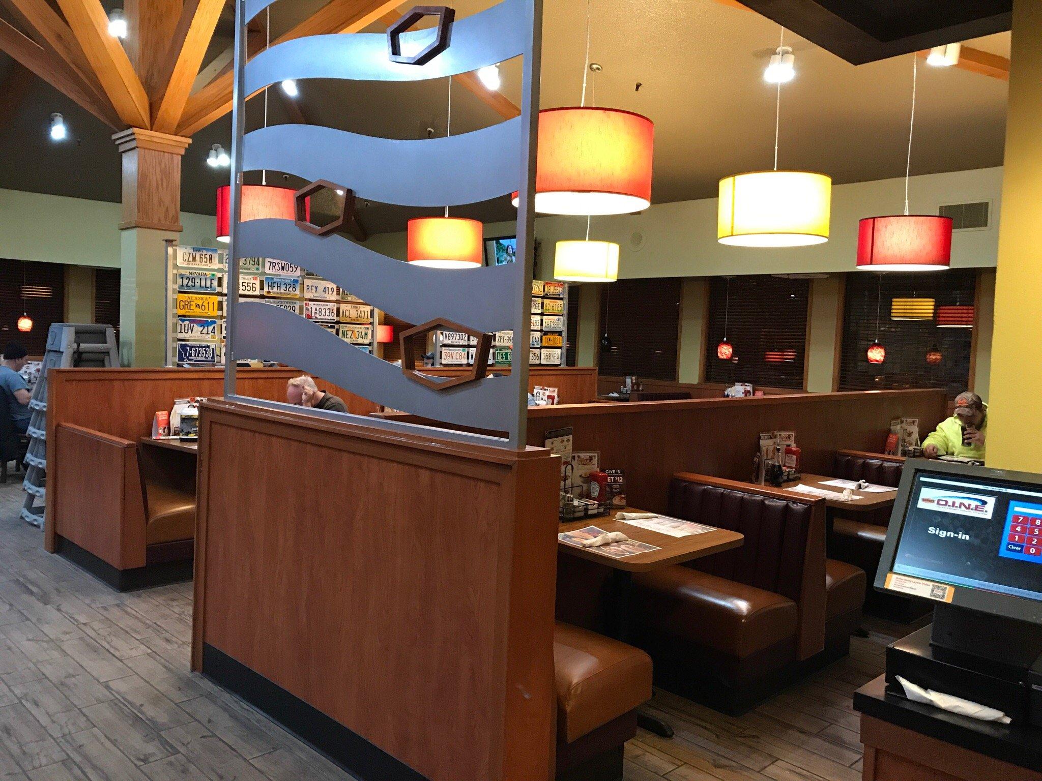
Dine and drink
Eat and drink your way through town.
Can't-miss activities
Culture, natural beauty, and plain old fun.
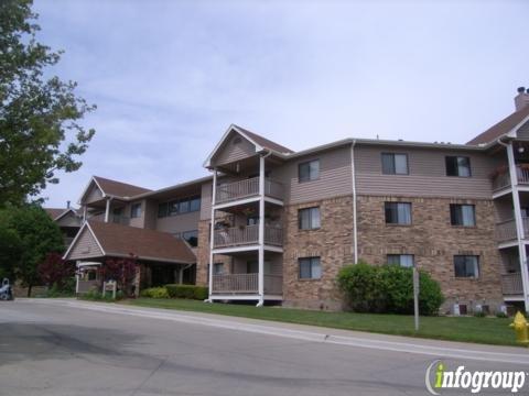
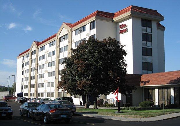
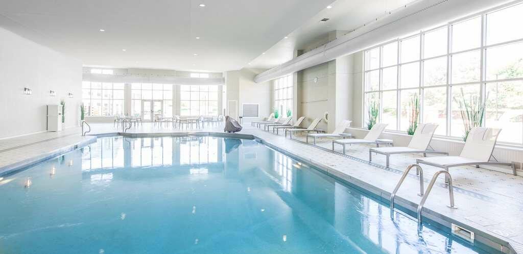
Places to stay
Hang your (vacation) hat in a place that’s just your style.
Advertisement


