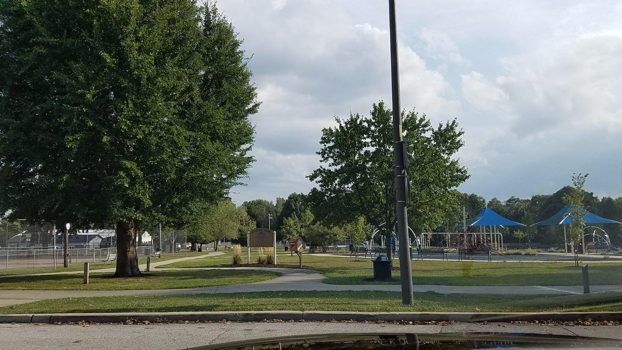
Wayne, IN
Advertisement
Fort Wayne, IN Map
Fort Wayne is a US city in Marion County in the state of Indiana. Located at the longitude and latitude of -85.139150, 41.080450 and situated at an elevation of 247 meters. In the 2020 United States Census, Fort Wayne, IN had a population of 263,886 people. Fort Wayne is in the Eastern Standard Time timezone at Coordinated Universal Time (UTC) -5. Find directions to Fort Wayne, IN, browse local businesses, landmarks, get current traffic estimates, road conditions, and more.
Fort Wayne, located in the northeastern region of Indiana, is a city rich in history and cultural significance. Known for its vibrant arts scene and historical landmarks, Fort Wayne serves as a cultural hub in the state. The city has a storied past, with its origins tracing back to a fort built in the late 18th century during the American Revolutionary War. This historical significance is commemorated at the Old Fort, a faithful reconstruction of the original military post, offering visitors a glimpse into the area's early days.
Among the city's popular attractions is the Fort Wayne Children's Zoo, which is frequently ranked as one of the top zoos in the nation. The city is also home to the Foellinger-Freimann Botanical Conservatory, a lush oasis that provides a serene escape with its diverse plant collections. Additionally, the Embassy Theatre, a historic venue downtown, hosts a variety of performances, from Broadway shows to concerts. Fort Wayne's Headwaters Park is a focal point for community events and festivals, making it a lively spot for locals and tourists alike. Overall, Fort Wayne offers a blend of historical intrigue and modern attractions, making it a noteworthy destination in Indiana.
Nearby cities include: New Haven, IN, Pleasant, IN, Marion, IN, Perry, IN, Huntertown, IN, Milan, IN, Lafayette, IN, Leo-Cedarville, IN, Eel River, IN, Hoagland, IN.
Places in Wayne
Dine and drink
Eat and drink your way through town.
Can't-miss activities
Culture, natural beauty, and plain old fun.
Places to stay
Hang your (vacation) hat in a place that’s just your style.
Advertisement


