Markle, IN
Advertisement
Markle, IN Map
Markle is a US city in Huntington County in the state of Indiana. Located at the longitude and latitude of -85.338060, 40.826390 and situated at an elevation of 247 meters. In the 2020 United States Census, Markle, IN had a population of 1,071 people. Markle is in the Eastern Standard Time timezone at Coordinated Universal Time (UTC) -5. Find directions to Markle, IN, browse local businesses, landmarks, get current traffic estimates, road conditions, and more.
Markle, Indiana, is a small town that embodies the charm and simplicity of rural America. Known for its friendly community and small-town atmosphere, Markle offers a peaceful retreat from the hustle and bustle of larger cities. One of the town's highlights is the Markle Fish & Game Club Park, a popular spot for outdoor enthusiasts and families looking to enjoy picnicking, fishing, and leisurely strolls. The town also hosts the annual Markle Wildcat Festival, a cherished local event that brings together residents and visitors for a celebration filled with parades, live music, and various family-friendly activities.
Historically, Markle has roots dating back to the 19th century, with its development closely tied to the expansion of the railroad. This history is subtly echoed in the town's architecture and layout, offering a glimpse into its past. The Markle Historical Society Museum provides further insights into the area's rich history, showcasing artifacts and stories from the town's early days. This quaint Indiana town, with its welcoming community and historical significance, offers a unique slice of Americana that is both engaging and enriching for those who visit.
Nearby cities include: Rockcreek, IN, Uniondale, IN, Zanesville, IN, Huntington, IN, Lancaster, IN, Ossian, IN, Roanoke, IN, Lafayette, IN, Bluffton, IN, Warren, IN.
Places in Markle
Dine and drink
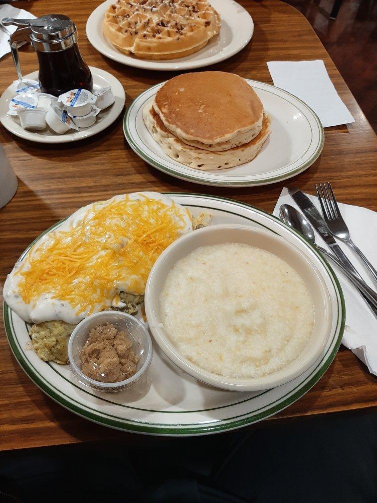
Eat and drink your way through town.
Places to stay
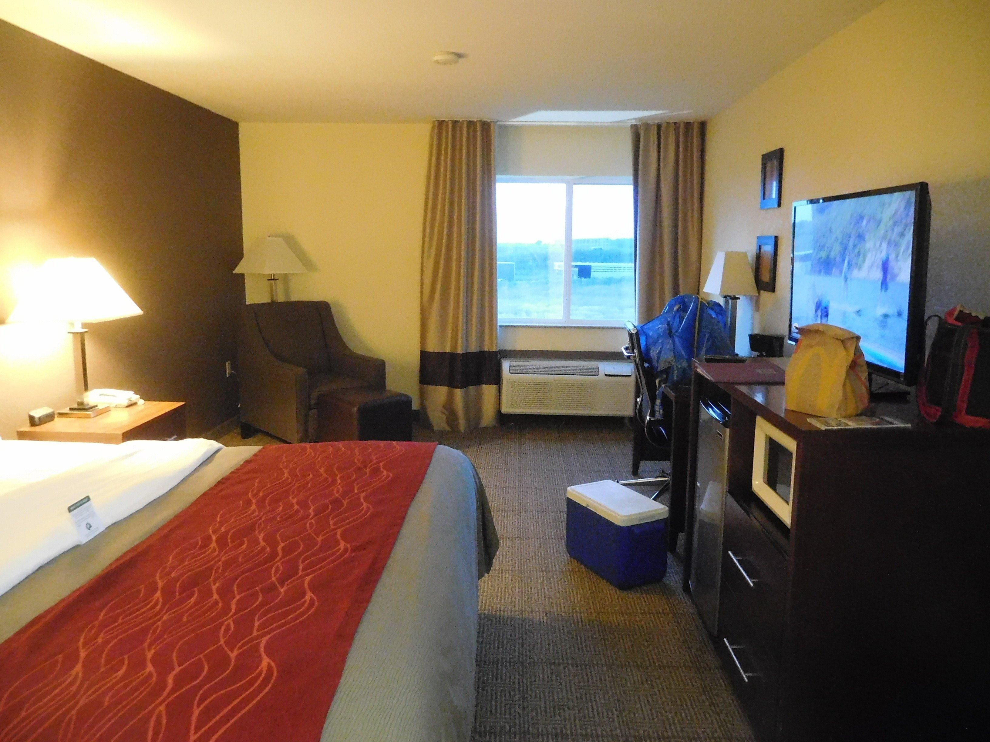
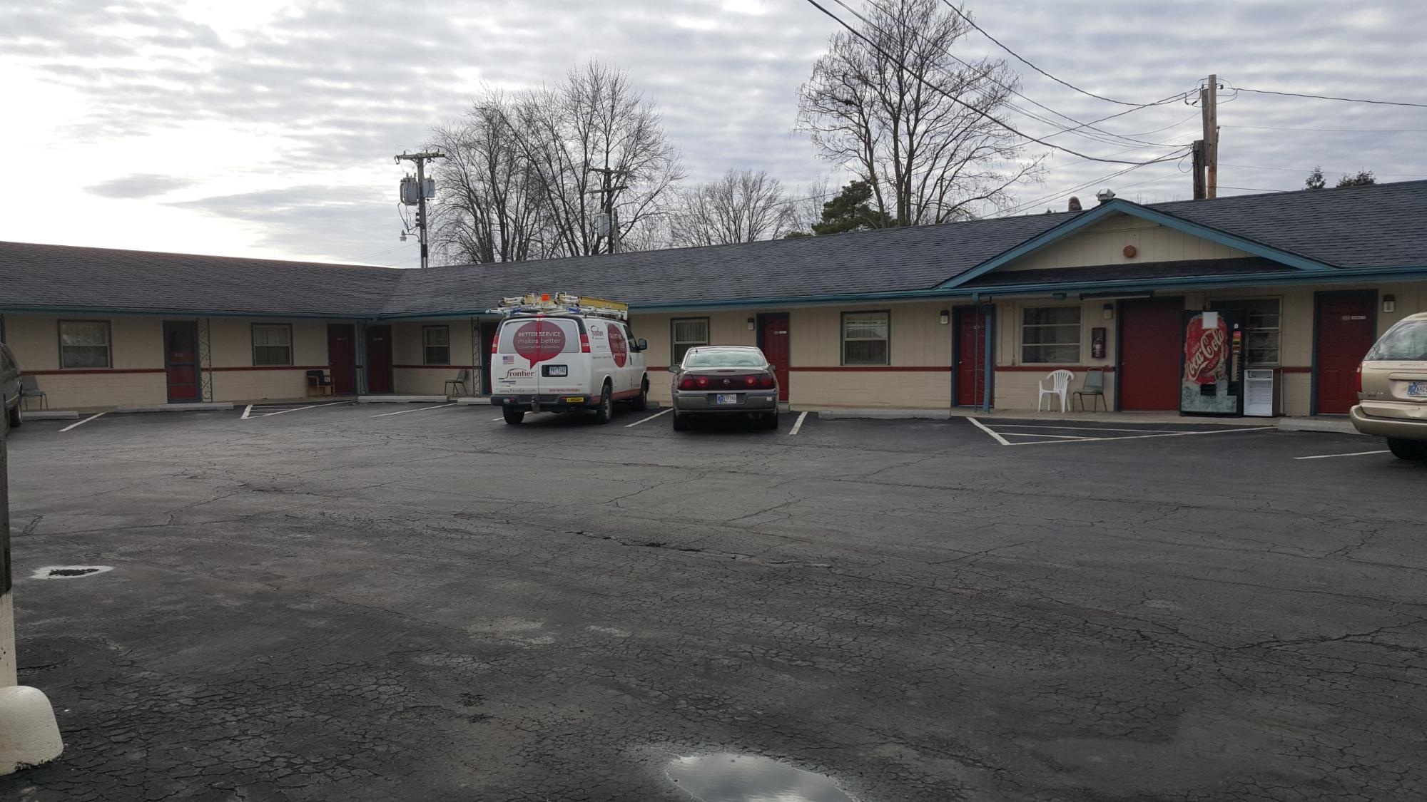
Hang your (vacation) hat in a place that’s just your style.
Advertisement


