Berne, IN
Advertisement
Berne, IN Map
Berne is a US city in Adams County in the state of Indiana. Located at the longitude and latitude of -84.954167, 40.658056 and situated at an elevation of 257 meters. In the 2020 United States Census, Berne, IN had a population of 4,173 people. Berne is in the Eastern Standard Time timezone at Coordinated Universal Time (UTC) -5. Find directions to Berne, IN, browse local businesses, landmarks, get current traffic estimates, road conditions, and more.
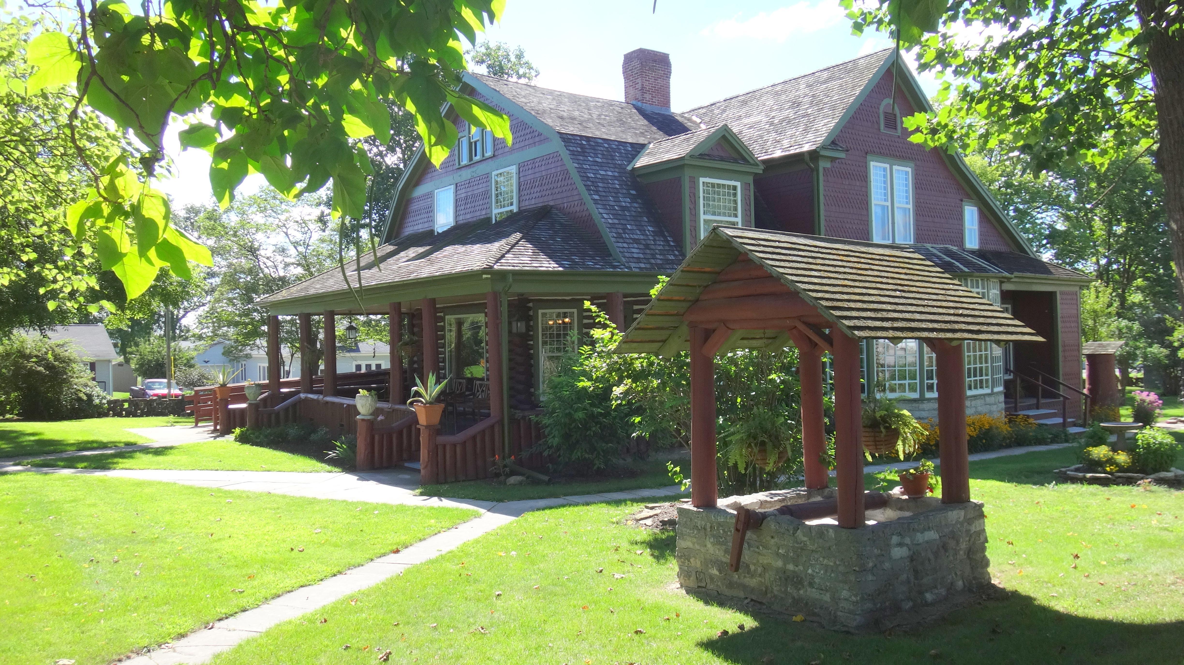
Berne, Indiana, is a city steeped in rich Swiss heritage, a nod to its founding by Swiss Mennonite immigrants in 1852. This quaint city is renowned for its celebration of Swiss culture, which is prominently showcased in its architecture, festivals, and local customs. One of the most iconic landmarks in Berne is the Muensterberg Plaza and Clock Tower, a striking structure that pays homage to the city’s Swiss roots and serves as a focal point for community events. Berne's dedication to preserving its heritage is further evident in the Swiss Heritage Village and Museum, where visitors can immerse themselves in the history and traditions of the area's early settlers.
Beyond its historical attractions, Berne is known for its vibrant local community and charming small-town atmosphere. The city hosts the annual Swiss Days Festival, a lively event that draws visitors from near and far to enjoy Swiss music, food, and crafts. For those interested in outdoor activities, Lehman Park offers a tranquil setting for picnics, walking trails, and recreational sports. Whether you're exploring its cultural landmarks or enjoying the friendly local vibe, Berne provides an inviting glimpse into the enduring legacy of its Swiss founders.
Nearby cities include: Wabash, IN, Geneva, IN, Hartford, IN, French, IN, Monroe, IN, Blue Creek, IN, Vera Cruz, IN, Bryant, IN, Kirkland, IN, Willshire, OH.
Places in Berne
Can't-miss activities
Culture, natural beauty, and plain old fun.
Places to stay
Hang your (vacation) hat in a place that’s just your style.
Advertisement


