Avilla, IN
Advertisement
Avilla, IN Map
Avilla is a US city in Noble County in the state of Indiana. Located at the longitude and latitude of -85.238860, 41.365880 and situated at an elevation of 294 meters. In the 2020 United States Census, Avilla, IN had a population of 2,438 people. Avilla is in the Eastern Standard Time timezone at Coordinated Universal Time (UTC) -5. Find directions to Avilla, IN, browse local businesses, landmarks, get current traffic estimates, road conditions, and more.
Avilla, Indiana is a small town with a rich history and a charming, close-knit community atmosphere. Known for its welcoming spirit and historical roots, Avilla offers a glimpse into Indiana's past while providing a hospitable environment for visitors. The town is perhaps best known for its annual Avilla Freedom Festival, which celebrates the nation's independence with a parade, fireworks, and various local festivities, drawing crowds from the surrounding areas. This event showcases the community's pride and offers a quintessential small-town American experience.
Among the notable places in Avilla is the St. Mary's Catholic Church, a beautiful historic building that stands as a testament to the town's longstanding religious heritage. Visitors often appreciate the serene ambiance and the church's architectural beauty. The nearby Eley Memorial Park provides a pleasant recreational area for families and nature enthusiasts, featuring walking trails, playgrounds, and picnic areas. These attractions, coupled with the town's welcoming residents, make Avilla a charming destination for those seeking a taste of small-town America with a touch of historical allure.
Nearby cities include: Allen, IN, Altona, IN, Kendallville, IN, Garrett, IN, Corunna, IN, Butler, IN, Auburn, IN, Fairfield, IN, Eel River, IN, Albion, IN.
Places in Avilla
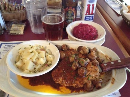
Dine and drink
Eat and drink your way through town.
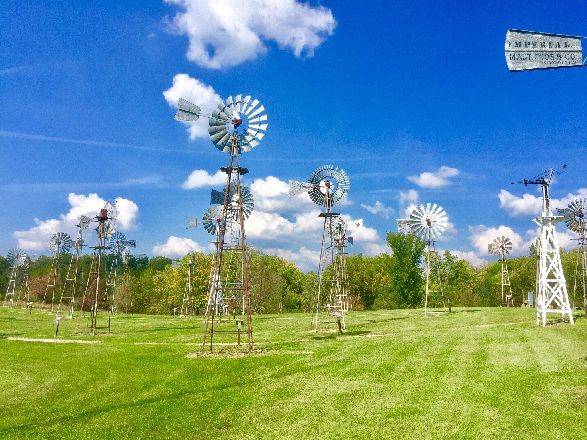
Can't-miss activities
Culture, natural beauty, and plain old fun.
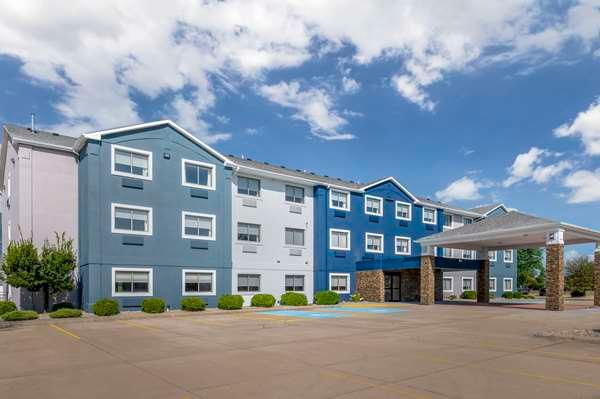
Places to stay
Hang your (vacation) hat in a place that’s just your style.
Advertisement


