


Whiting, IN
Advertisement
Whiting, IN Map
Whiting is a US city in Lake County in the state of Indiana. Located at the longitude and latitude of -87.490600, 41.676100 and situated at an elevation of 179 meters. In the 2020 United States Census, Whiting, IN had a population of 4,559 people. Whiting is in the Central Standard Time timezone at Coordinated Universal Time (UTC) -6. Find directions to Whiting, IN, browse local businesses, landmarks, get current traffic estimates, road conditions, and more.
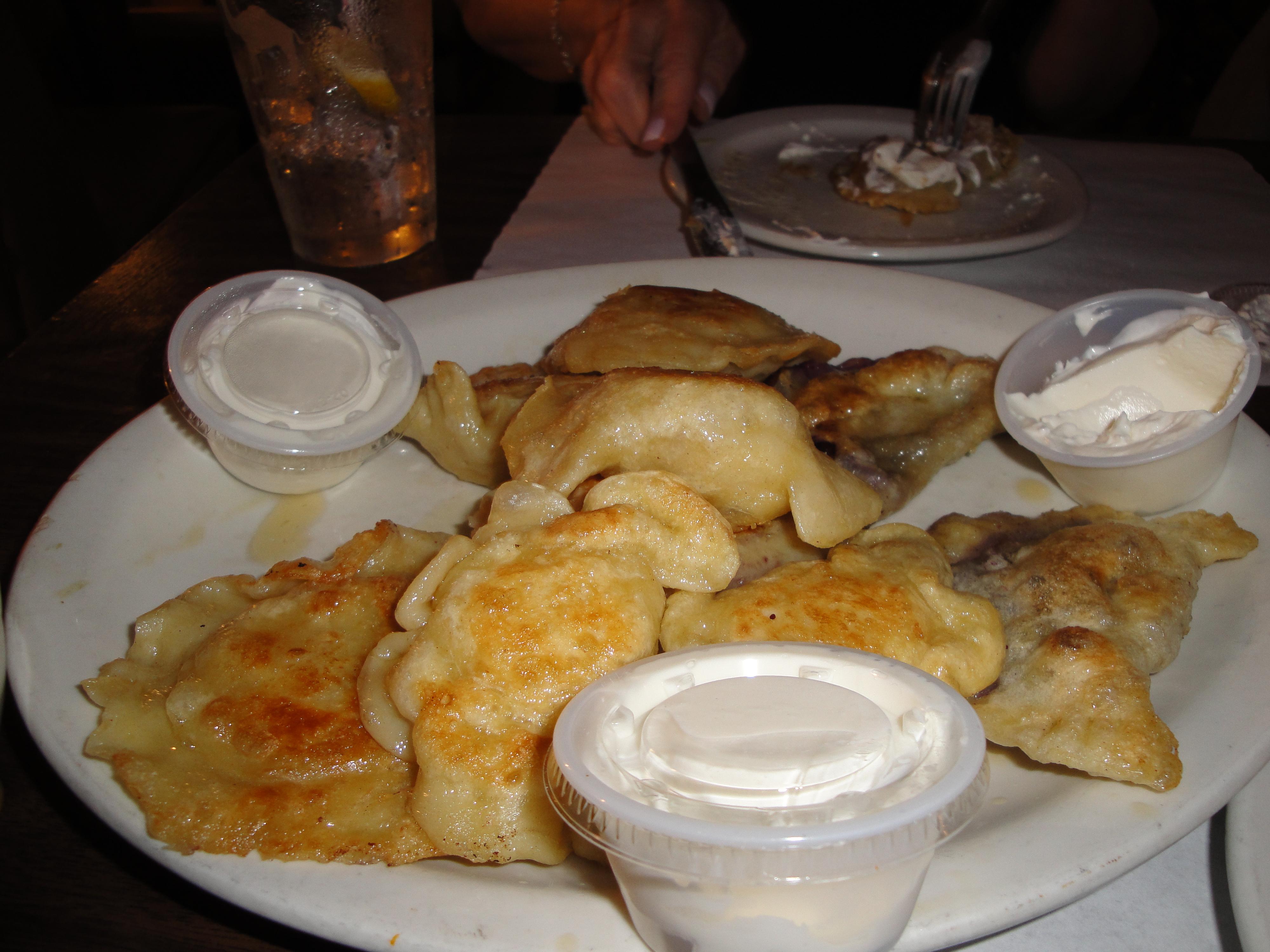
Whiting, Indiana, is a small city with a unique charm, nestled along the southern shore of Lake Michigan. Known for its vibrant community and historical significance, Whiting is most famous for hosting the annual Pierogi Fest, a lively event celebrating Polish heritage with food, music, and entertainment that draws thousands of visitors each year. This festival has put Whiting on the map, making it a must-visit for those interested in cultural festivities and delicious cuisine.
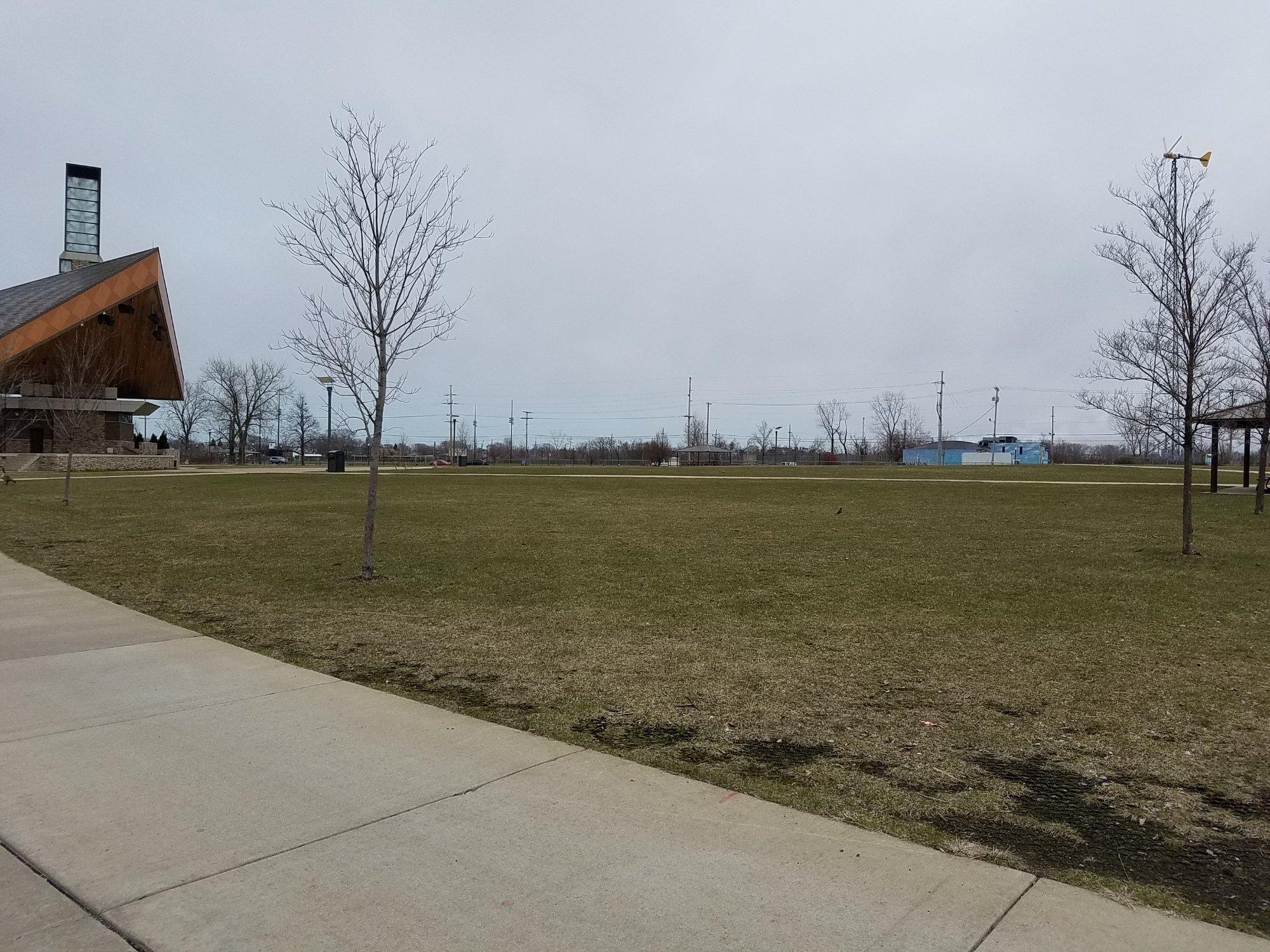
Beyond the festival, Whiting boasts several attractions that highlight its rich industrial history. The Whiting Lakefront Park offers picturesque views of Lake Michigan and the Chicago skyline, providing a perfect spot for relaxation and recreation. The Mascot Hall of Fame is another popular destination, offering interactive exhibits and activities that engage visitors of all ages. Founded in 1889, Whiting's history is intertwined with the development of the oil industry, as it was home to one of the first major oil refineries in the United States. This historical backdrop adds a layer of depth to the city's modern attractions, making Whiting a fascinating place to explore.
Nearby cities include: East Chicago, IN, Burnham, IL, Hammond, IN, Calumet City, IL, Dolton, IL, Riverdale, IL, South Holland, IL, Munster, IN, Lansing, IL, Phoenix, IL.
Places in Whiting
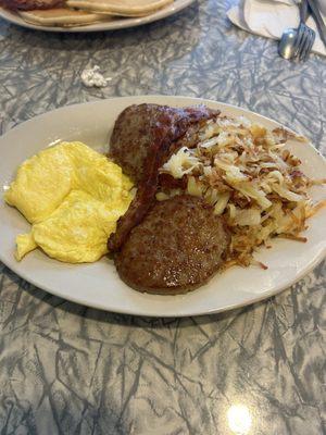
Dine and drink
Eat and drink your way through town.


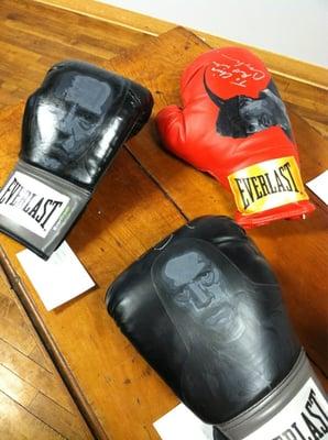
Can't-miss activities
Culture, natural beauty, and plain old fun.

Places to stay
Hang your (vacation) hat in a place that’s just your style.


Advertisement