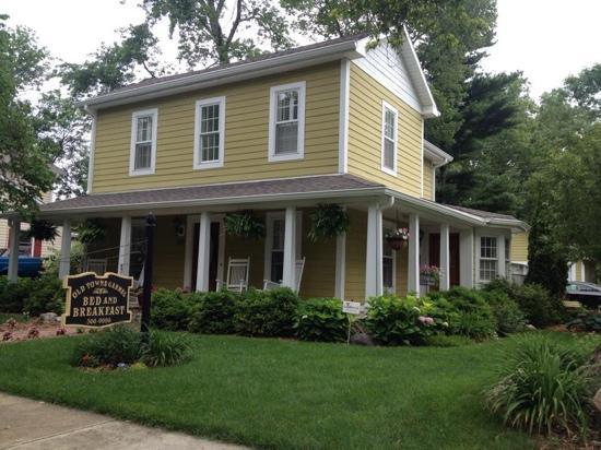
Westfield, IN
Advertisement
Westfield, IN Map
Westfield is a US city in Hamilton County in the state of Indiana. Located at the longitude and latitude of -86.128900, 40.032200 and situated at an elevation of 270 meters. In the 2020 United States Census, Westfield, IN had a population of 46,410 people. Westfield is in the Eastern Standard Time timezone at Coordinated Universal Time (UTC) -5. Find directions to Westfield, IN, browse local businesses, landmarks, get current traffic estimates, road conditions, and more.
Westfield, located in the state of Indiana, is renowned for its vibrant community spirit and family-friendly atmosphere. A key highlight of the city is the Grand Park Sports Campus, a sprawling facility that has become a central hub for youth and adult sports, drawing visitors from across the nation for tournaments and events. The city is also known for its charming downtown area, where you'll find a mix of local boutiques, cafes, and restaurants offering a taste of local culture and cuisine. Westfield's history dates back to its founding in 1834, and it has evolved from a small Quaker settlement into a thriving suburban city while still maintaining its historic charm.
For those interested in the outdoors, Westfield offers a variety of parks and trails, including the Monon Trail, which provides an excellent opportunity for biking, walking, and enjoying the scenic surroundings. The city is also home to several annual festivals and events that celebrate its community spirit and cultural heritage, making it a pleasant destination for both residents and visitors. Whether you're interested in sports, history, or simply looking for a peaceful suburban experience, Westfield offers a well-rounded experience with its blend of modern amenities and historical roots.
Nearby cities include: Carmel, IN, Noblesville, IN, Fishers, IN, Sheridan, IN, Cicero, IN, Zionsville, IN, Williams Creek, IN, Meridian Hills, IN, Eagle, IN, Arcadia, IN.
Places in Westfield
Dine and drink
Eat and drink your way through town.
Can't-miss activities
Culture, natural beauty, and plain old fun.
Places to stay
Hang your (vacation) hat in a place that’s just your style.
Advertisement


