Vincennes, IN
Advertisement
Vincennes, IN Map
Vincennes is a US city in Knox County in the state of Indiana. Located at the longitude and latitude of -87.516111, 38.678333 and situated at an elevation of 128 meters. In the 2020 United States Census, Vincennes, IN had a population of 16,759 people. Vincennes is in the Central Standard Time timezone at Coordinated Universal Time (UTC) -6. Find directions to Vincennes, IN, browse local businesses, landmarks, get current traffic estimates, road conditions, and more.
Vincennes, Indiana, is a city steeped in rich historical significance, known primarily as Indiana's oldest city. Its historical roots date back to 1732 when it was established as a French fur trading post. The city played a pivotal role during the American Revolutionary War, most notably with the capture of Fort Sackville by George Rogers Clark in 1779. This event is commemorated at the George Rogers Clark National Historical Park, where visitors can explore the impressive memorial and learn about this crucial moment in American history.
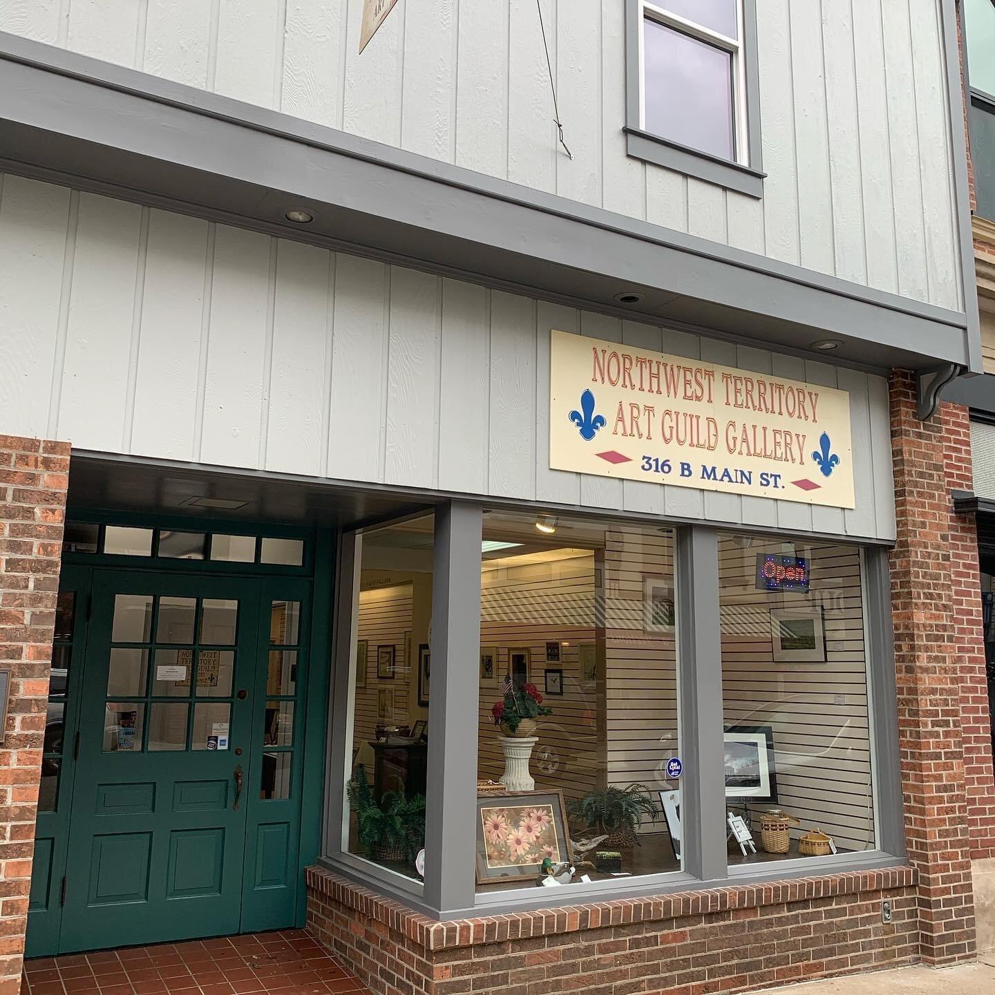
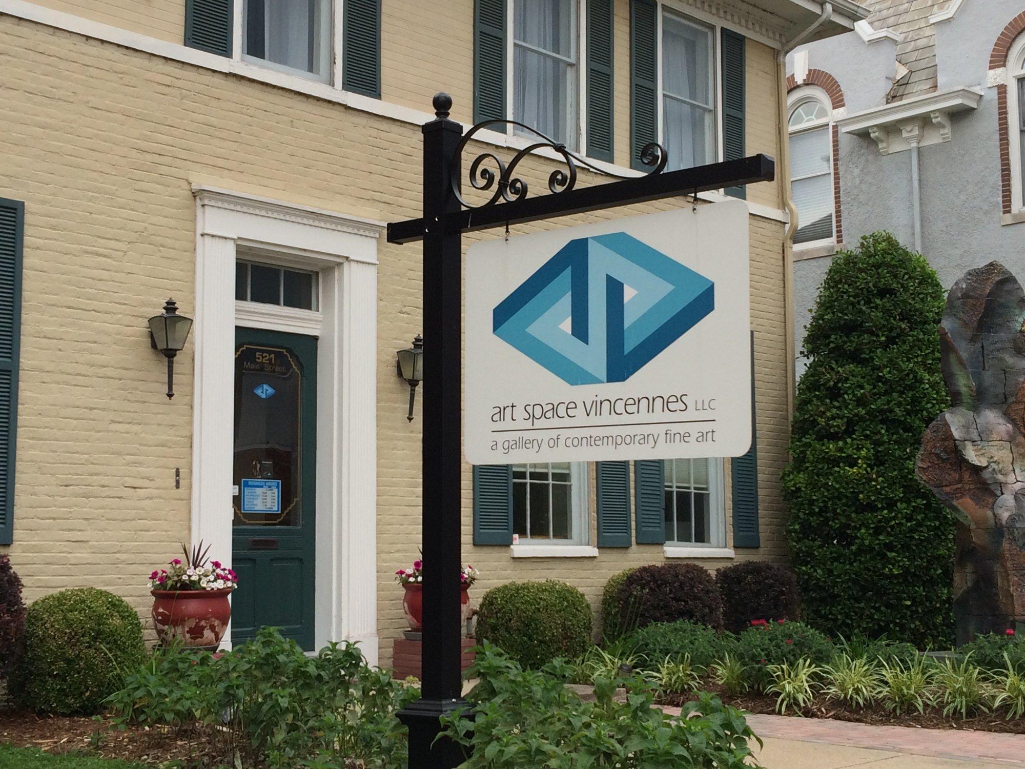
Beyond its historical sites, Vincennes offers several attractions that highlight its cultural heritage. The Grouseland, home of William Henry Harrison, the ninth President of the United States, is a beautifully preserved mansion that provides insight into early 19th-century life. The Indiana Military Museum is another must-visit, showcasing an extensive collection of military artifacts from various wars. The Red Skelton Museum of American Comedy pays homage to the city's native son, legendary comedian Red Skelton, and offers a delightful experience for visitors interested in the arts and entertainment. With its blend of history and culture, Vincennes invites exploration and offers a tangible connection to the past.
Nearby cities include: Allison, IL, Bruceville, IN, Russell, IL, Lawrenceville, IL, Monroe City, IN, Russellville, IL, Denison, IL, Decker, IN, Wheatland, IN, Ragsdale, IN.
Places in Vincennes
Dine and drink
Eat and drink your way through town.
Can't-miss activities
Culture, natural beauty, and plain old fun.
Places to stay
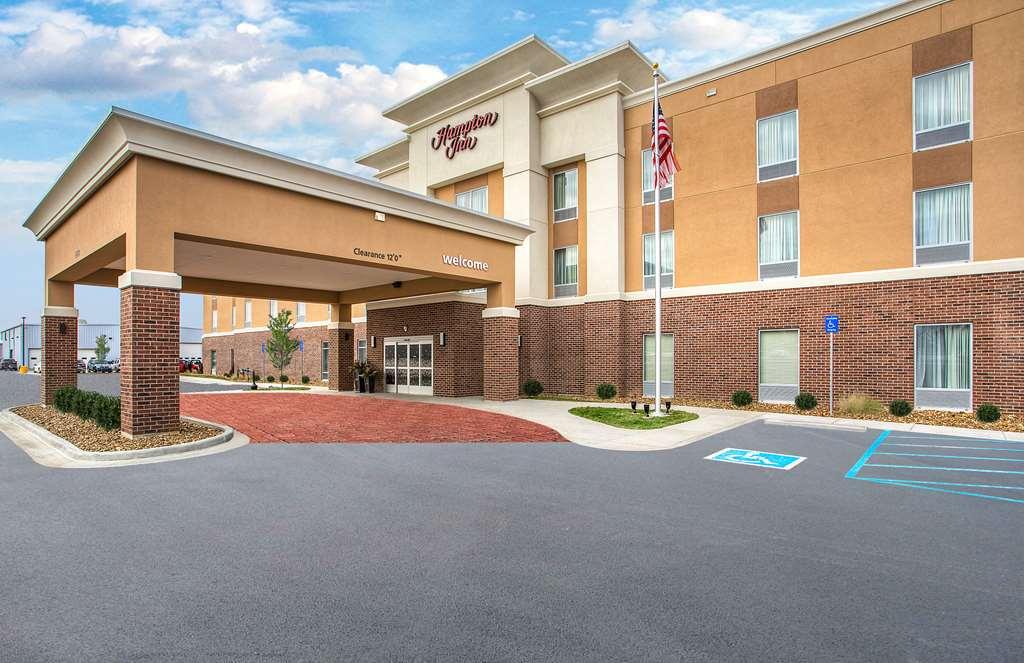
Hang your (vacation) hat in a place that’s just your style.
Advertisement


