Henryville
Advertisement
Henryville, IN Map
Henryville is a US city in Clark County in the state of Indiana. Located at the longitude and latitude of -85.766700, 38.541100 and situated at an elevation of 158 meters. In the 2020 United States Census, Henryville, IN had a population of 1,878 people. Henryville is in the Eastern Standard Time timezone at Coordinated Universal Time (UTC) -5. Find directions to Henryville, IN, browse local businesses, landmarks, get current traffic estimates, road conditions, and more.
Henryville, located in the state of Indiana, is primarily known as the birthplace of Colonel Harland Sanders, the founder of Kentucky Fried Chicken (KFC). This connection to Sanders has made it a point of interest for those who are fans of the iconic fast-food brand. Visitors often seek out the historical markers and local lore associated with Sanders' early life in the area. While the town maintains a quaint and quiet atmosphere, its association with such a globally recognized figure gives it a unique charm.
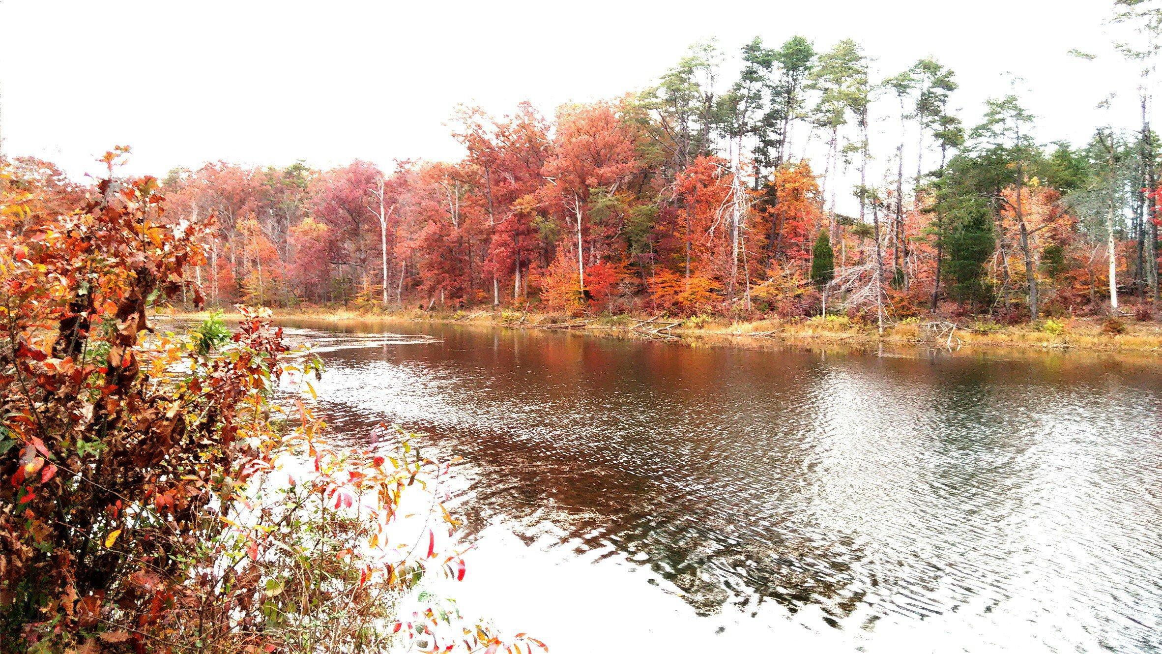
A popular place within Henryville is the Clark State Forest, the oldest state forest in Indiana, which offers a variety of outdoor activities such as hiking, camping, and fishing. The forest provides a scenic backdrop to this small town and serves as a perfect spot for nature enthusiasts looking to explore the natural beauty of the region. The area's history, intertwined with its natural landscapes, makes Henryville an interesting stop for those traveling through Indiana.
Nearby cities include: Memphis, IN, Oregon, IN, Carr, IN, Charlestown, IN, Charlestown, IN, Sellersburg, IN, Scottsburg, IN, Silver Creek, IN, Franklin, IN, Borden, IN.
Places in Henryville
Dine and drink
Eat and drink your way through town.
Can't-miss activities
Culture, natural beauty, and plain old fun.
Places to stay
Hang your (vacation) hat in a place that’s just your style.
Advertisement


