


Edinburgh, IN
Advertisement
Edinburgh, IN Map
Edinburgh is a US city in Johnson County in the state of Indiana. Located at the longitude and latitude of -85.967500, 39.352800 and situated at an elevation of 205 meters. In the 2020 United States Census, Edinburgh, IN had a population of 4,435 people. Edinburgh is in the Eastern Standard Time timezone at Coordinated Universal Time (UTC) -5. Find directions to Edinburgh, IN, browse local businesses, landmarks, get current traffic estimates, road conditions, and more.
Edinburgh, Indiana, is a small town with a rich history and a quintessential Midwestern charm. Known primarily for its historical significance and community-oriented atmosphere, the town boasts a range of attractions that draw visitors interested in both history and leisure. One of the main highlights is the Edinburgh Premium Outlets, a popular shopping destination featuring a variety of brand-name stores that attract shoppers from all over the region. This makes Edinburgh a convenient stop for those looking to combine retail therapy with a small-town experience.
The town also takes pride in its historical roots, with several landmarks and sites that echo its past. The Timbergate Golf Course offers a picturesque setting for golf enthusiasts, while the nearby Camp Atterbury, a military and civilian training base, adds a layer of historical and contemporary significance to the area. Additionally, the town's proximity to natural attractions provides opportunities for outdoor activities, making it a well-rounded destination for visitors seeking a mix of history, shopping, and recreation. Edinburgh's blend of historical significance and modern amenities makes it a unique spot worth exploring in Indiana.
Nearby cities include: Taylorsville, IN, Princes Lakes, IN, Clifford, IN, Flat Rock, IN, Cordry Sweetwater Lakes, IN, Needham, IN, Hendricks, IN, Columbus, IN, Franklin, IN, Trafalgar, IN.
Places in Edinburgh
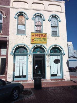
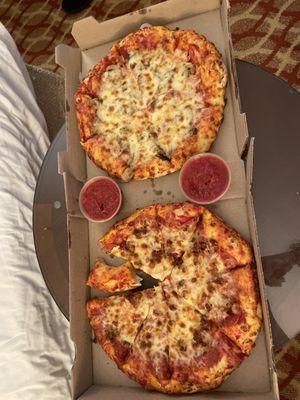
Dine and drink
Eat and drink your way through town.


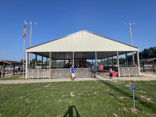
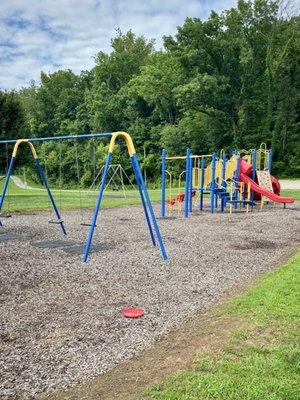
Can't-miss activities
Culture, natural beauty, and plain old fun.
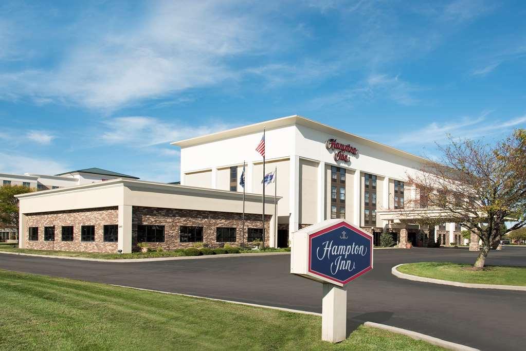
Places to stay
Hang your (vacation) hat in a place that’s just your style.


Advertisement