Brookville, IN
Advertisement
Brookville, IN Map
Brookville is a US city in Franklin County in the state of Indiana. Located at the longitude and latitude of -85.009400, 39.422200 and situated at an elevation of 203 meters. In the 2020 United States Census, Brookville, IN had a population of 2,622 people. Brookville is in the Eastern Standard Time timezone at Coordinated Universal Time (UTC) -5. Find directions to Brookville, IN, browse local businesses, landmarks, get current traffic estimates, road conditions, and more.
Brookville, Indiana, is a charming locale renowned for its picturesque setting and historical significance. Nestled near the confluence of the East and West Forks of the Whitewater River, the city is famed for Brookville Lake, a sprawling reservoir that offers a bounty of recreational activities such as fishing, boating, and hiking. The lake's surrounding state parks provide ample opportunities for outdoor enthusiasts to explore the natural beauty of the region. Brookville's rich history is also evident in its well-preserved architecture and landmarks, reflecting its early 19th-century roots as a vital hub in Indiana's development.
Among the city's notable attractions is the Franklin County Historical Society Museum, which offers insights into the area's past, showcasing artifacts and exhibits that chronicle the local heritage. Brookville is also known for its vibrant local community events, such as the annual Canoefest, which celebrates the town's connection to the Whitewater River with canoe races and festivities. Visitors can enjoy a leisurely stroll through the quaint downtown area, where unique shops and local eateries offer a taste of Brookville's welcoming atmosphere. The blend of natural beauty, historical depth, and community spirit makes Brookville a delightful destination for those seeking a serene yet engaging experience.
Nearby cities include: Brookville, IN, Highland, IN, Cedar Grove, IN, Metamora, IN, Mount Carmel, IN, Springfield, IN, Bath, IN, Whitewater, IN, Harmony, IN, Saint Leon, IN.
Places in Brookville
Dine and drink
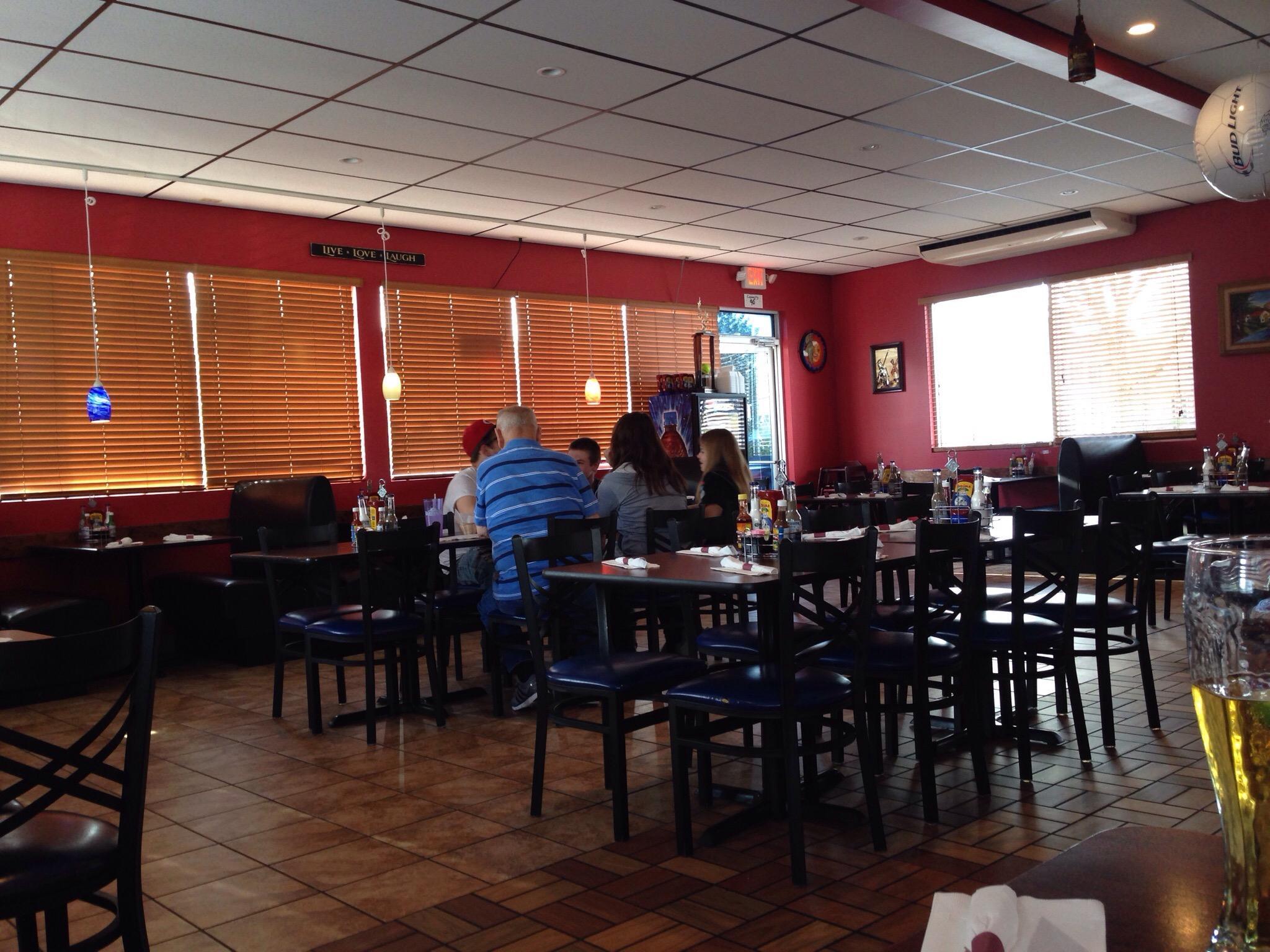
Eat and drink your way through town.
Can't-miss activities
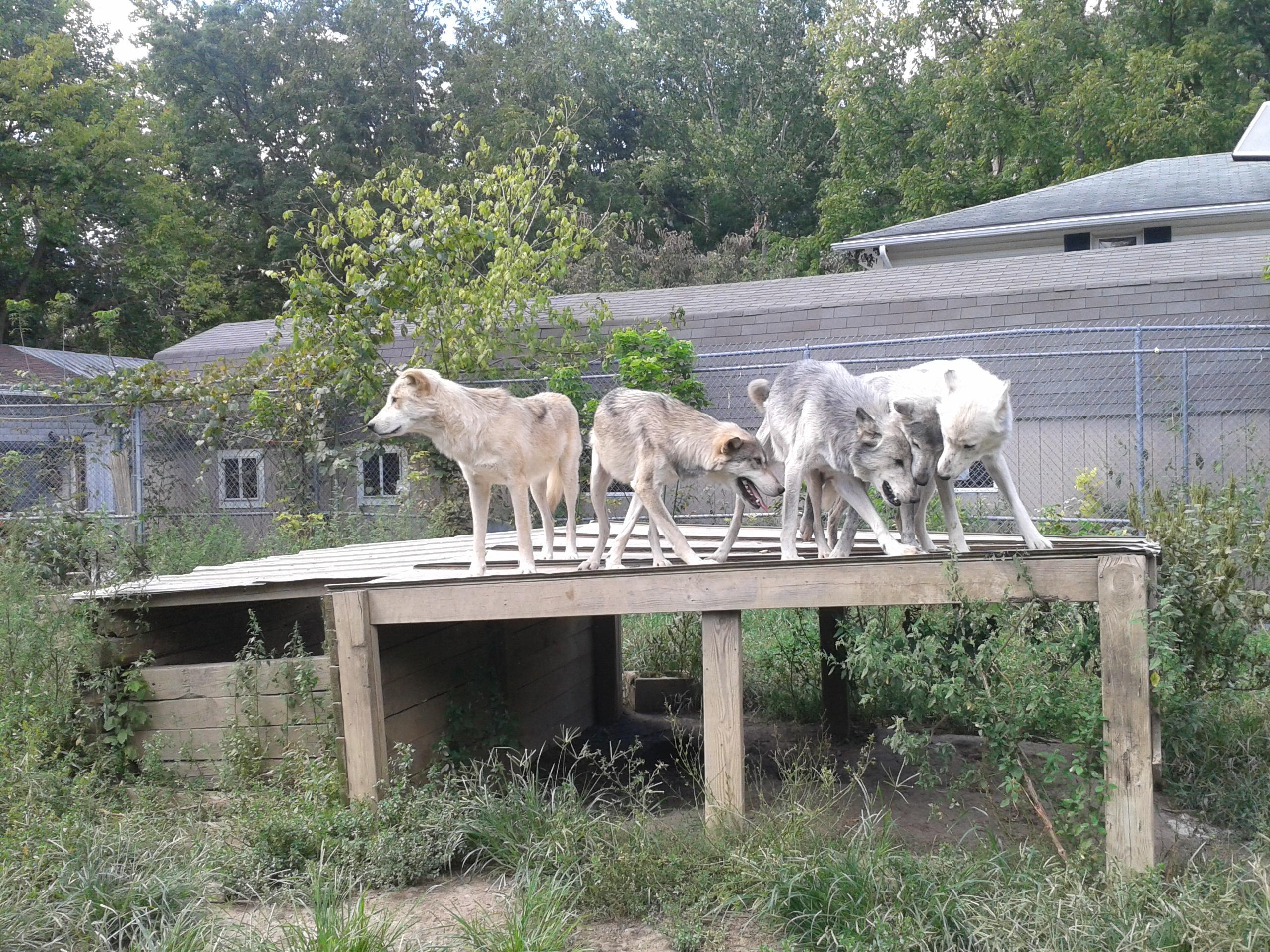
Culture, natural beauty, and plain old fun.
Places to stay
Hang your (vacation) hat in a place that’s just your style.
Advertisement


