Zion, IL
Advertisement
Mount Zion, IL Map
Mount Zion is a US city in Lake County in the state of Illinois. Located at the longitude and latitude of -88.878611, 39.778056 and situated at an elevation of 690 meters. In the 2020 United States Census, Mount Zion, IL had a population of 6,019 people. Mount Zion is in the Central Standard Time timezone at Coordinated Universal Time (UTC) -6. Find directions to Mount Zion, IL, browse local businesses, landmarks, get current traffic estimates, road conditions, and more.
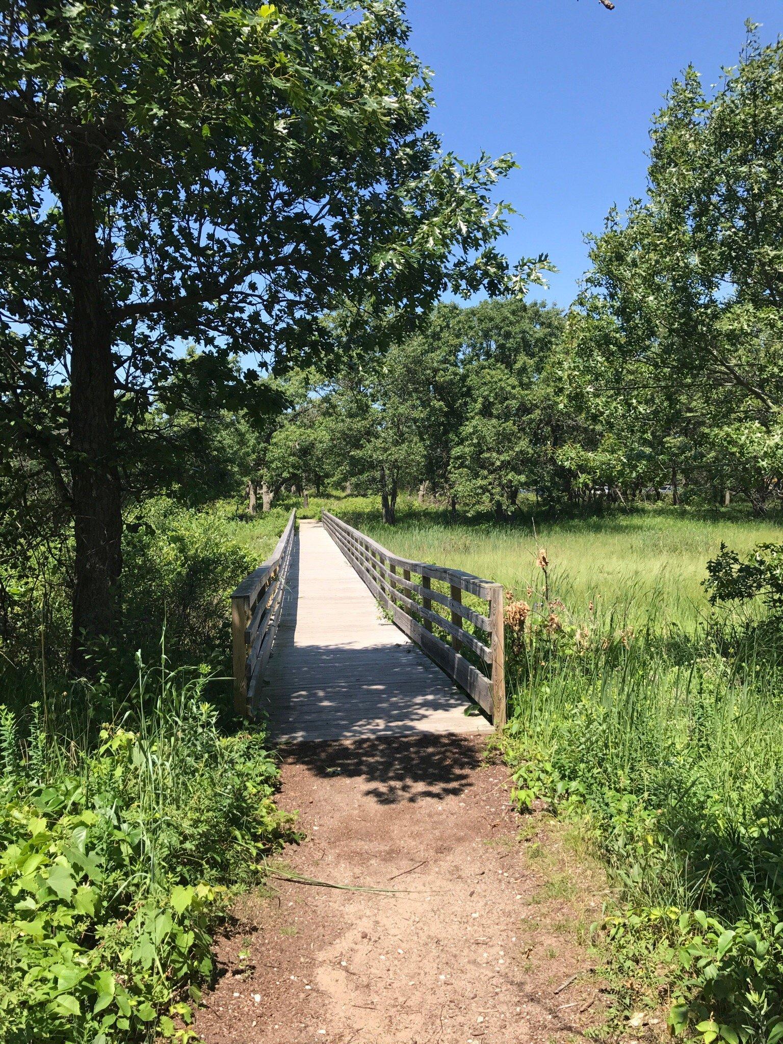
Mount Zion, nestled in the heartland of Illinois, is a small yet charming city known for its tight-knit community and serene landscapes. The city is primarily recognized for its family-friendly atmosphere and robust educational institutions, with the Mount Zion Community Unit School District being a focal point of local pride. The city offers a range of recreational activities, with Spitler Woods State Natural Area providing a lush escape for nature enthusiasts, featuring trails that wind through dense forests and open meadows. Mount Zion is a place where community events and seasonal festivals bring residents together, fostering a sense of belonging and tradition.
Historically, Mount Zion has roots that stretch back to its establishment in the 19th century, reflecting the broader narrative of Midwestern development. The city's history is subtly woven into its architecture and community spaces, offering a glimpse into its past while looking forward to continued growth and modernization. The Mount Zion Convention Center serves as a hub for both local and regional events, underscoring the city's commitment to community engagement and cultural enrichment. Overall, Mount Zion is a city that balances the tranquility of rural life with the conveniences of modern living, making it an appealing destination for both residents and visitors alike.
Nearby cities include: Long Creek, IL, South Wheatland, IL, Dalton City, IL, Decatur, IL, Elwin, IL, Macon, IL, LaPlace, IL, Boody, IL, Hickory Point, IL, Moweaqua, IL.
Places in Zion
Dine and drink
Eat and drink your way through town.
Can't-miss activities
Culture, natural beauty, and plain old fun.
Places to stay
Hang your (vacation) hat in a place that’s just your style.
Advertisement


