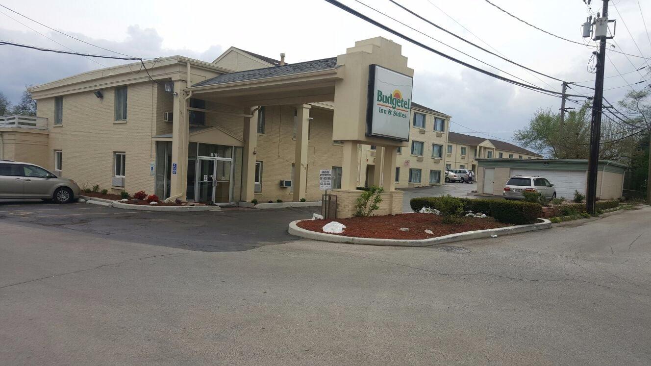
Wheaton, IL
Advertisement
Wheaton, IL Map
Wheaton is a US city in DuPage County in the state of Illinois. Located at the longitude and latitude of -88.108365, 41.856073 and situated at an elevation of 228 meters. In the 2020 United States Census, Wheaton, IL had a population of 53,970 people. Wheaton is in the Central Standard Time timezone at Coordinated Universal Time (UTC) -6. Find directions to Wheaton, IL, browse local businesses, landmarks, get current traffic estimates, road conditions, and more.
Wheaton, located in the state of Illinois, is a city known for its vibrant community and rich historical background. One of its most notable landmarks is the Cantigny Park, which offers beautifully manicured gardens, a fascinating war museum, and the historic Robert R. McCormick House. The park is a tribute to the legacy of Colonel Robert McCormick, the former editor and publisher of the Chicago Tribune. Wheaton is also home to the Wheaton College, a prestigious Christian liberal arts college that has been an integral part of the city since its founding in 1860. The college's campus features the Billy Graham Center Museum, which draws visitors interested in the history of Christian evangelism.
Another popular spot in Wheaton is the Illinois Prairie Path, a multi-use nature trail that provides a scenic route for biking, walking, or jogging through the city and beyond. Downtown Wheaton offers a charming mix of boutiques, restaurants, and cultural attractions, including the historic Wheaton Grand Theater. The city also has a strong community focus, with seasonal events such as the French Market and the annual Fourth of July Parade, which highlight Wheaton's welcoming and family-friendly atmosphere. Overall, Wheaton seamlessly blends its historical roots with vibrant modern-day attractions, making it a unique destination for visitors.
Nearby cities include: Milton, IL, Glen Ellyn, IL, Winfield, IL, Lisle, IL, Warrenville, IL, Glendale Heights, IL, Carol Stream, IL, Winfield, IL, Lombard, IL, Lisle, IL.
Places in Wheaton
Dine and drink
Eat and drink your way through town.
Can't-miss activities
Culture, natural beauty, and plain old fun.
Places to stay
Hang your (vacation) hat in a place that’s just your style.
Advertisement


