Sauget, IL
Advertisement
Sauget, IL Map
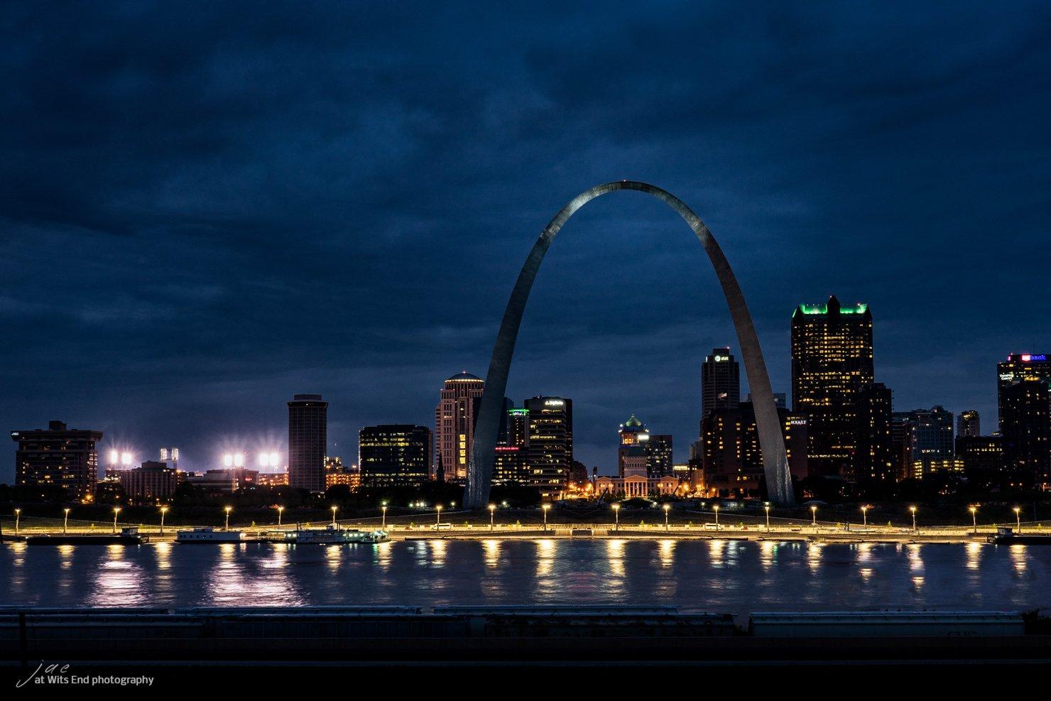
Sauget is a US city in St Clair County in the state of Illinois. Located at the longitude and latitude of -90.166700, 38.586900 and situated at an elevation of 127 meters. In the 2020 United States Census, Sauget, IL had a population of 141 people. Sauget is in the Central Standard Time timezone at Coordinated Universal Time (UTC) -6. Find directions to Sauget, IL, browse local businesses, landmarks, get current traffic estimates, road conditions, and more.
Sauget, Illinois, is a small village that is often recognized for its industrial roots and its unique approach to municipal governance. Established in 1926, originally under the name "Monsanto," the village was created to facilitate the operations of the Monsanto Chemical Company. Sauget is particularly known for its industrial facilities and its strategic location along the Mississippi River, which supports its economic focus on industry and manufacturing.
Despite its industrial reputation, Sauget offers a few notable attractions that draw visitors. The village is home to the GCS Credit Union Ballpark, where the Gateway Grizzlies, a professional baseball team in the Frontier League, play their home games. Another point of interest is the Pop's Nightclub & Concert Venue, a popular spot for live music and nightlife. While Sauget may not be a typical tourist destination, its unique blend of industry and entertainment provides a distinct experience for those who visit.
Nearby cities include: Cahokia, IL, Brooklyn, IL, East Carondelet, IL, Washington Park, IL, Dupo, IL, Fairmont City, IL, Canteen, IL, Venice, IL, Madison, IL, Madison, IL.
Places in Sauget
Dine and drink
Eat and drink your way through town.
Can't-miss activities
Culture, natural beauty, and plain old fun.
Places to stay
Hang your (vacation) hat in a place that’s just your style.
Advertisement


