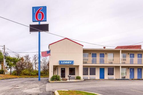
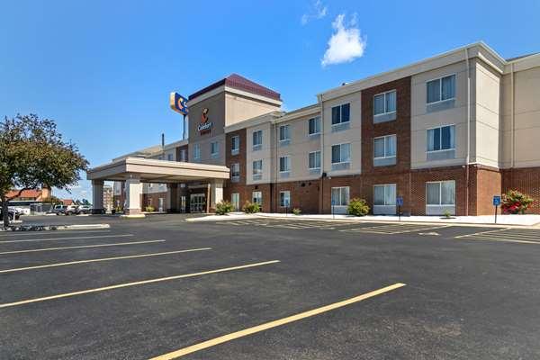
Opdyke, IL
Advertisement
Opdyke, IL Map
Opdyke is a US city in Jefferson County in the state of Illinois. Located at the longitude and latitude of -88.790600, 38.259700 and situated at an elevation of 157 meters. In the 2020 United States Census, Opdyke, IL had a population of 236 people. Opdyke is in the Central Standard Time timezone at Coordinated Universal Time (UTC) -6. Find directions to Opdyke, IL, browse local businesses, landmarks, get current traffic estimates, road conditions, and more.
Opdyke, Illinois, is a small, unincorporated community with a tranquil rural charm that captures the essence of Midwestern life. Known primarily for its agricultural surroundings, Opdyke offers a glimpse into the traditional farming lifestyle that has characterized much of Illinois' history. The community is named after Calhoun Opdyke, a notable figure in the railroad industry, which played a significant role in the area's development during the late 19th century. This historical connection is evident in the town's layout and the remnants of its past, which can still be observed in some of the older structures scattered throughout the area.
While Opdyke may not boast a wide array of popular attractions, its serene environment and close-knit community offer visitors a peaceful retreat from the hustle and bustle of city life. Nearby natural sites provide opportunities for outdoor activities such as hiking and bird watching, allowing visitors to enjoy the region's natural beauty. The local community often hosts small events and gatherings that reflect the town's heritage and foster a sense of camaraderie among residents and visitors alike. Overall, Opdyke is a place where history and rural simplicity come together, offering a unique experience for those seeking to explore the quieter side of Illinois.
Nearby cities include: Pendleton, IL, Belle Rive, IL, Dodds, IL, Bluford, IL, Dahlgren, IL, Bonnie, IL, Mount Vernon, IL, Mount Vernon, IL, Dahlgren, IL, Keenes, IL.
Places in Opdyke
Dine and drink
Eat and drink your way through town.
Can't-miss activities
Culture, natural beauty, and plain old fun.
Places to stay
Hang your (vacation) hat in a place that’s just your style.
Advertisement


