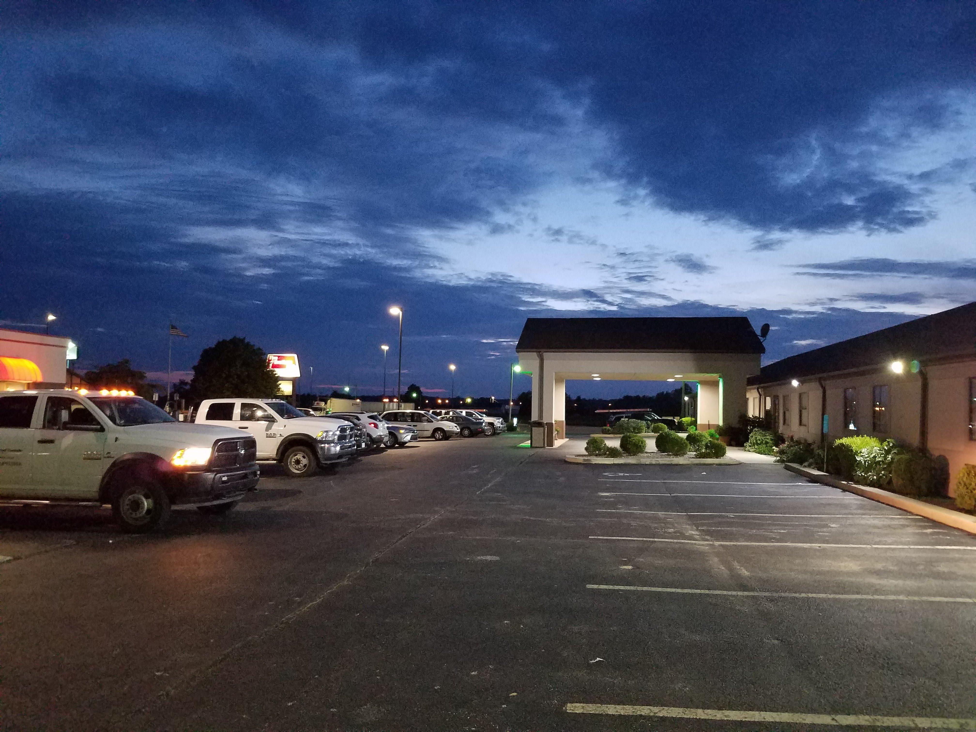
Wayne City, IL
Advertisement
Wayne City, IL Map
Wayne City is a US city in Wayne County in the state of Illinois. Located at the longitude and latitude of -88.590600, 38.346700 and situated at an elevation of 132 meters. In the 2020 United States Census, Wayne City, IL had a population of 994 people. Wayne City is in the Central Standard Time timezone at Coordinated Universal Time (UTC) -6. Find directions to Wayne City, IL, browse local businesses, landmarks, get current traffic estimates, road conditions, and more.
Wayne City, located in Illinois, is a small yet charming locale known for its rich agricultural heritage and tight-knit community atmosphere. The city is often associated with its annual Bean Days festival, a cherished event that celebrates the local farming culture and brings together residents and visitors alike for parades, food, and entertainment. This celebration highlights the city's deep-rooted connection to its agricultural surroundings and its commitment to preserving local traditions.
Among the notable spots in Wayne City, you'll find the Wayne City Community Building, which serves as a hub for various community events and gatherings. For those interested in local history, the Wayne City Heritage Museum offers insights into the city's past and showcases artifacts that tell the story of its development over the years. Despite its modest size, Wayne City exudes a welcoming charm and provides a glimpse into the quintessential Midwestern small-town lifestyle.
Nearby cities include: Keenes, IL, Sims, IL, Arrington, IL, Hickory Hill, IL, Berry, IL, Bluford, IL, Belle Prairie City, IL, Big Mound, IL, Pendleton, IL, Farrington, IL.
Places in Wayne City
Dine and drink
Eat and drink your way through town.
Can't-miss activities
Culture, natural beauty, and plain old fun.
Places to stay
Hang your (vacation) hat in a place that’s just your style.
Advertisement


