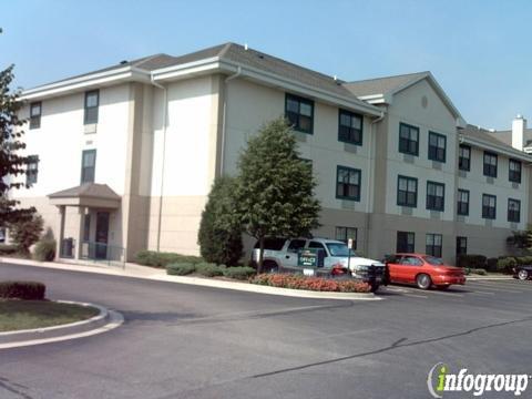
Streamwood, IL
Advertisement
Streamwood, IL Map
Streamwood is a US city in Cook County in the state of Illinois. Located at the longitude and latitude of -88.173300, 42.020600 and situated at an elevation of 246 meters. In the 2020 United States Census, Streamwood, IL had a population of 39,577 people. Streamwood is in the Central Standard Time timezone at Coordinated Universal Time (UTC) -6. Find directions to Streamwood, IL, browse local businesses, landmarks, get current traffic estimates, road conditions, and more.
Streamwood, Illinois, a village nestled in the northwest suburbs of Chicago, is best known for its welcoming residential character and community-oriented lifestyle. Established in the 1950s, it has grown into a vibrant area with a variety of amenities for residents and visitors alike. One of its standout features is the Hoosier Grove Park, home to the Streamwood Park District's community center, a picturesque barn often used for events, and a quaint museum that offers a glimpse into the area's past. The park is a hub for local activities and events, making it a focal point of community life.
For those seeking outdoor activities, the Poplar Creek Forest Preserve offers ample opportunities for hiking, biking, and bird-watching, with its lush landscapes and serene trails. Streamwood is also recognized for its commitment to maintaining green spaces, which is evident in the numerous parks scattered throughout the village. Additionally, the Streamwood Stride, an annual race, draws participants from across the region, highlighting the village's active lifestyle. With its combination of community spirit, outdoor attractions, and a touch of historical charm, Streamwood provides a pleasant suburban experience.
Nearby cities include: Bartlett, IL, Hanover Park, IL, Hoffman Estates, IL, South Barrington, IL, Schaumburg, IL, Roselle, IL, Elgin, IL, Barrington, IL, Bloomingdale, IL, Wayne, IL.
Places in Streamwood
Dine and drink
Eat and drink your way through town.
Can't-miss activities
Culture, natural beauty, and plain old fun.
Places to stay
Hang your (vacation) hat in a place that’s just your style.
Advertisement


