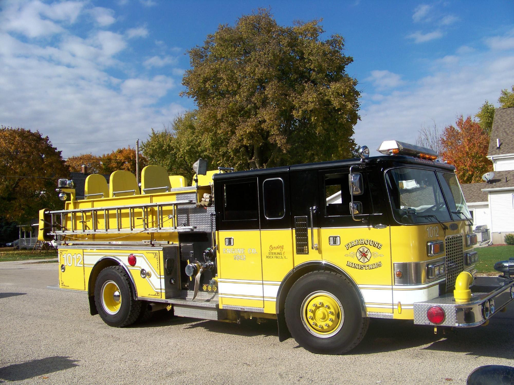
Rock Falls, IL
Advertisement
Rock Falls, IL Map
Rock Falls is a US city in Whiteside County in the state of Illinois. Located at the longitude and latitude of -89.692712, 41.772376 and situated at an elevation of 197 meters. In the 2020 United States Census, Rock Falls, IL had a population of 8,789 people. Rock Falls is in the Central Standard Time timezone at Coordinated Universal Time (UTC) -6. Find directions to Rock Falls, IL, browse local businesses, landmarks, get current traffic estimates, road conditions, and more.
Rock Falls, located in Illinois, is a city that embraces its rich history and natural beauty. Known for its strategic position along the Rock River, the city has historically been a hub for industry and transportation. The Hennepin Canal Parkway, a notable historical feature, offers a glimpse into the past with its origins dating back to the late 19th century as a crucial waterway for commerce. Visitors can explore the canal's scenic trails, perfect for hiking, biking, and fishing, providing a serene escape into nature.
Among the city's popular attractions is the Sinnissippi Mounds, an archaeological site that offers insights into the area's Native American heritage. For those interested in recreational activities, Centennial Park provides ample space for picnics, sports, and relaxation. The city's commitment to preserving its history while fostering community spirit is evident in its annual events and festivals, which celebrate local culture and bring residents and visitors together. Rock Falls is a city where history and nature converge, offering a welcoming environment for all who pass through.
Nearby cities include: Coloma, IL, Sterling, IL, Galt, IL, Montmorency, IL, Nelson, IL, Hopkins, IL, Nelson, IL, Hume, IL, Harmon, IL, Jordan, IL.
Places in Rock Falls
Dine and drink
Eat and drink your way through town.
Can't-miss activities
Culture, natural beauty, and plain old fun.
Places to stay
Hang your (vacation) hat in a place that’s just your style.
Advertisement


