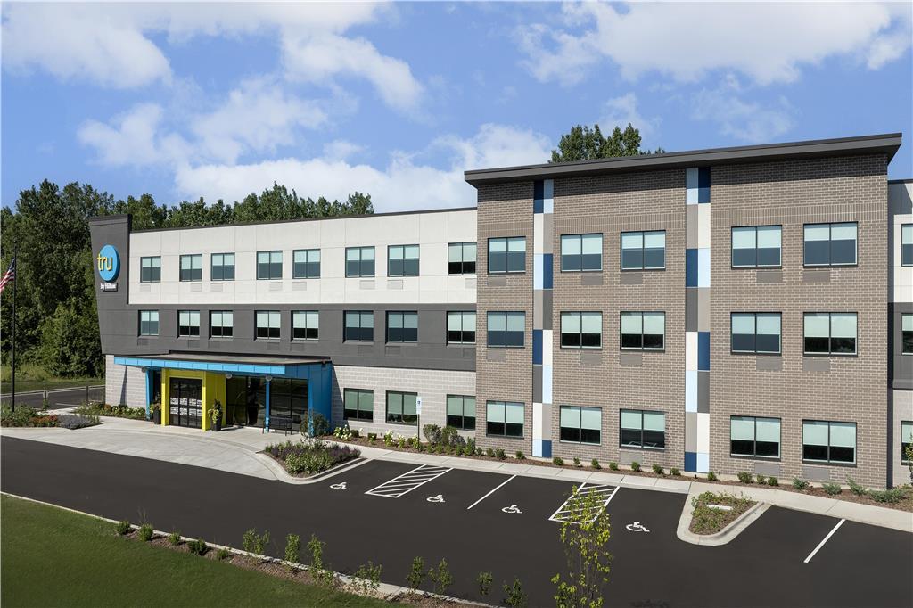
Lockport, IL
Advertisement
Lockport Map
Lockport is a city in Will County, Illinois, United States, that incorporated in 1853. Lockport is located in northeastern Illinois, 30 miles southwest of Chicago, and north of Joliet, at locks connecting Chicago Sanitary and Ship Canal with the Des Plaines River via the Lockport Powerhouse.
Lockport was the headquarters of the operationally defunct Illinois and Michigan Canal. A section of the canal runs through Lockport, including the remains of the canal's Lock No. 1 from which the town received its name. The canal right-of-way is now the Illinois and Michigan National Heritage Corridor.
Lockport is located at 41°35?19?N 88°2?50?W / 41.58861°N 88.04722°W / 41.58861; -88.04722 (41.588659, -88.047267).
Nearby cities include Mokena, Orland Park, Orland Hills, Woodridge, Darien.
Places in Lockport
Dine and drink
Eat and drink your way through town.
Can't-miss activities
Culture, natural beauty, and plain old fun.
Places to stay
Hang your (vacation) hat in a place that’s just your style.
Advertisement


