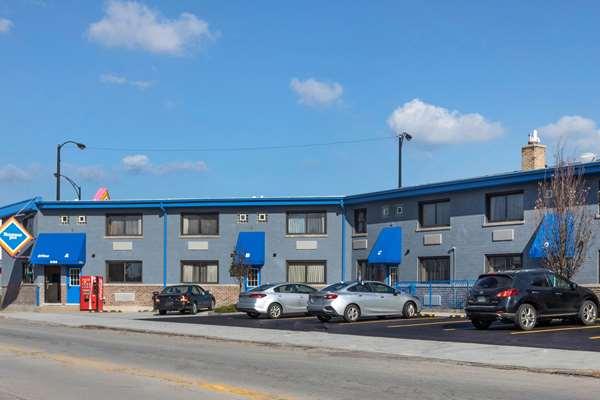
Lincolnwood, IL
Advertisement
Lincolnwood, IL Map
Lincolnwood is a US city in Cook County in the state of Illinois. Located at the longitude and latitude of -87.734200, 42.005300 and situated at an elevation of 185 meters. In the 2020 United States Census, Lincolnwood, IL had a population of 13,463 people. Lincolnwood is in the Central Standard Time timezone at Coordinated Universal Time (UTC) -6. Find directions to Lincolnwood, IL, browse local businesses, landmarks, get current traffic estimates, road conditions, and more.
Lincolnwood, located in Illinois, is a suburban enclave known for its blend of residential charm and commercial vitality. The city has a rich history dating back to its incorporation in 1922, and it has grown into a community that balances its historical roots with modern development. Lincolnwood is particularly known for its diverse cultural heritage and vibrant community life, which is reflected in its local events and festivals. The city offers a serene environment with tree-lined streets and well-maintained parks, making it an attractive place for families and individuals seeking a quieter lifestyle close to the bustling city of Chicago.
A popular destination within Lincolnwood is the Lincolnwood Town Center, a shopping mall that serves as a retail hub for the area, featuring a variety of stores and dining options. For those interested in outdoor activities, the city's Proesel Park is a significant draw, offering facilities like a swimming pool, tennis courts, and picnic areas. Additionally, the Lincolnwood Centennial Park provides a picturesque setting with walking trails and green spaces. The city's commitment to community and recreation is evident in its well-kept public amenities and its active participation in fostering a welcoming environment for both residents and visitors alike.
Nearby cities include: Skokie, IL, Evanston, IL, Morton Grove, IL, Edgewater, IL, Niles, IL, Harwood Heights, IL, Golf, IL, Norwood Park, IL, Wilmette, IL, Norridge, IL.
Places in Lincolnwood
Dine and drink
Eat and drink your way through town.
Can't-miss activities
Culture, natural beauty, and plain old fun.
Places to stay
Hang your (vacation) hat in a place that’s just your style.
Advertisement


