Kewanee, IL
Advertisement
Kewanee, IL Map
Kewanee is a US city in Henry County in the state of Illinois. Located at the longitude and latitude of -89.924722, 41.245556 and situated at an elevation of 244 meters. In the 2020 United States Census, Kewanee, IL had a population of 12,509 people. Kewanee is in the Central Standard Time timezone at Coordinated Universal Time (UTC) -6. Find directions to Kewanee, IL, browse local businesses, landmarks, get current traffic estimates, road conditions, and more.
Kewanee, Illinois, is affectionately known as the "Hog Capital of the World," a title it earned due to its rich history in pork production and annual Hog Days Festival. This small city offers a quaint Midwestern charm and a sense of community that welcomes visitors with open arms. The festival, held every Labor Day weekend, features a variety of events including a parade, carnival rides, and, of course, plenty of pork-centric dishes. Kewanee's agricultural roots are evident throughout the city, with its landscape dotted by expanses of farmland that provide a serene backdrop for a leisurely visit.
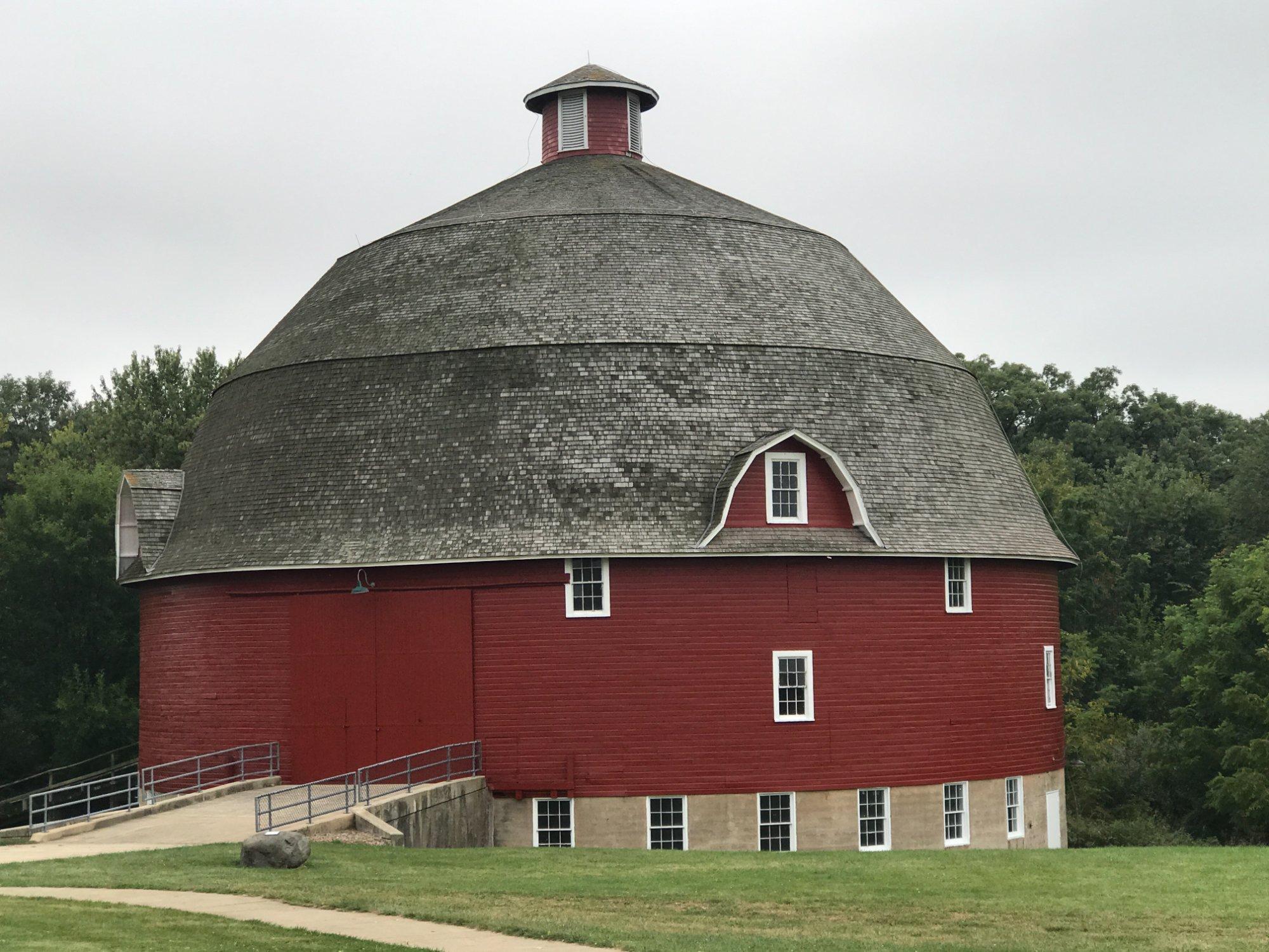
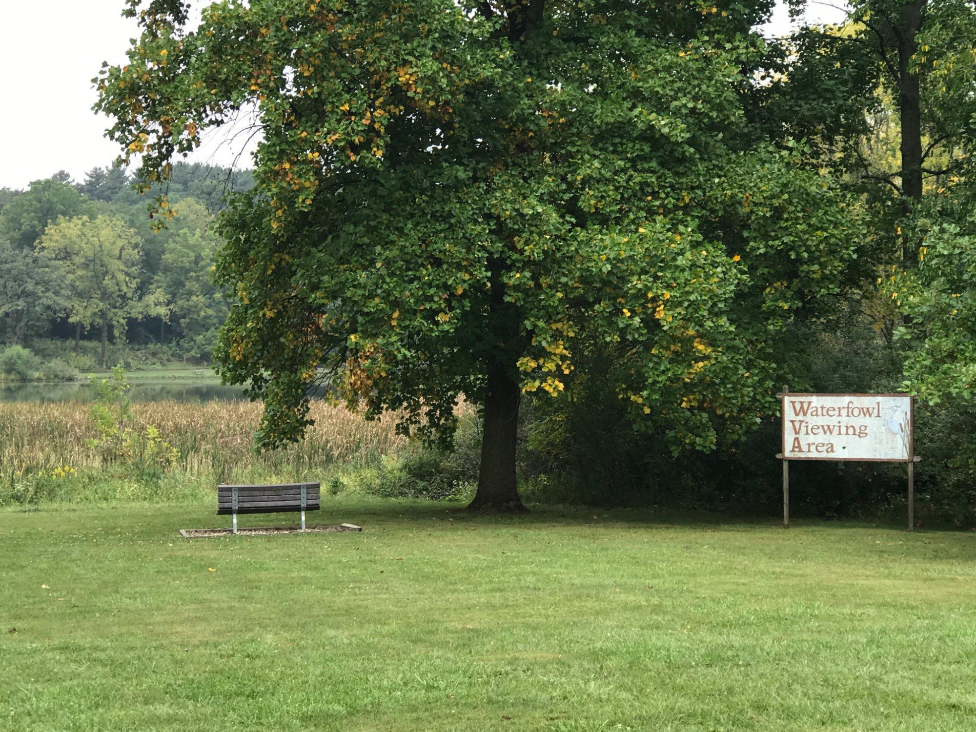
For those interested in history and architecture, Kewanee boasts several notable sites, such as the Kewanee Historical Society Museum, which offers a glimpse into the city's past with exhibits on local industry and daily life in earlier times. The Flemish Renaissance-style Carnegie Library, now serving as the Kewanee Public Library, stands as a testament to the city's commitment to education and community service. Outdoor enthusiasts can enjoy the beautiful Baker Park, which provides an array of recreational activities, including golf, walking trails, and picnic areas, making it a perfect spot for relaxation and family outings.
Nearby cities include: Kewanee, IL, Wethersfield, IL, Burns, IL, Galva, IL, Neponset, IL, Galva, IL, Annawan, IL, La Fayette, IL, Goshen, IL, Mineral, IL.
Places in Kewanee
Dine and drink
Eat and drink your way through town.
Can't-miss activities
Culture, natural beauty, and plain old fun.
Places to stay
Hang your (vacation) hat in a place that’s just your style.
Advertisement


