Ellis Grove, IL
Advertisement
Ellis Grove, IL Map
Ellis Grove is a US city in Randolph County in the state of Illinois. Located at the longitude and latitude of -89.908100, 38.010300 and situated at an elevation of 166 meters. In the 2020 United States Census, Ellis Grove, IL had a population of 328 people. Ellis Grove is in the Central Standard Time timezone at Coordinated Universal Time (UTC) -6. Find directions to Ellis Grove, IL, browse local businesses, landmarks, get current traffic estimates, road conditions, and more.
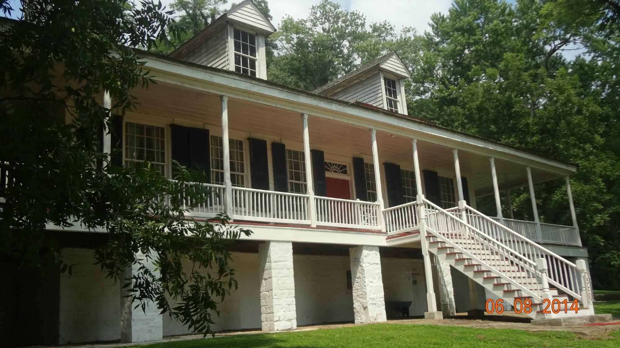
Ellis Grove, located in Illinois, is a quaint and historically rich area known primarily for its proximity to Fort Kaskaskia State Historic Site. This site is a significant attraction, offering visitors a glimpse into the past with remnants of an 18th-century fort that played a pivotal role in the region's early history. Visitors to Ellis Grove often explore the scenic views of the Mississippi River from the fort's vantage points, making it a popular spot for both history buffs and nature enthusiasts.
Another notable site in Ellis Grove is the nearby Kaskaskia Bell State Memorial, home to the "Liberty Bell of the West," which commemorates the town of Kaskaskia's role in American history. The bell, once rung to celebrate the freedom of the territory from British rule, is a draw for those interested in the early narratives of American independence. Together, these sites provide a comprehensive look into the area's historical significance, making Ellis Grove a destination that appeals to those interested in the layered stories of America's past.
Nearby cities include: Evansville, IL, Kaskaskia, IL, Chester, IL, Ruma, IL, Prairie du Rocher, IL, Lithium, MO, Baldwin, IL, Steeleville, IL, Sparta, IL, Red Bud, IL.
Places in Ellis Grove
Dine and drink
Eat and drink your way through town.
Can't-miss activities
Culture, natural beauty, and plain old fun.
Places to stay
Hang your (vacation) hat in a place that’s just your style.
Advertisement


