


Heyburn, ID
Advertisement
Heyburn, ID Map
Heyburn is a US city in Minidoka County in the state of Idaho. Located at the longitude and latitude of -113.763000, 42.556100 and situated at an elevation of 1,266 meters. In the 2020 United States Census, Heyburn, ID had a population of 3,700 people. Heyburn is in the Mountain Standard Time timezone at Coordinated Universal Time (UTC) -7. Find directions to Heyburn, ID, browse local businesses, landmarks, get current traffic estimates, road conditions, and more.
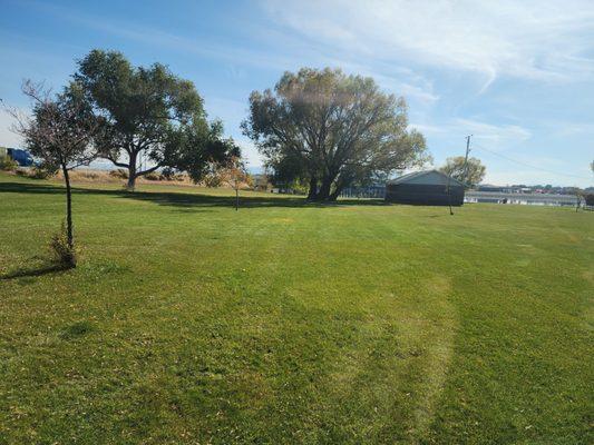
Heyburn, located in the state of Idaho, is a charming city known for its scenic beauty and small-town appeal. It is nestled along the Snake River, which offers ample opportunities for outdoor activities such as fishing, boating, and picnicking. The city's Riverside Park is a popular spot for both locals and visitors, providing picturesque views and a tranquil setting for relaxation. Additionally, the nearby Heyburn State Park, though not directly within the city, is Idaho's oldest state park and offers trails for hiking and biking, making it a favorite destination for nature enthusiasts.
Historically, Heyburn has roots tied to the development of the railroad in the early 20th century, which significantly contributed to its growth and establishment. The city is named after Weldon B. Heyburn, a U.S. Senator instrumental in Idaho's early development. While Heyburn maintains a quiet and laid-back atmosphere, its historical significance and natural surroundings make it an appealing destination for those looking to explore the heart of Idaho. Whether you're interested in history or simply want to enjoy the great outdoors, Heyburn offers a slice of Idaho's rich cultural and natural heritage.
Nearby cities include: Burley, ID, Paul, ID, Rupert, ID, Declo, ID, Acequia, ID, Albion, ID, Hazelton, ID, Minidoka, ID, Murtaugh, ID, Oakley, ID.
Places in Heyburn
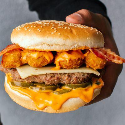
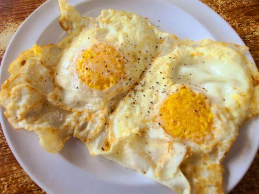
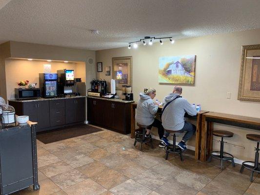
Dine and drink
Eat and drink your way through town.


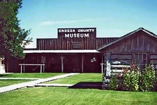
Can't-miss activities
Culture, natural beauty, and plain old fun.


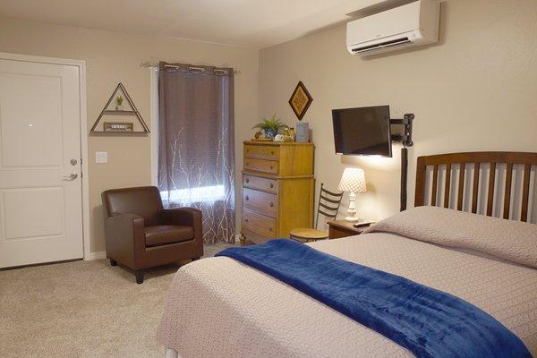
Places to stay
Hang your (vacation) hat in a place that’s just your style.

Advertisement