


Bonners Ferry, ID
Advertisement
Bonners Ferry, ID Map
Bonners Ferry is a US city in Boundary County in the state of Idaho. Located at the longitude and latitude of -116.317500, 48.692222 and situated at an elevation of 578 meters. In the 2020 United States Census, Bonners Ferry, ID had a population of 2,520 people. Bonners Ferry is in the Pacific Standard Time timezone at Coordinated Universal Time (UTC) -8. Find directions to Bonners Ferry, ID, browse local businesses, landmarks, get current traffic estimates, road conditions, and more.
Bonners Ferry, located in the picturesque northern part of Idaho, is a charming city known for its rich history and scenic landscapes. This city traces its roots back to the late 19th century when it served as a vital crossing point for prospectors heading to the Canadian goldfields. Today, Bonners Ferry has evolved into a peaceful community that attracts visitors with its natural beauty and small-town charm. Nestled along the Kootenai River and surrounded by the lush forests of the Kootenai National Wildlife Refuge, it offers ample opportunities for outdoor enthusiasts to engage in activities such as hiking, bird-watching, and fishing.
Among the popular places to visit in Bonners Ferry is the Boundary County Museum, which provides an insightful look into the area's history and cultural heritage. The downtown area, with its quaint shops and local eateries, invites visitors to explore its unique offerings and friendly atmosphere. For those seeking a spiritual or reflective experience, the nearby Moyie Springs and its stunning waterfall offer a serene escape into nature. Bonners Ferry is also known for its vibrant community events, including the annual Kootenai River Days, which celebrate the city's heritage and foster a strong sense of community spirit.
Nearby cities include: Moyie Springs, ID, Troy, MT, Kootenai, ID, Coolin, ID, Ponderay, ID, Hope, ID, Sandpoint, ID, East Hope, ID, Dover, ID, Clark Fork, ID.
Places in Bonners Ferry
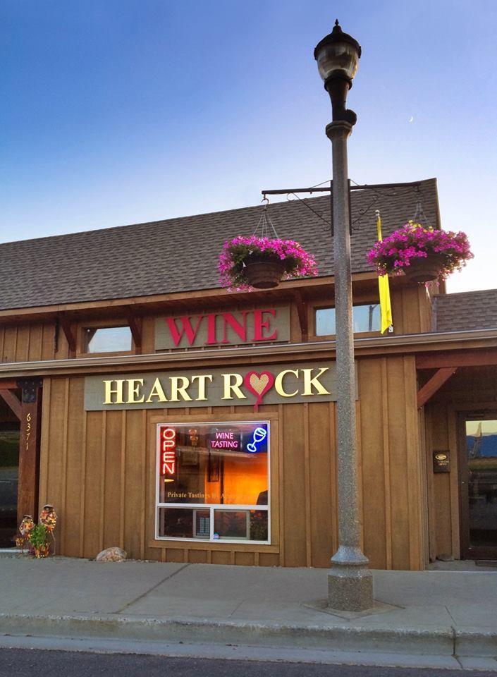
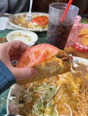
Dine and drink
Eat and drink your way through town.


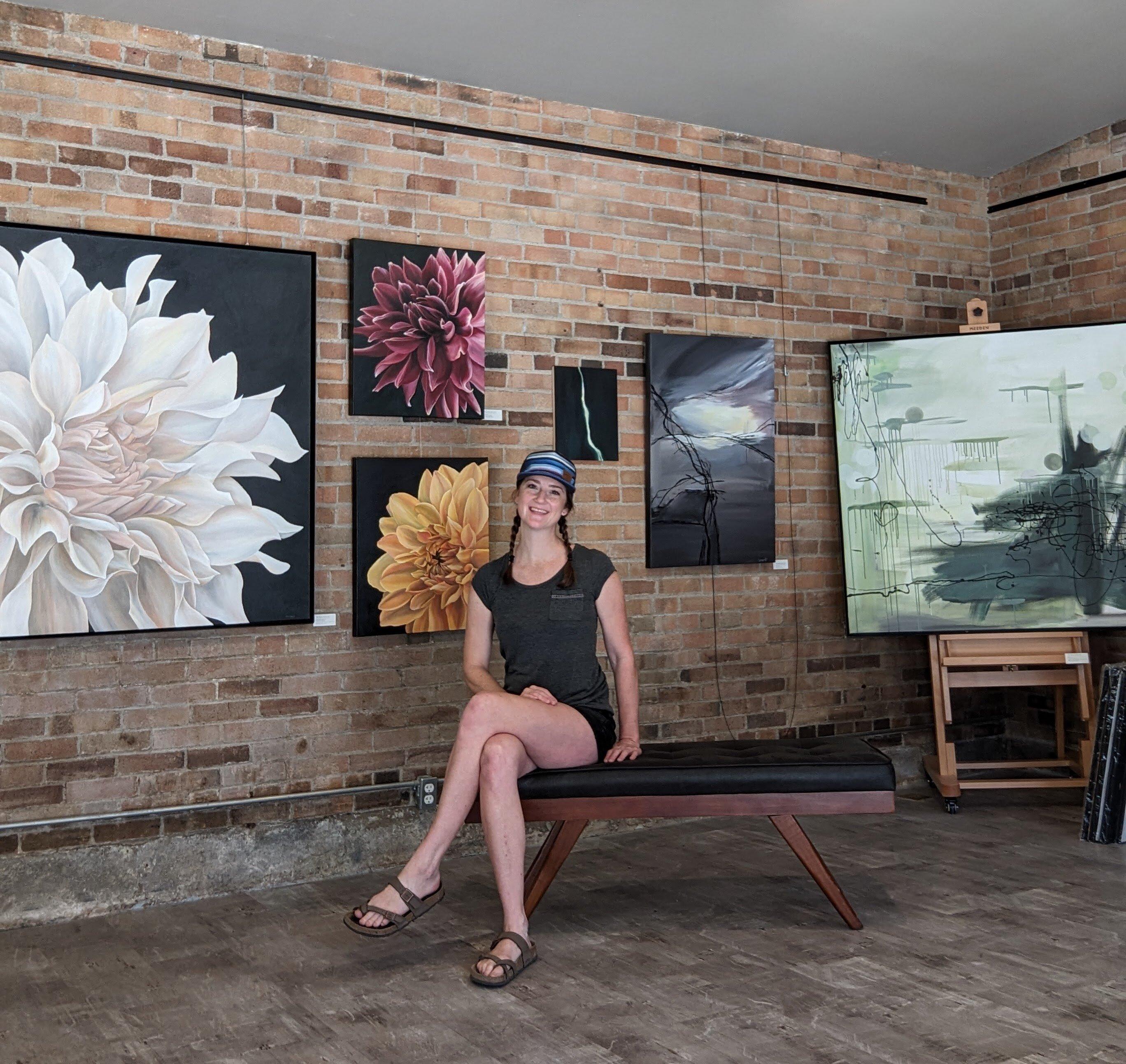
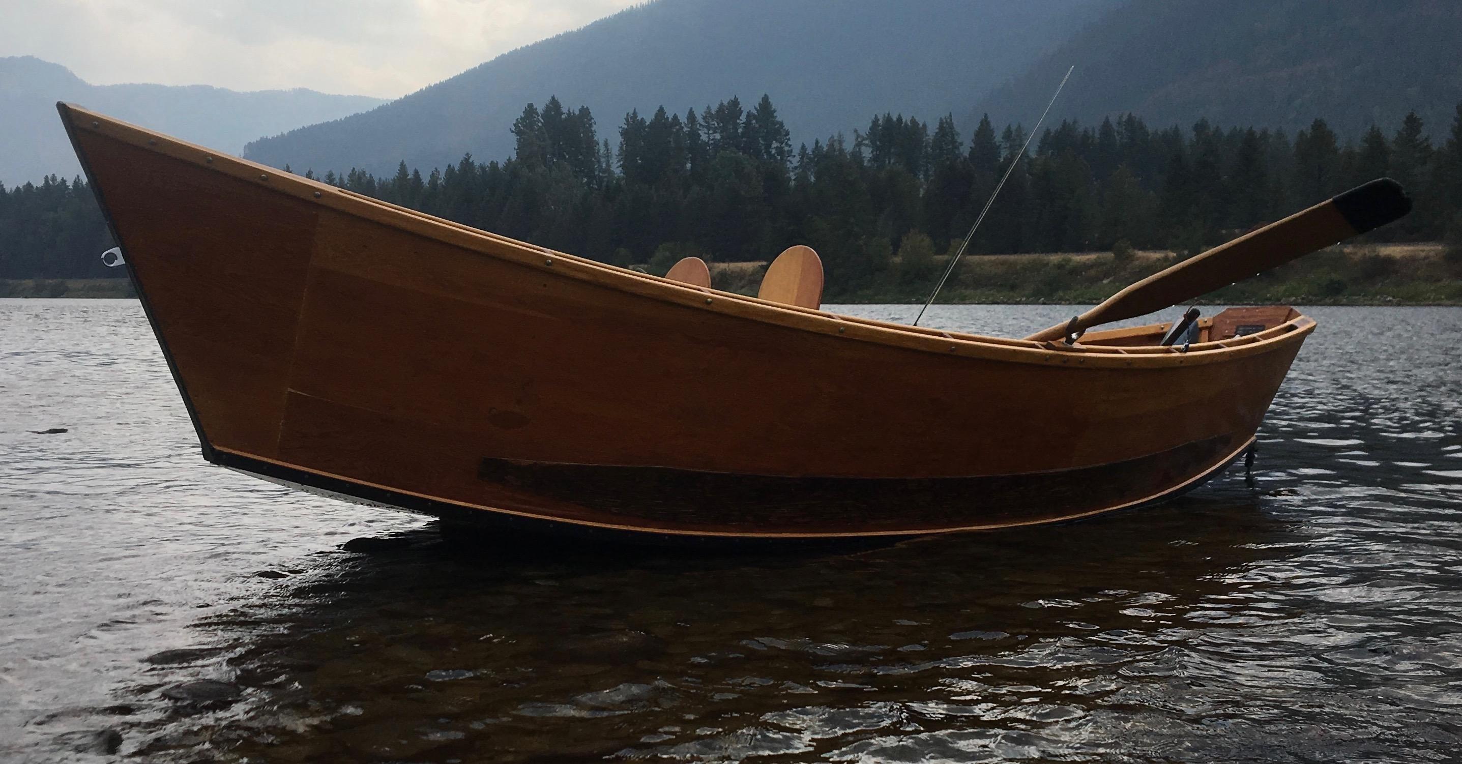
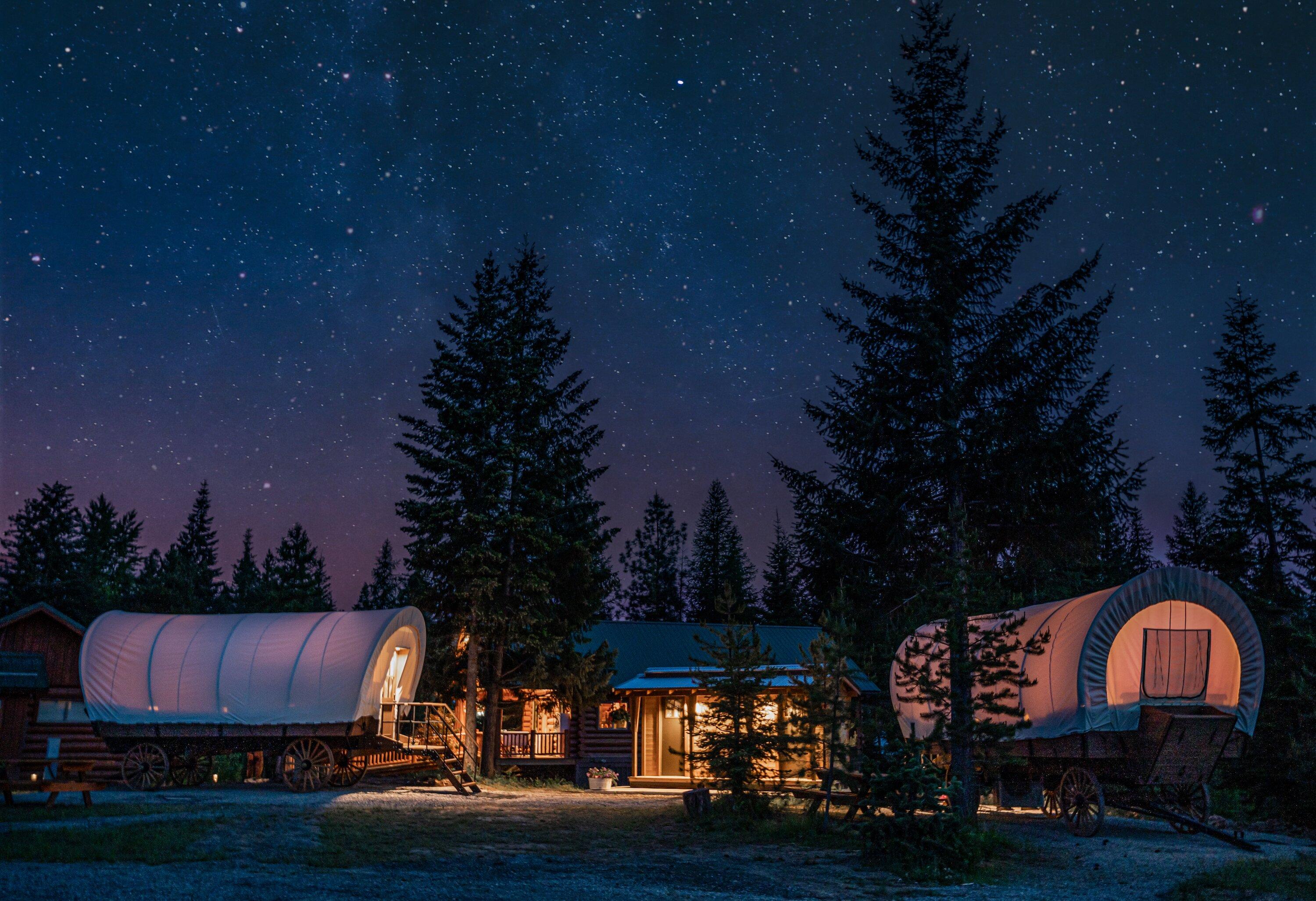
Can't-miss activities
Culture, natural beauty, and plain old fun.


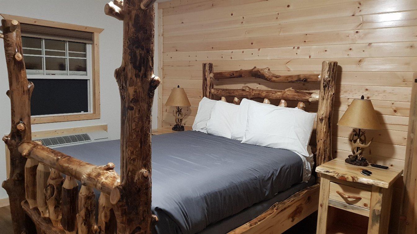
Places to stay
Hang your (vacation) hat in a place that’s just your style.


Advertisement