Postville, IA
Advertisement
Postville, IA Map
Postville is a US city in Allamakee County in the state of Iowa. Located at the longitude and latitude of -91.569444, 43.085000 and situated at an elevation of 360 meters. In the 2020 United States Census, Postville, IA had a population of 2,503 people. Postville is in the Central Standard Time timezone at Coordinated Universal Time (UTC) -6. Find directions to Postville, IA, browse local businesses, landmarks, get current traffic estimates, road conditions, and more.
Postville, located in Iowa, is a small city known for its unique multicultural tapestry, largely due to its diverse population. This diversity is reflected in the city's local cuisine, cultural events, and community spirit. One of the most notable landmarks in Postville is St. Bridget Catholic Church, a historic site that serves as a testament to the city's deep-rooted history and community values. Additionally, Postville is known for its connection to agriculture and the meatpacking industry, which has shaped much of its economic landscape over the years.
Visitors to Postville can explore the city's charming downtown area, where local shops and eateries offer a taste of the community's multifaceted heritage. The annual Taste of Postville event is a highlight, celebrating the city's cultural diversity through food, music, and dance. The city's history is also marked by its role as a melting pot of cultures, which began in earnest during the late 20th century as people from various backgrounds settled in the area. This blend of traditions and stories makes Postville a unique spot in Iowa, offering a glimpse into a small town with a global perspective.
Nearby cities include: Grand Meadow, IA, Clermont, IA, Castalia, IA, Luana, IA, Clermont, IA, Franklin, IA, Marion, IA, Monona, IA, Elgin, IA, Pleasant Valley, IA.
Places in Postville
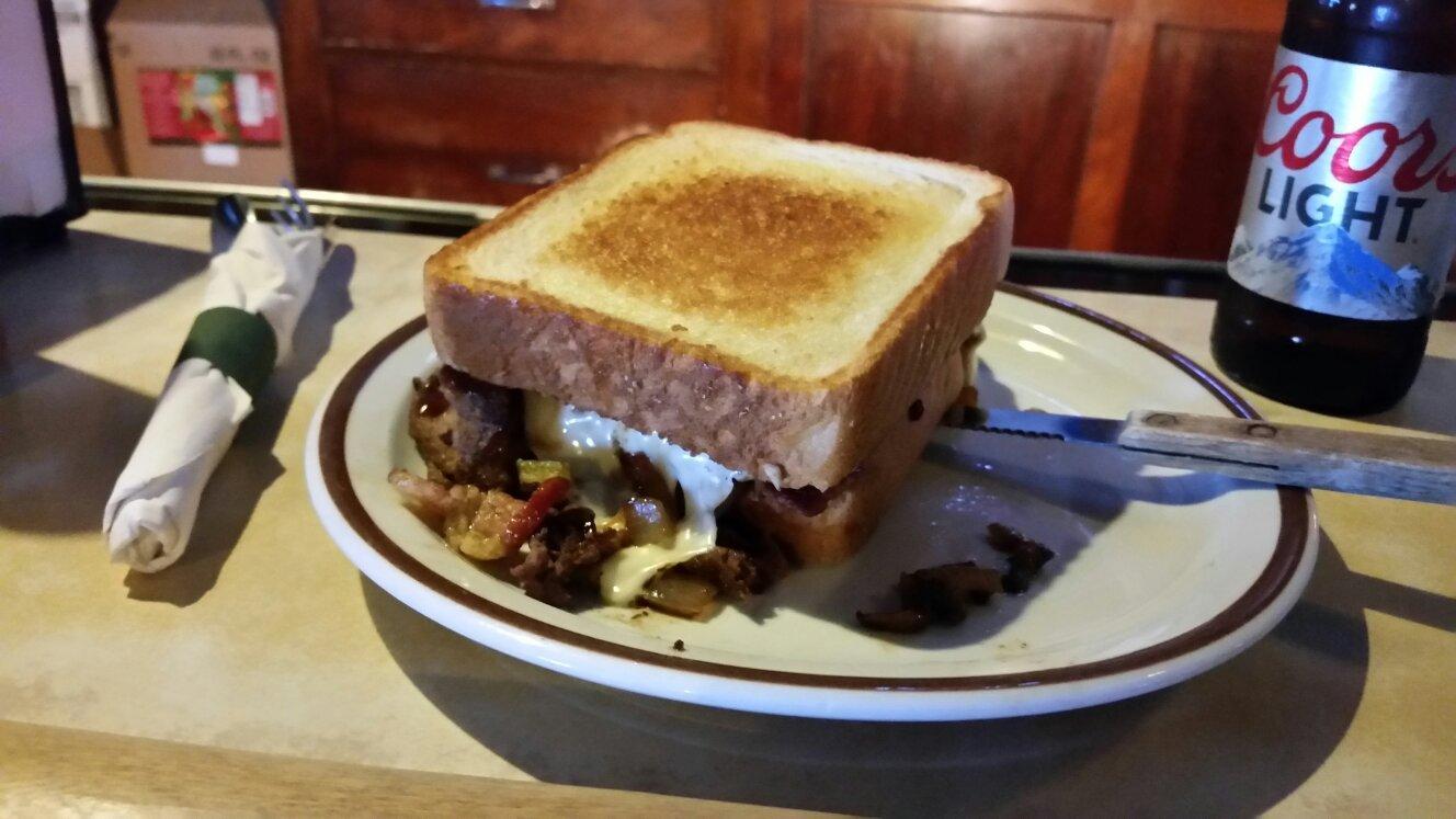
Dine and drink
Eat and drink your way through town.
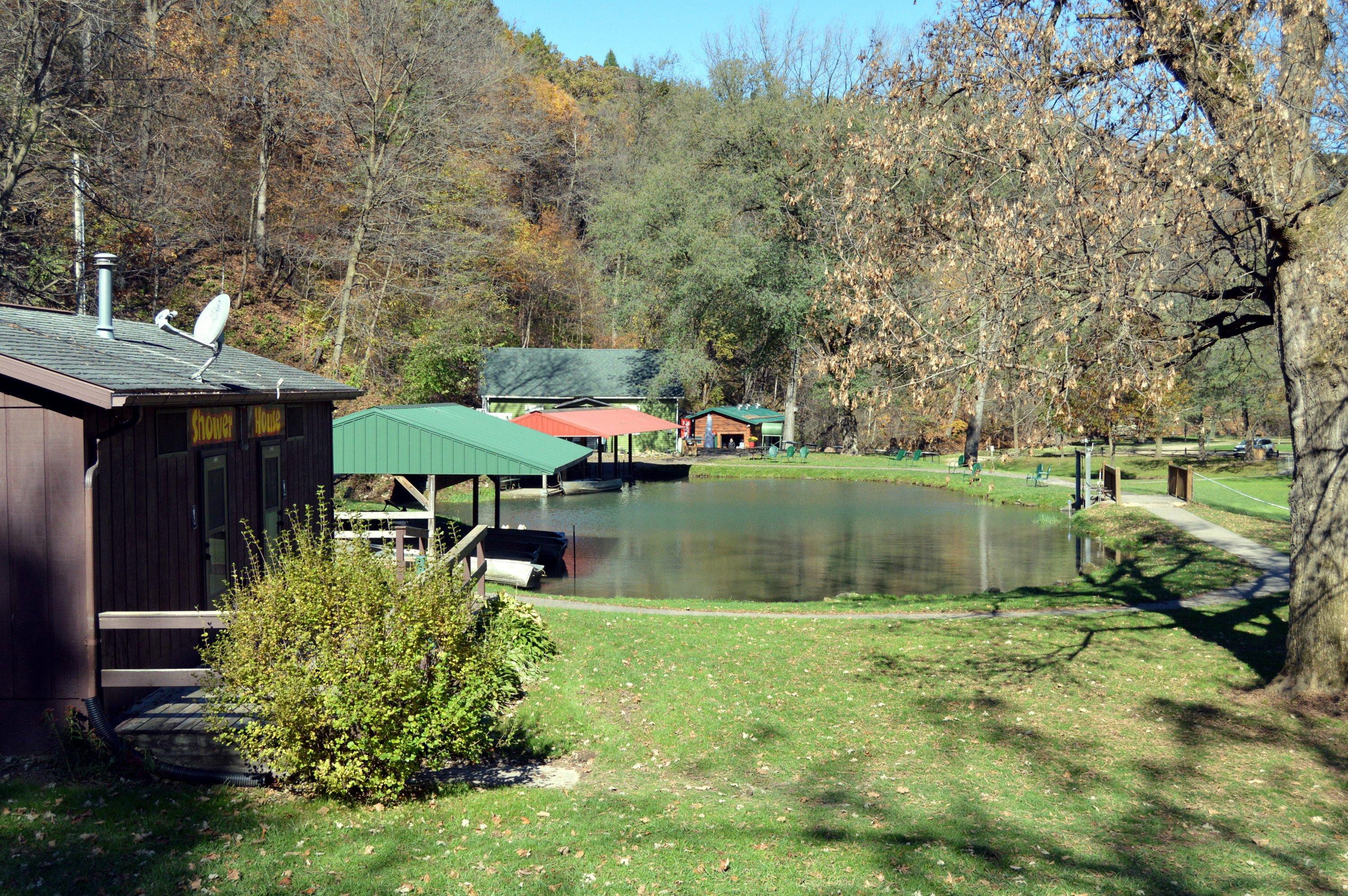
Can't-miss activities
Culture, natural beauty, and plain old fun.
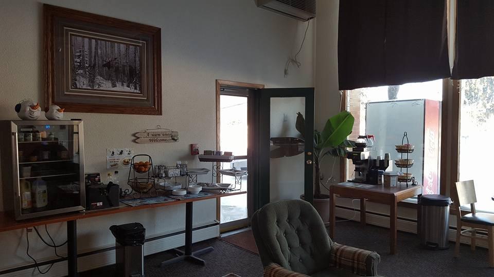
Places to stay
Hang your (vacation) hat in a place that’s just your style.
Advertisement


