


Ocheyedan, IA
Advertisement
Ocheyedan, IA Map
Ocheyedan is a US city in Osceola County in the state of Iowa. Located at the longitude and latitude of -95.535278, 43.414444 and situated at an elevation of 480 meters. In the 2020 United States Census, Ocheyedan, IA had a population of 439 people. Ocheyedan is in the Central Standard Time timezone at Coordinated Universal Time (UTC) -6. Find directions to Ocheyedan, IA, browse local businesses, landmarks, get current traffic estimates, road conditions, and more.
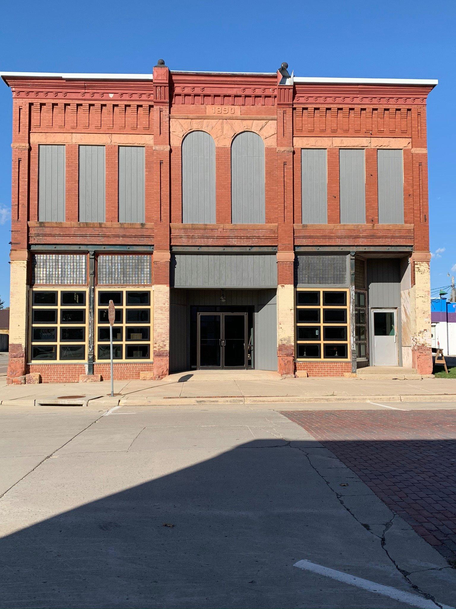
Ocheyedan, a charming city in Iowa, is best known for its connection to the Great Plains and its unique geographical feature, the Ocheyedan Mound. This mound is a natural elevation that offers visitors a glimpse into the region's glacial history and serves as a popular spot for hiking and enjoying panoramic views of the surrounding landscape. The city exudes a small-town charm, making it an ideal stop for travelers interested in experiencing the tranquil pace of rural Iowa life.
Historically, Ocheyedan has roots that trace back to the late 19th century, and it has maintained its agricultural heritage over the years. Visitors often explore the local parks and the historic downtown area, which showcase the city’s enduring community spirit. While it may not boast a plethora of attractions, Ocheyedan's appeal lies in its simplicity and the warm hospitality of its residents, making it a pleasant detour for those traveling through the region.
Nearby cities include: Harris, IA, Indian Lake, MN, Round Lake, MN, Melvin, IA, Bigelow, MN, Sibley, IA, Silver Lake, IA, Lake Park, IA, Westport, IA, Worthington, MN.
Places in Ocheyedan
Dine and drink
Eat and drink your way through town.


Can't-miss activities
Culture, natural beauty, and plain old fun.


Places to stay
Hang your (vacation) hat in a place that’s just your style.


Advertisement