


Mount Ayr, IA
Advertisement
Mount Ayr, IA Map
Mount Ayr is a US city in Ringgold County in the state of Iowa. Located at the longitude and latitude of -94.236900, 40.714200 and situated at an elevation of 372 meters. In the 2020 United States Census, Mount Ayr, IA had a population of 1,623 people. Mount Ayr is in the Central Standard Time timezone at Coordinated Universal Time (UTC) -6. Find directions to Mount Ayr, IA, browse local businesses, landmarks, get current traffic estimates, road conditions, and more.
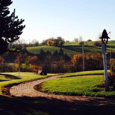
Mount Ayr, located in the state of Iowa, is a small city that offers a quaint and welcoming atmosphere, making it an ideal destination for those seeking a slice of Midwestern charm. The city is perhaps best known for its rich agricultural surroundings and tight-knit community spirit. Visitors to Mount Ayr can explore the historic town square, which serves as the heart of the city, featuring a variety of local businesses and eateries that provide a taste of local culture and hospitality. The town square often hosts community events that showcase the area's strong sense of tradition and camaraderie.
Among the notable attractions in Mount Ayr is Judge Lewis Park, a favored spot for outdoor enthusiasts, offering well-maintained walking paths, picnic areas, and playgrounds for families to enjoy. For those interested in history, the Mount Ayr Depot Museum provides insight into the city's past, with exhibits that highlight the importance of the railroad in the area's development. Whether you're passing through or planning a longer stay, Mount Ayr's blend of history, community, and rural beauty makes it a charming destination worth exploring.
Nearby cities include: Benton, IA, Delphos, IA, Diagonal, IA, Maloy, IA, Kellerton, IA, Tingley, IA, Redding, IA, Ellston, IA, Beaconsfield, IA, Shannon City, IA.
Places in Mount Ayr
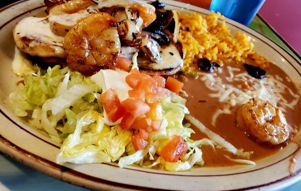
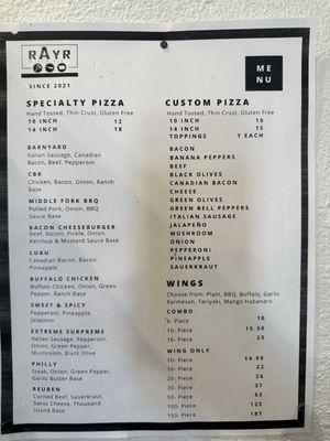
Dine and drink
Eat and drink your way through town.

Can't-miss activities
Culture, natural beauty, and plain old fun.
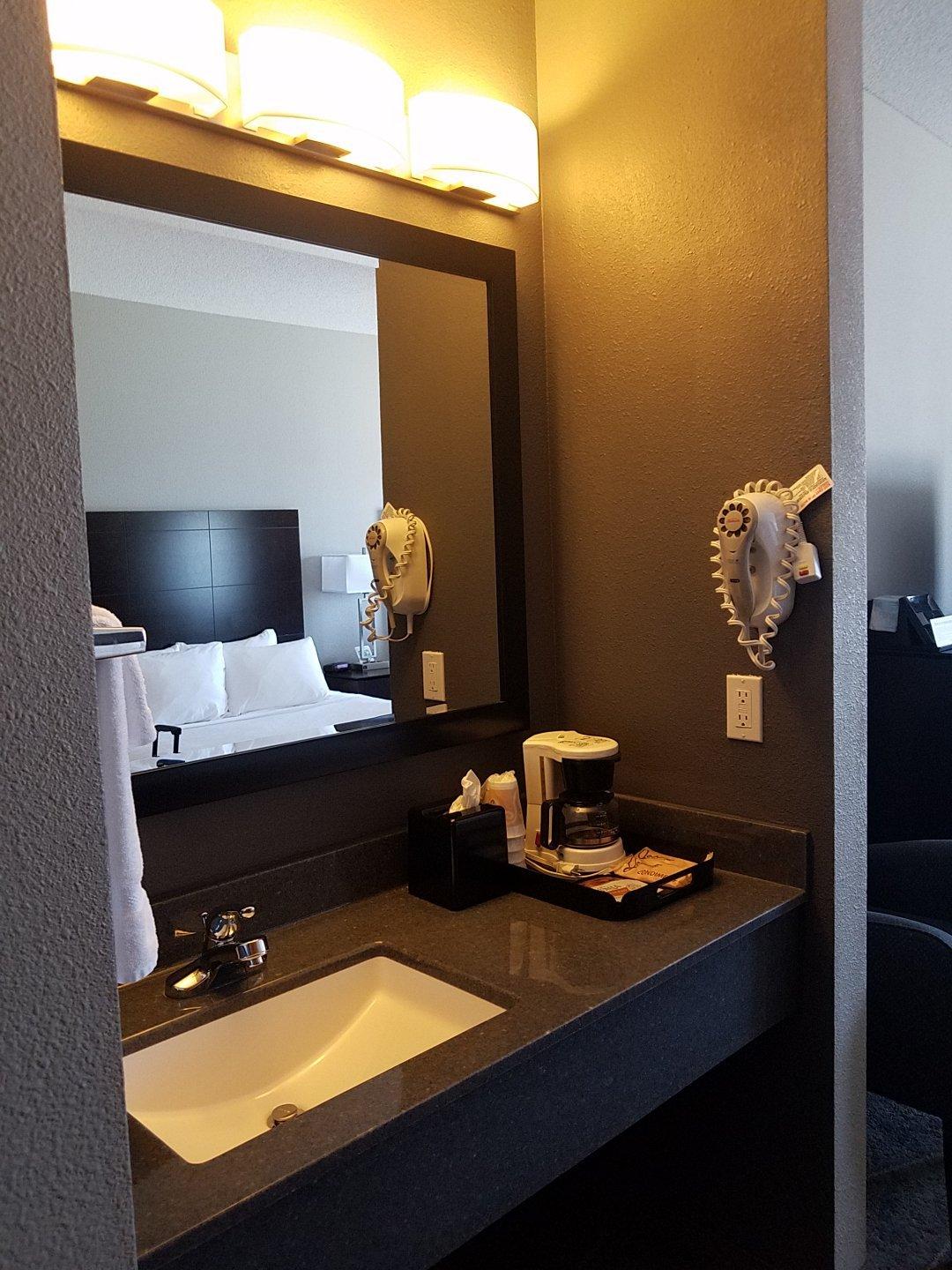
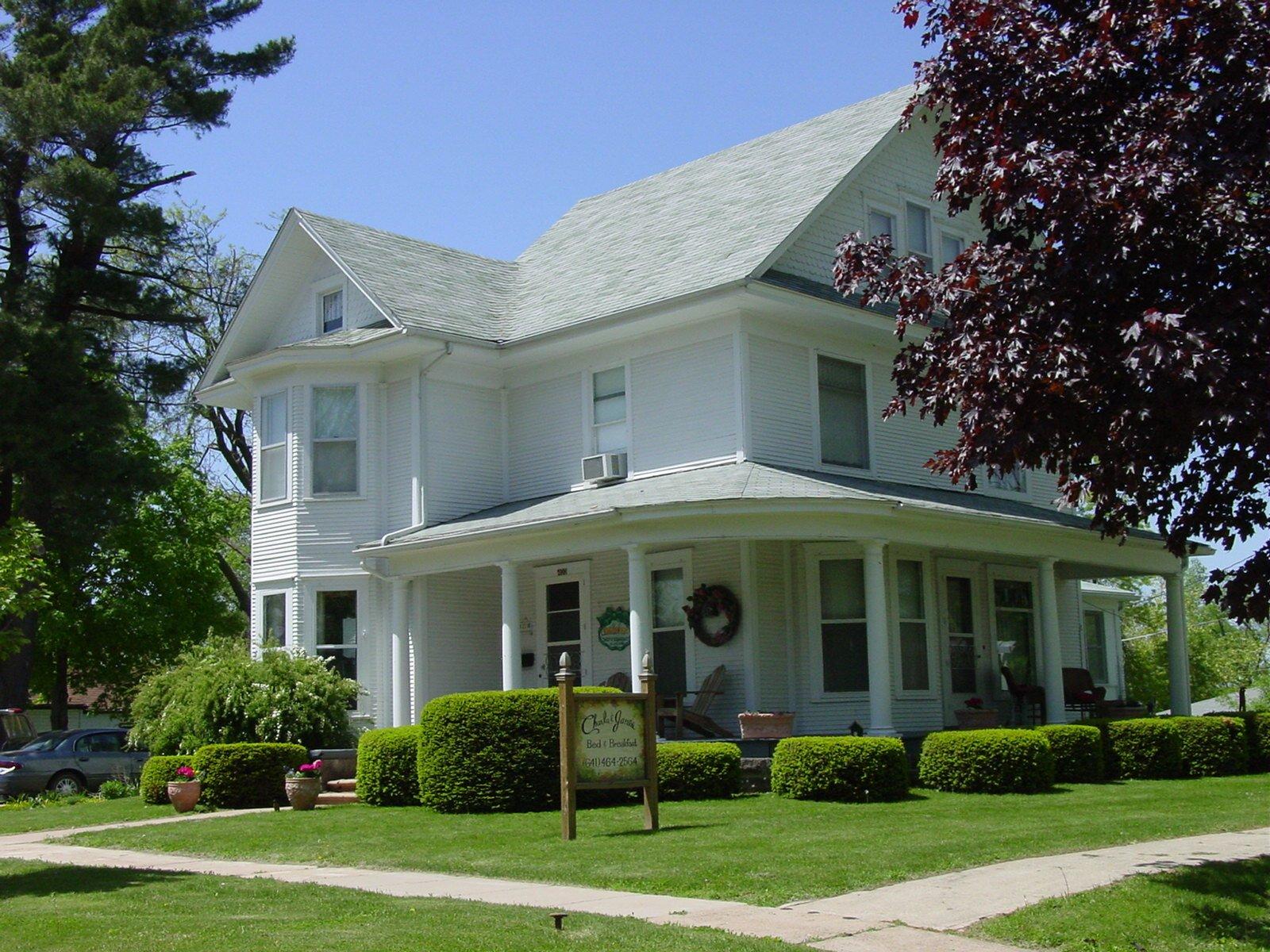
Places to stay
Hang your (vacation) hat in a place that’s just your style.

Advertisement