


Marengo, IA
Advertisement
Marengo, IA Map
Marengo is a US city in Iowa County in the state of Iowa. Located at the longitude and latitude of -92.069444, 41.797222 and situated at an elevation of 225 meters. In the 2020 United States Census, Marengo, IA had a population of 2,435 people. Marengo is in the Central Standard Time timezone at Coordinated Universal Time (UTC) -6. Find directions to Marengo, IA, browse local businesses, landmarks, get current traffic estimates, road conditions, and more.
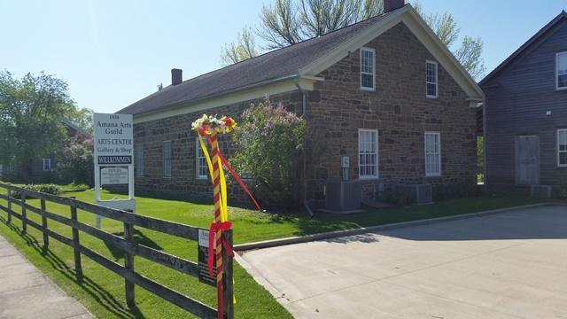
Marengo, located in the heart of Iowa, is a city steeped in small-town charm and historical significance. Known for its welcoming community and picturesque landscapes, Marengo offers a glimpse into the quintessential Midwestern lifestyle. The city is perhaps best known for its historical architecture, with several buildings that date back to the late 19th and early 20th centuries, reflecting its rich past. One notable attraction is the Marengo Public Library, a cornerstone of the community that provides both a quiet retreat and a hub for local events. The Iowa Valley Scenic Byway, which passes nearby, offers a scenic drive that showcases the natural beauty surrounding Marengo, making it a popular route for both locals and visitors.
For those interested in history, Marengo provides a sense of nostalgia with its well-preserved downtown area that echoes its pioneer origins. The city's historical connections can be further explored through local museums and historical societies that offer insights into the area's development over the years. Additionally, Marengo's proximity to the Iowa River makes it a favored spot for outdoor enthusiasts who enjoy fishing, kayaking, and hiking. Overall, Marengo serves as a peaceful retreat that combines historical depth with natural beauty, offering visitors a chance to experience the serene side of Iowa.
Nearby cities include: South Amana, IA, Ladora, IA, Blairstown, IA, Watkins, IA, St. Clair, IA, Leroy, IA, Luzerne, IA, Williamsburg, IA, Amana, IA, Norway, IA.
Places in Marengo
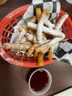
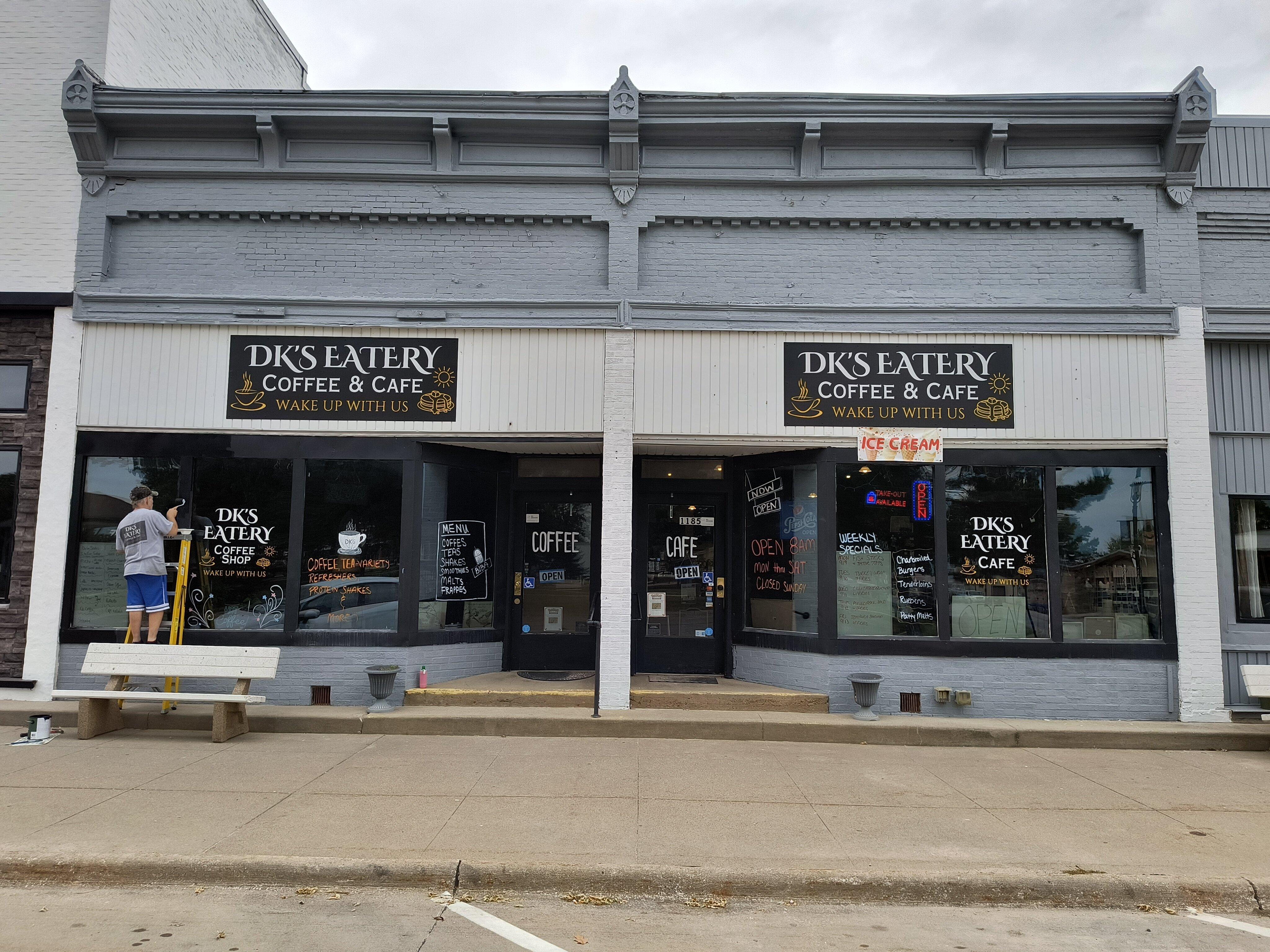
Dine and drink
Eat and drink your way through town.


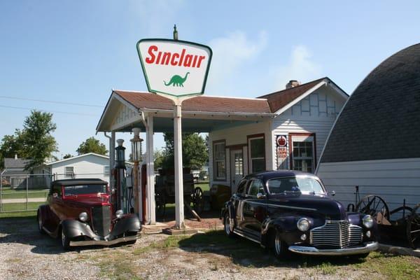
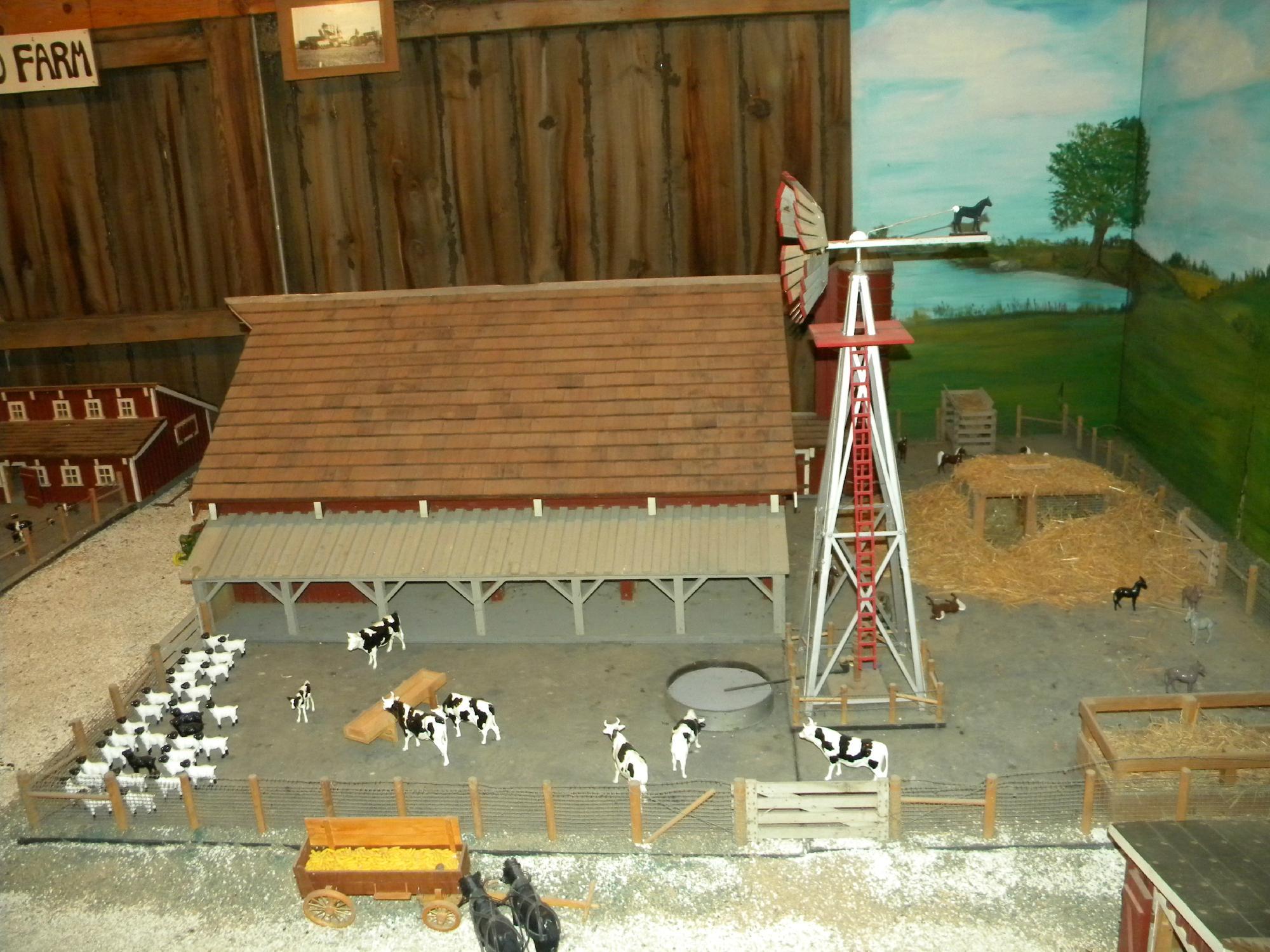
Can't-miss activities
Culture, natural beauty, and plain old fun.

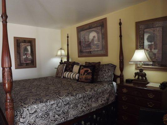
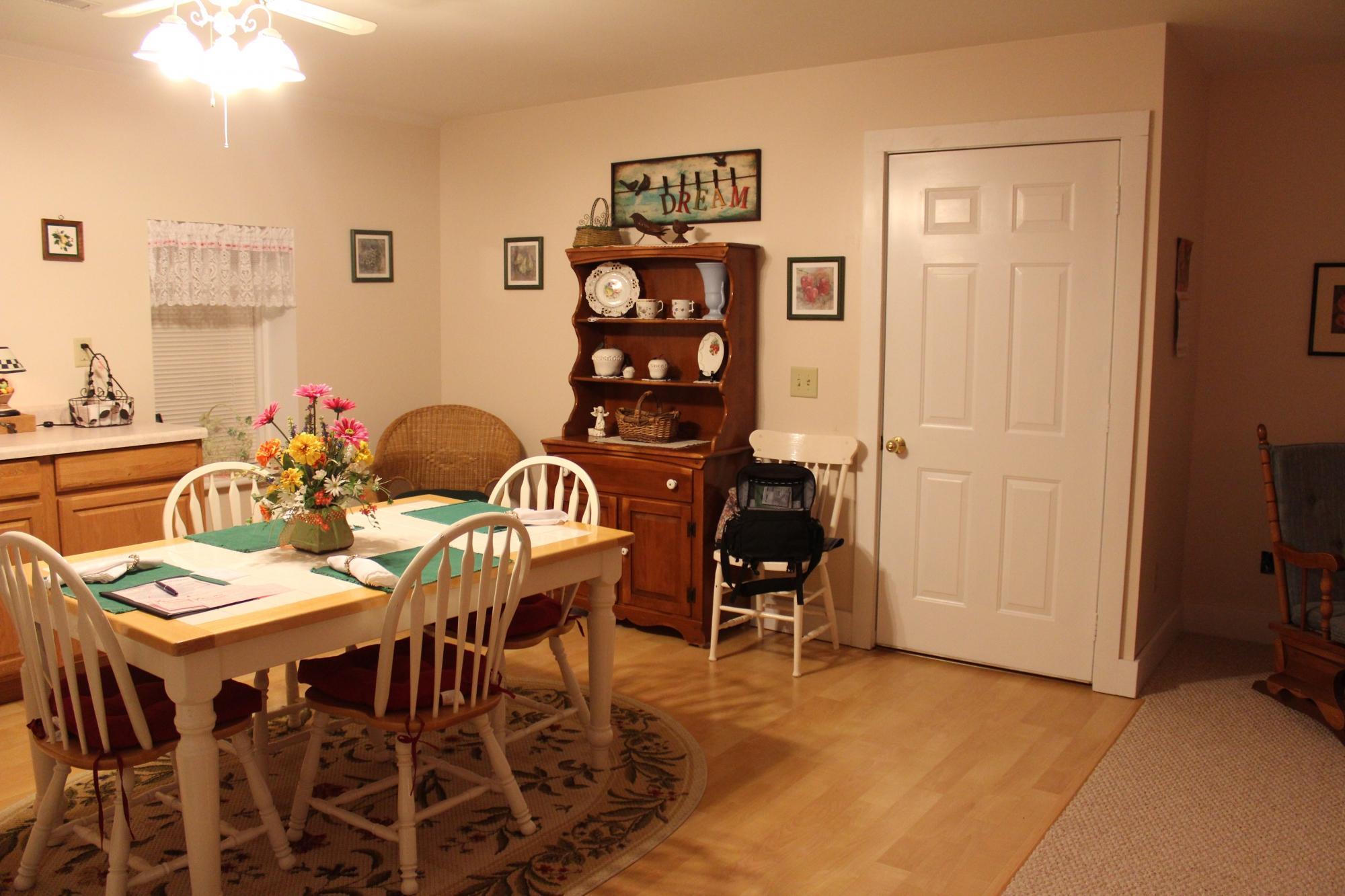
Places to stay
Hang your (vacation) hat in a place that’s just your style.


Advertisement