


Lidderdale, IA
Advertisement
Lidderdale, IA Map
Lidderdale is a US city in Carroll County in the state of Iowa. Located at the longitude and latitude of -94.783056, 42.125000 and situated at an elevation of 377 meters. In the 2020 United States Census, Lidderdale, IA had a population of 166 people. Lidderdale is in the Central Standard Time timezone at Coordinated Universal Time (UTC) -6. Find directions to Lidderdale, IA, browse local businesses, landmarks, get current traffic estimates, road conditions, and more.
Lidderdale, a small city in Iowa, is a quintessential representation of the rural charm found in the American Midwest. While it may not be widely known for grand attractions or bustling streets, Lidderdale offers a serene glimpse into the agricultural heartland of the United States. The city is characterized by its tight-knit community and a landscape dominated by expansive fields and farmlands. Visitors often enjoy the peaceful environment and the opportunity to experience a slice of genuine Midwestern life.
Though it is a small city, Lidderdale has its own unique appeal. The local community center often serves as a hub for events and gatherings, fostering a strong sense of camaraderie among residents and visitors alike. Additionally, historical enthusiasts may find interest in the city's modest yet intriguing history, which reflects the broader narrative of settlement and development in Iowa. Lidderdale's charm lies in its simplicity and the warm hospitality of its residents, making it a quaint stop for those exploring the region.
Nearby cities include: Glidden, IA, Carroll, IA, Glidden, IA, Lanesboro, IA, Kniest, IA, Pleasant Valley, IA, Ralston, IA, Auburn, IA, Lake City, IA, Willey, IA.
Places in Lidderdale


Can't-miss activities
Culture, natural beauty, and plain old fun.


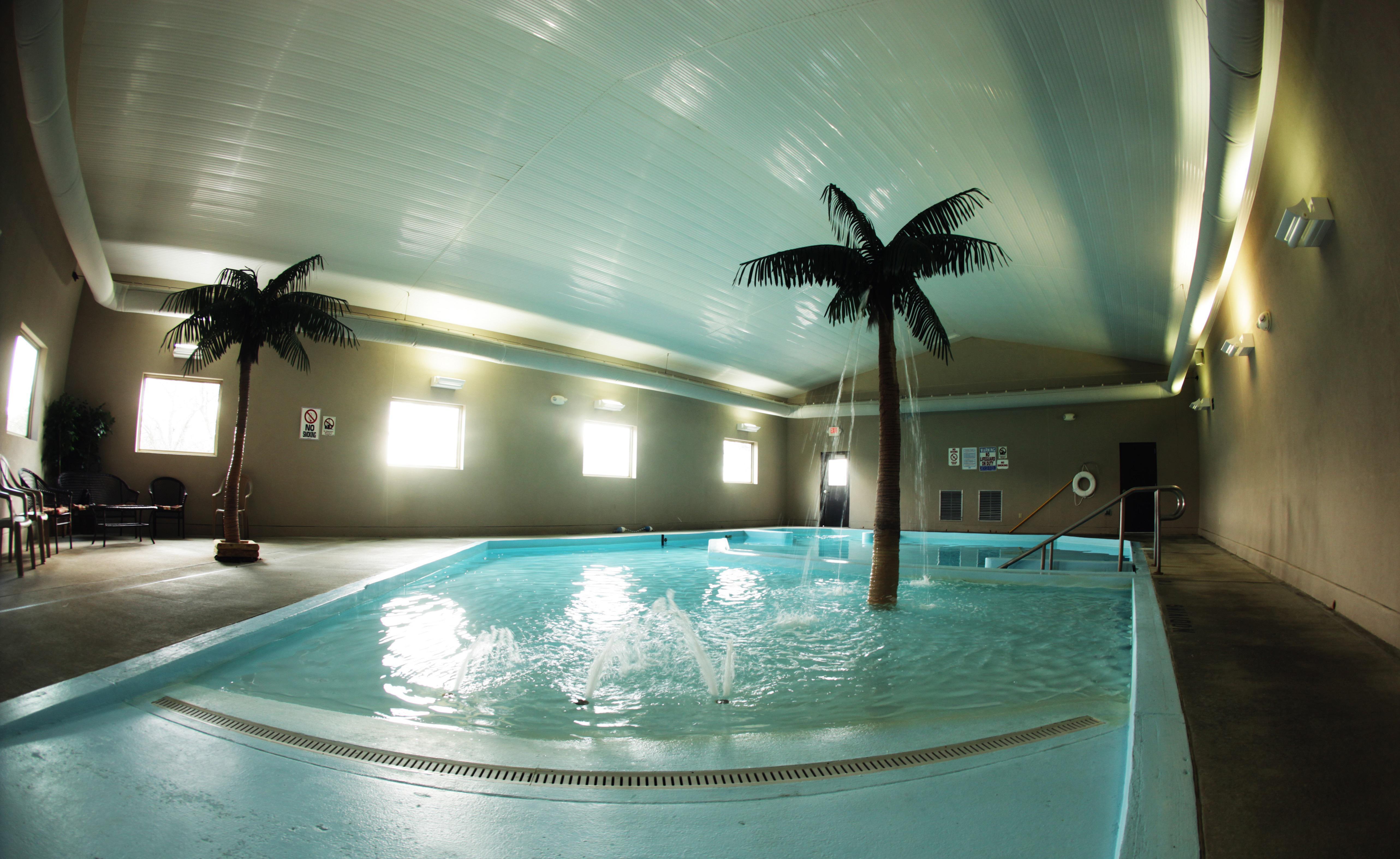
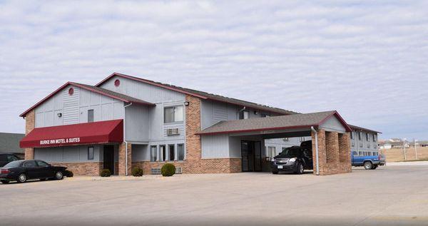
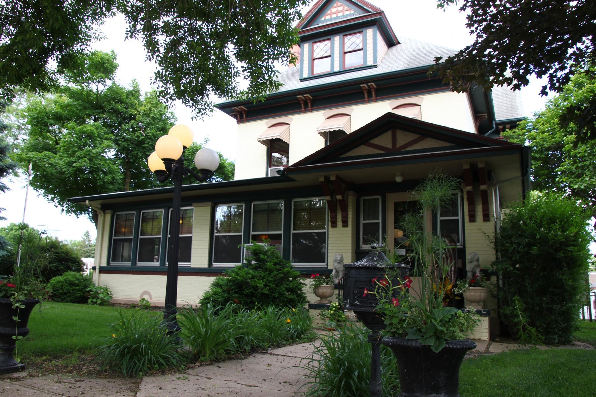
Places to stay
Hang your (vacation) hat in a place that’s just your style.

Advertisement