Lake Mills, IA
Advertisement
Lake Mills, IA Map
Lake Mills is a US city in Winnebago County in the state of Iowa. Located at the longitude and latitude of -93.531944, 43.418333 and situated at an elevation of 393 meters. In the 2020 United States Census, Lake Mills, IA had a population of 2,143 people. Lake Mills is in the Central Standard Time timezone at Coordinated Universal Time (UTC) -6. Find directions to Lake Mills, IA, browse local businesses, landmarks, get current traffic estimates, road conditions, and more.
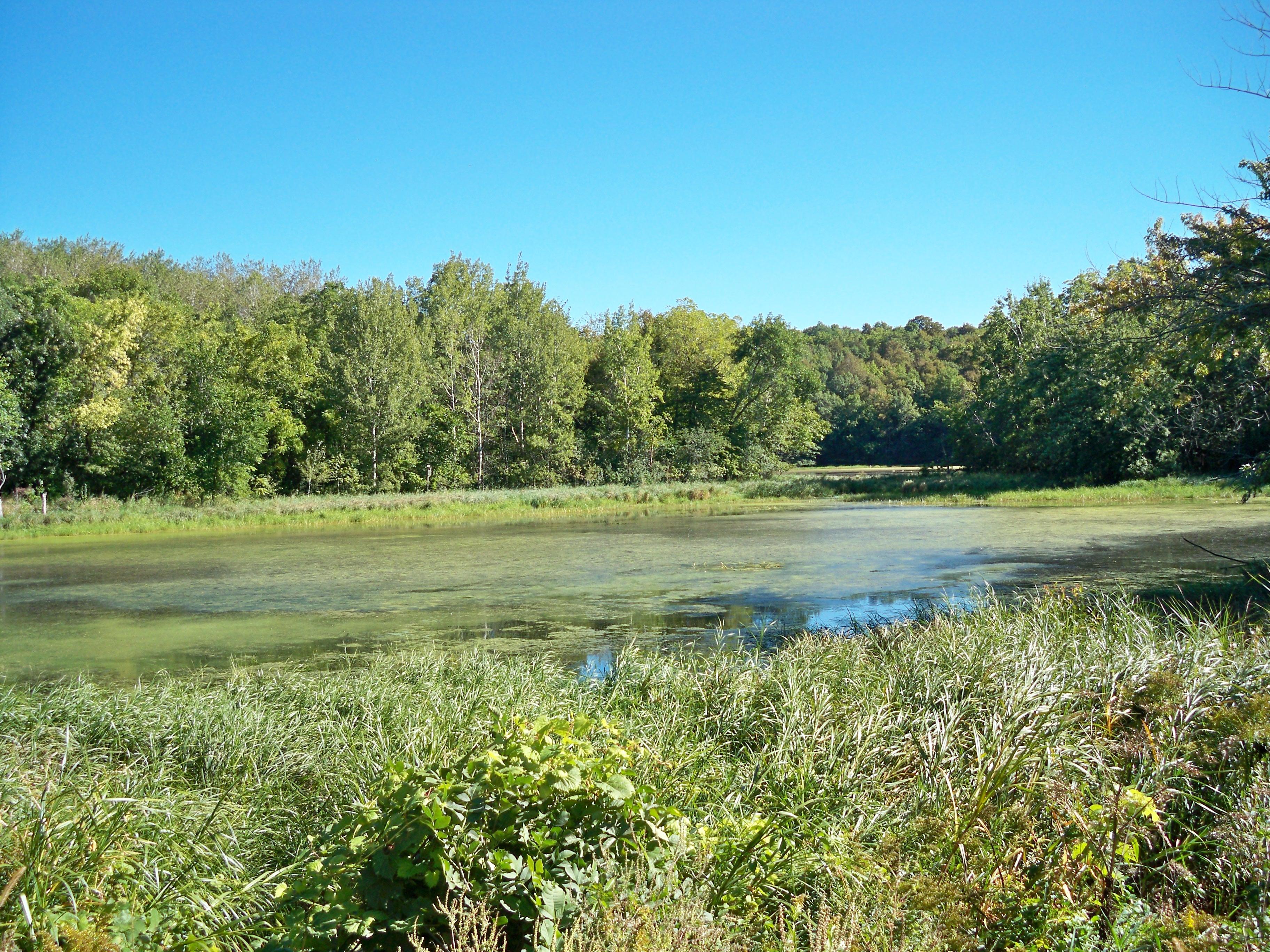
Lake Mills, located in the heartland of Iowa, is a charming city known for its small-town appeal and community spirit. One of the city's highlights is the picturesque Rice Lake State Park, offering opportunities for fishing, hiking, and wildlife observation. This park is a local favorite for those seeking outdoor recreation and a tranquil escape in nature. Lake Mills also boasts a rich agricultural heritage, with its history closely tied to farming and rural development, which is celebrated through various community events and gatherings.
Within the city, visitors can explore the Lake Mills Area Historical Society Museum, which provides a glimpse into the area's past with exhibits and artifacts that tell the story of the city’s development over the years. The downtown area, with its quaint shops and eateries, offers a welcoming atmosphere where locals and visitors alike can enjoy a leisurely stroll. With its blend of historical charm and natural beauty, Lake Mills provides a quintessential experience of Midwestern hospitality and culture.
Nearby cities include: Joice, IA, Scarville, IA, Emmons, MN, Leland, IA, Nunda, MN, Twin Lakes, MN, Fertile, IA, Forest City, IA, Kiester, MN, Hanlontown, IA.
Places in Lake Mills
Dine and drink
Eat and drink your way through town.
Can't-miss activities
Culture, natural beauty, and plain old fun.
Places to stay
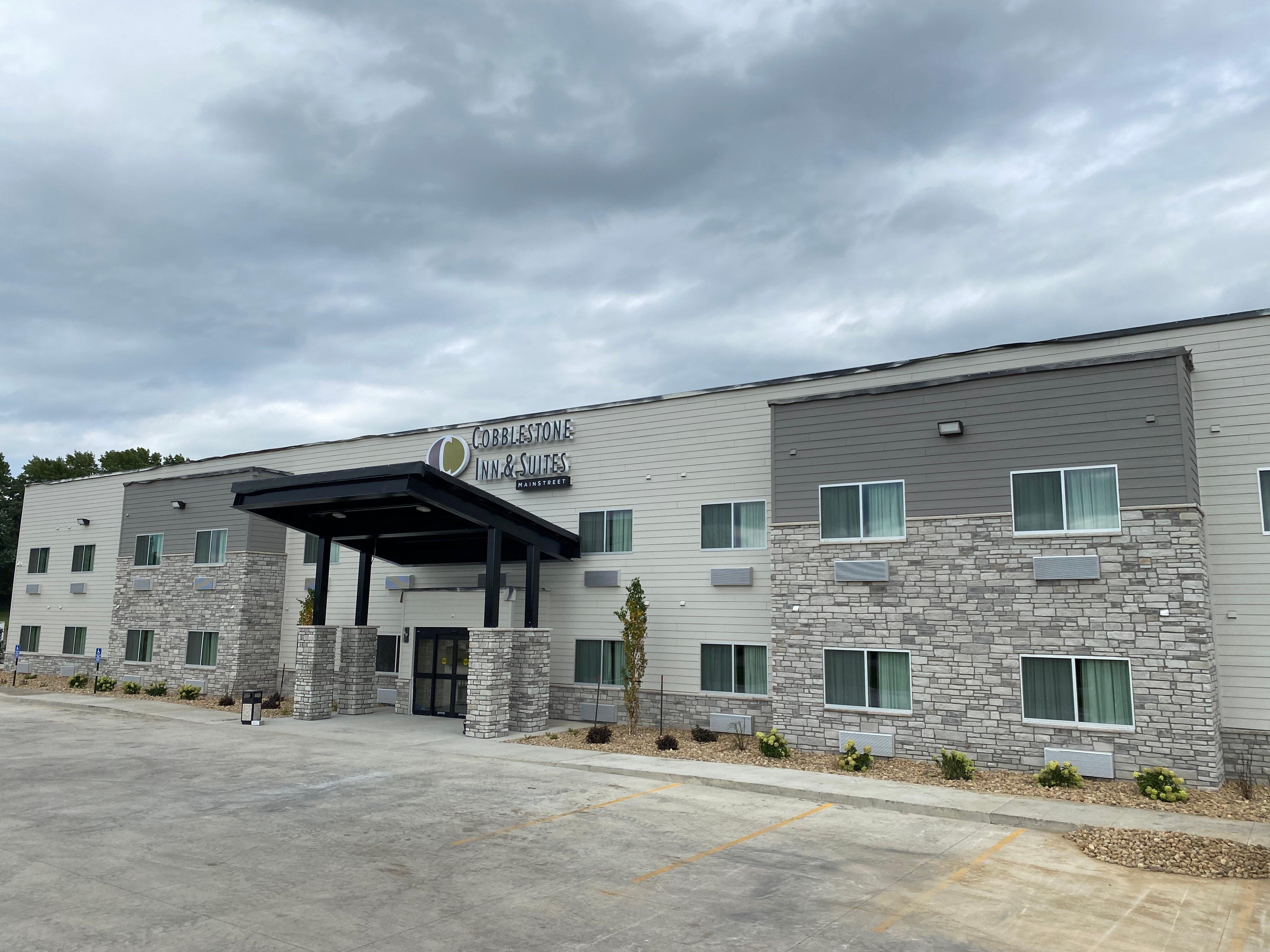
Hang your (vacation) hat in a place that’s just your style.
Advertisement


