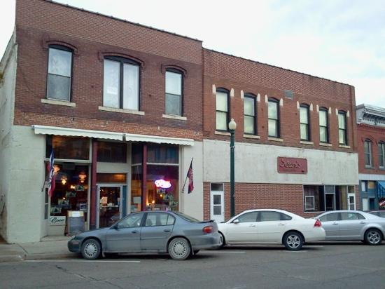
Elkader, IA
Advertisement
Elkader, IA Map
Elkader is a US city in Clayton County in the state of Iowa. Located at the longitude and latitude of -91.403056, 42.855833 and situated at an elevation of 223 meters. In the 2020 United States Census, Elkader, IA had a population of 1,209 people. Elkader is in the Central Standard Time timezone at Coordinated Universal Time (UTC) -6. Find directions to Elkader, IA, browse local businesses, landmarks, get current traffic estimates, road conditions, and more.
Elkader, located in Iowa, is a city that exudes charm and a rich historical tapestry. Named after Algerian leader Emir Abdelkader, Elkader is known for its unique blend of American and Algerian influences, which is rare in the United States. The city is renowned for its picturesque setting along the Turkey River, offering scenic beauty and outdoor activities such as fishing and kayaking. The historic Keystone Bridge, a stone arch bridge built in 1889, stands as an iconic structure and is a testament to the city's architectural heritage.
Visitors to Elkader can explore the city's vibrant cultural scene at the Opera House, which hosts a variety of performances and events, making it a central hub for community engagement. The Carter House Museum offers a glimpse into the local history with its well-preserved artifacts and exhibits. For those interested in nature, the Motor Mill Historic Site provides trails and a look into the area's milling history. Elkader's unique blend of history, culture, and natural beauty makes it a noteworthy stop in Iowa.
Nearby cities include: Boardman, IA, Cox Creek, IA, Wagner, IA, Farmersburg, IA, Volga, IA, Volga, IA, Highland, IA, Garnavillo, IA, Sperry, IA, Marion, IA.
Places in Elkader
Dine and drink
Eat and drink your way through town.
Can't-miss activities
Culture, natural beauty, and plain old fun.
Advertisement


