Dow City, IA
Advertisement
Dow City, IA Map
Dow City is a US city in Crawford County in the state of Iowa. Located at the longitude and latitude of -95.494444, 41.928333 and situated at an elevation of 348 meters. In the 2020 United States Census, Dow City, IA had a population of 485 people. Dow City is in the Central Standard Time timezone at Coordinated Universal Time (UTC) -6. Find directions to Dow City, IA, browse local businesses, landmarks, get current traffic estimates, road conditions, and more.
Dow City, located in Iowa, is a small but historically rich community that offers a glimpse into the agrarian lifestyle of the American Midwest. Known primarily for its close-knit community and farming heritage, the city provides an authentic rural experience for visitors. The city is home to a number of historical sites, including the Dow House, a well-preserved example of Victorian architecture that offers insights into the life of early settlers in the region. This historic house is often a focal point for those interested in the local history and culture.
Aside from its historical significance, Dow City is also appreciated for its scenic landscapes and outdoor recreational opportunities. The surrounding countryside offers a picturesque backdrop for hiking, birdwatching, and other nature activities. The city hosts various local events and fairs throughout the year, celebrating its agricultural roots and community spirit. These gatherings provide excellent opportunities for visitors to experience local traditions, crafts, and cuisine, making Dow City a charming and educational destination for those interested in exploring rural America.
Nearby cities include: Arion, IA, Paradise, IA, Buck Grove, IA, Denison, IA, Dunlap, IA, Denison, IA, Defiance, IA, Hanover, IA, Charter Oak, IA, Earling, IA.
Places in Dow City
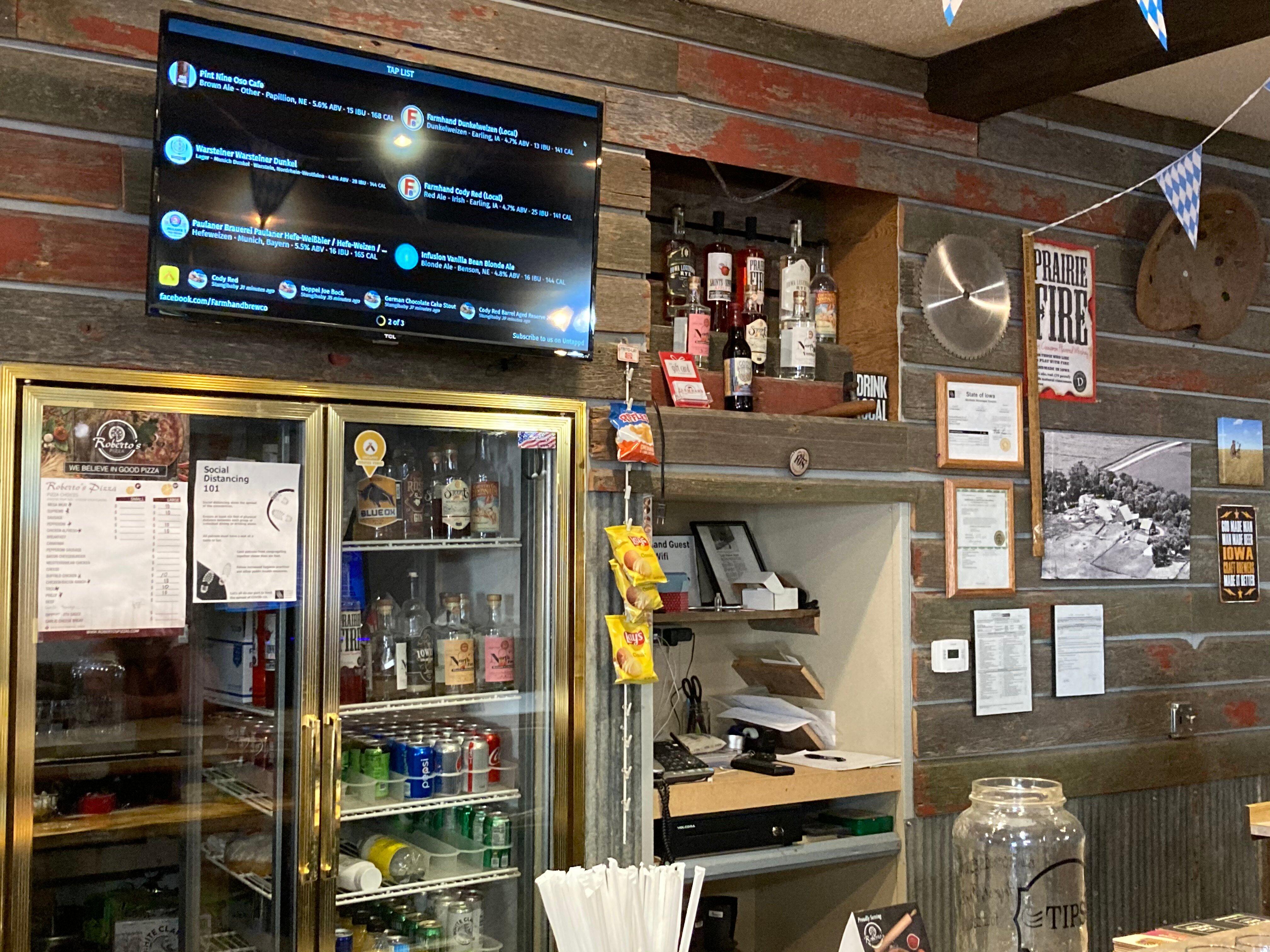
Dine and drink
Eat and drink your way through town.
Can't-miss activities
Culture, natural beauty, and plain old fun.
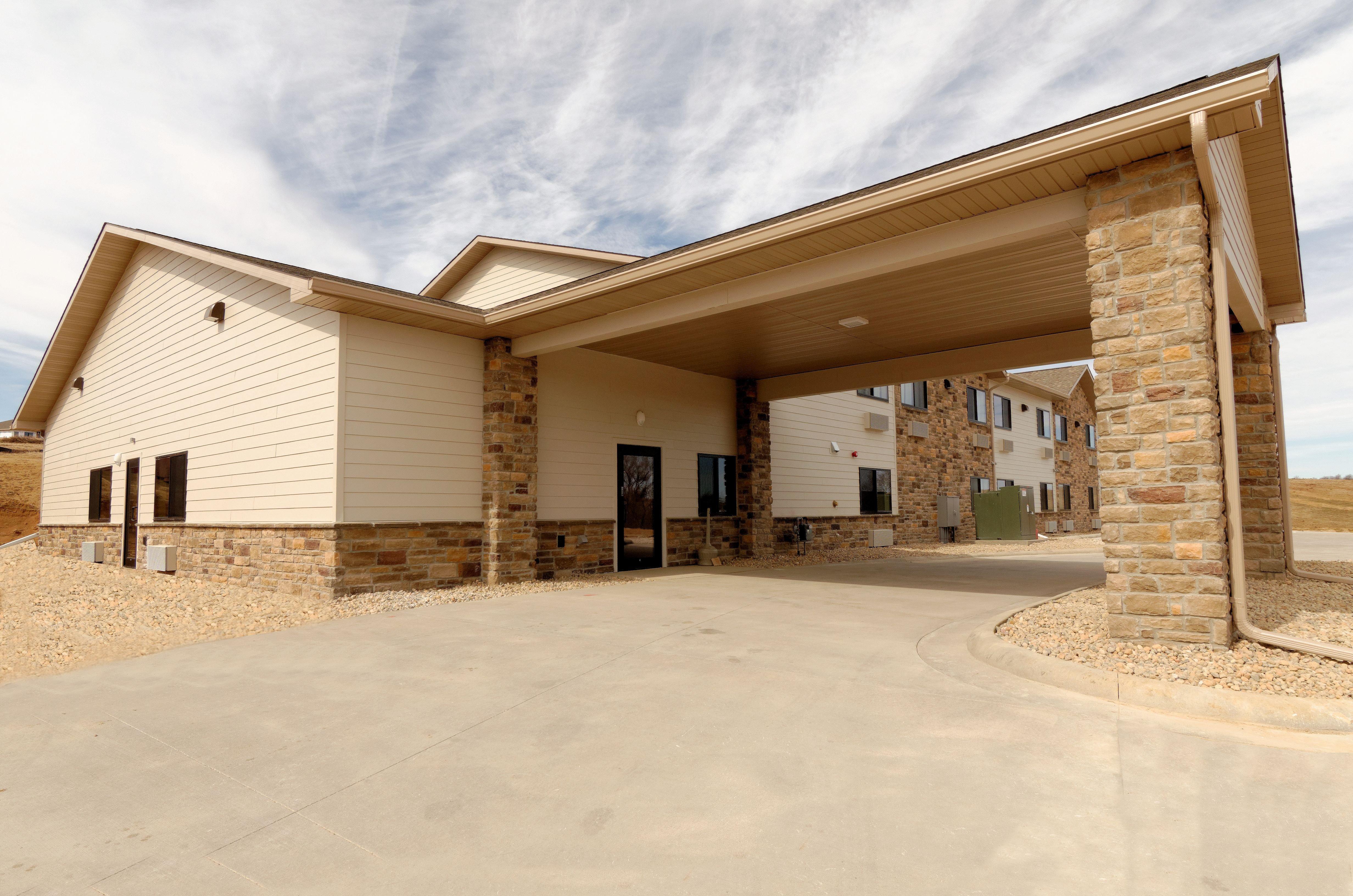
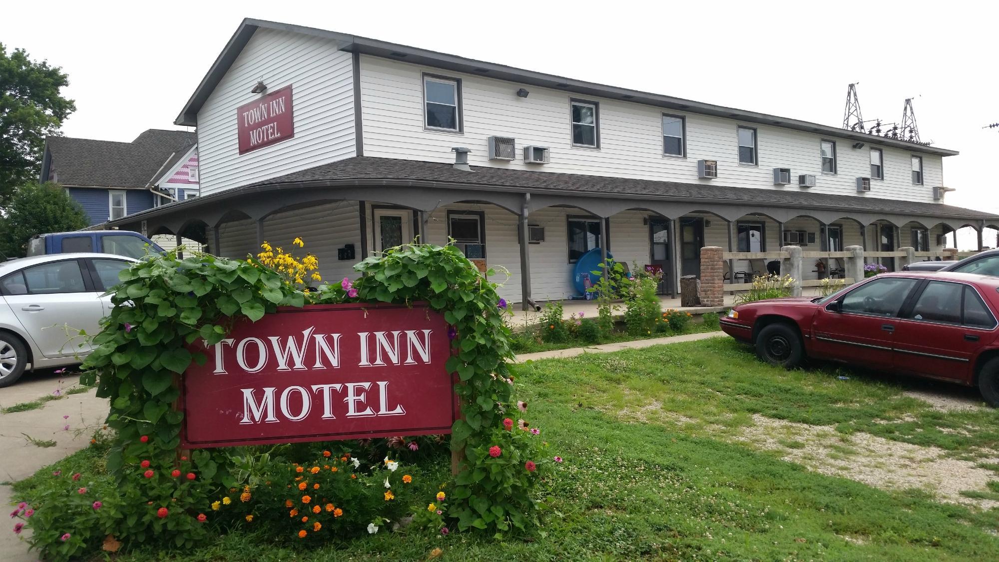
Places to stay
Hang your (vacation) hat in a place that’s just your style.
Advertisement


