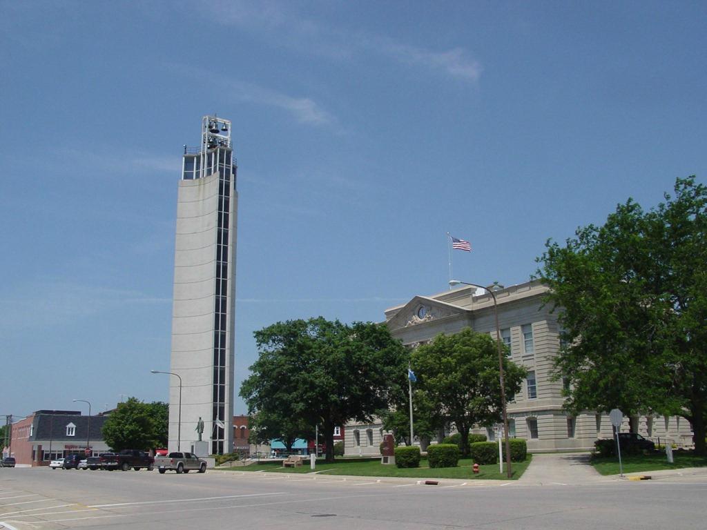
Churdan, IA
Advertisement
Churdan, IA Map
Churdan is a US city in Greene County in the state of Iowa. Located at the longitude and latitude of -94.476667, 42.155000 and situated at an elevation of 340 meters. In the 2020 United States Census, Churdan, IA had a population of 365 people. Churdan is in the Central Standard Time timezone at Coordinated Universal Time (UTC) -6. Find directions to Churdan, IA, browse local businesses, landmarks, get current traffic estimates, road conditions, and more.
Churdan, located in the heart of Iowa, is a small city that offers a glimpse into the quintessential Midwestern lifestyle. The city is known for its community spirit and agricultural roots, which are evident in the surrounding landscapes of farms and fields. A notable historical landmark is the Churdan Public Library, which serves as a hub of knowledge and community activities, reflecting the town's commitment to education and culture. The library is housed in a charming historic building that adds to the town's quaint and welcoming atmosphere.
For those visiting Churdan, the local parks provide a serene escape into nature, perfect for leisurely walks or a family picnic. The town's annual events, such as local fairs and community gatherings, are a testament to its vibrant community life and offer visitors a chance to experience the warmth and hospitality of Churdan's residents. While it may be small in size, Churdan's rich history and close-knit community make it a unique destination for those looking to experience the charm of rural Iowa.
Nearby cities include: Reading, IA, Lohrville, IA, Farnhamville, IA, Scranton, IA, Jefferson, IA, Ralston, IA, Lanesboro, IA, Paton, IA, Glidden, IA, Dana, IA.
Places in Churdan
Dine and drink
Eat and drink your way through town.
Can't-miss activities
Culture, natural beauty, and plain old fun.
Places to stay
Hang your (vacation) hat in a place that’s just your style.
Advertisement


